
Distance between  Cunnamulla and
  Cobram
542.50 mi Straight Distance
616.88 mi Driving Distance
12 hours 4 mins Estimated Driving Time
The straight distance between Cunnamulla (Queensland) and Cobram (Victoria) is 542.50 mi, but the driving distance is 616.88 mi.
It takes 11 hours 7 mins to go from Cunnamulla to Cobram.
Driving directions from Cunnamulla to Cobram
Distance in kilometers
Straight distance: 872.89 km. Route distance: 992.56 km
Cunnamulla, Australia
Latitude: -28.0679 // Longitude: 145.684
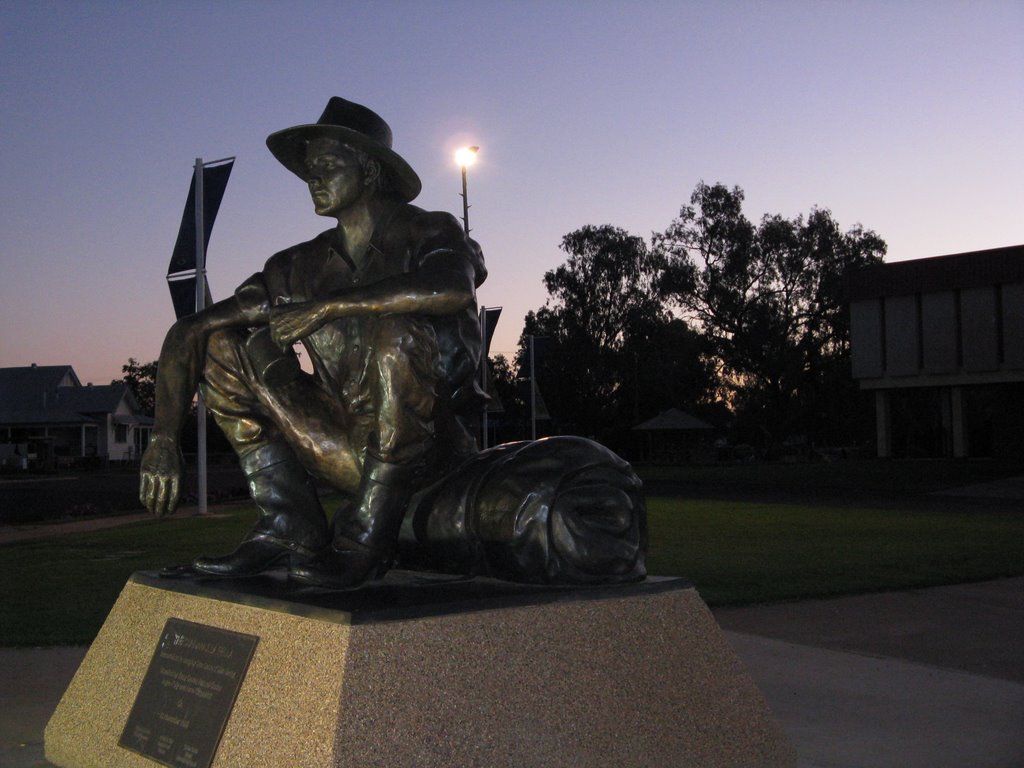
Photos of Cunnamulla


Cunnamulla Weather

Forecast: Clear sky
Temperature: 34.2°
Humidity: 25%
Current time: 01:30 AM
Sunrise: 06:04 AM
Sunset: 06:57 PM
Cobram, Australia
Latitude: -35.9196 // Longitude: 145.649
Photos of Cobram


Cobram Weather

Forecast: Light rain
Temperature: 18.0°
Humidity: 93%
Current time: 02:30 AM
Sunrise: 06:56 AM
Sunset: 08:05 PM


