
Distance between  Cuballing and
  Gannawarra
1,548.63 mi Straight Distance
1,996.77 mi Driving Distance
1 day 13 hours Estimated Driving Time
The straight distance between Cuballing (Western Australia) and Gannawarra (Victoria) is 1,548.63 mi, but the driving distance is 1,996.77 mi.
It takes 1 day 13 hours to go from Cuballing to Gannawarra.
Driving directions from Cuballing to Gannawarra
Distance in kilometers
Straight distance: 2,491.75 km. Route distance: 3,212.80 km
Cuballing, Australia
Latitude: -32.8186 // Longitude: 117.18
Photos of Cuballing


Cuballing Weather

Forecast: Clear sky
Temperature: 19.8°
Humidity: 74%
Sun info not available
Gannawarra, Australia
Latitude: -35.7336 // Longitude: 144.161
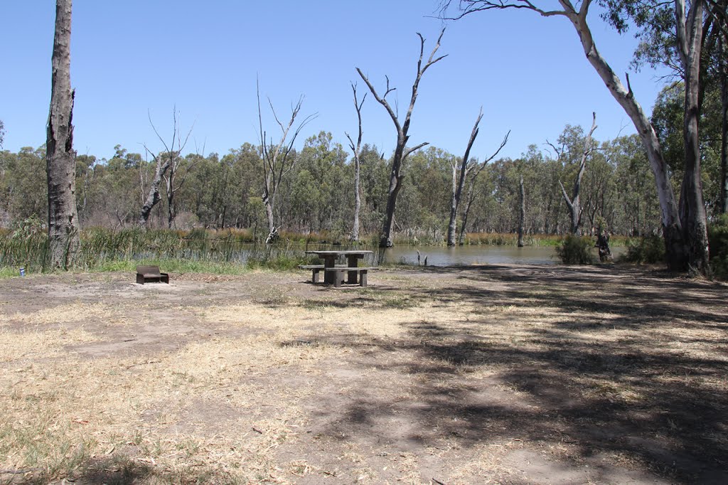
Photos of Gannawarra


Gannawarra Weather
Forecast: Clear sky
Temperature: 15.0°
Humidity: 88%
Sun info not available


