
Distance between  Crossover and
  Springsure
971.06 mi Straight Distance
1,237.92 mi Driving Distance
1 days 0 hours Estimated Driving Time
The straight distance between Crossover (Victoria) and Springsure (Queensland) is 971.06 mi, but the driving distance is 1,237.92 mi.
It takes 1 days 0 hours to go from Crossover to Springsure.
Driving directions from Crossover to Springsure
Distance in kilometers
Straight distance: 1,562.43 km. Route distance: 1,991.81 km
Crossover, Australia
Latitude: -38.0522 // Longitude: 145.967
Photos of Crossover


Crossover Weather

Forecast: Light rain
Temperature: 27.7°
Humidity: 46%
Current time: 02:44 PM
Sunrise: 07:08 AM
Sunset: 07:43 PM
Springsure, Australia
Latitude: -24.1147 // Longitude: 148.089
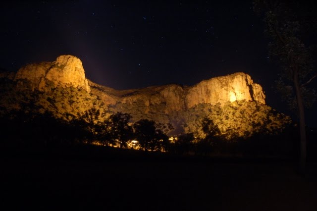
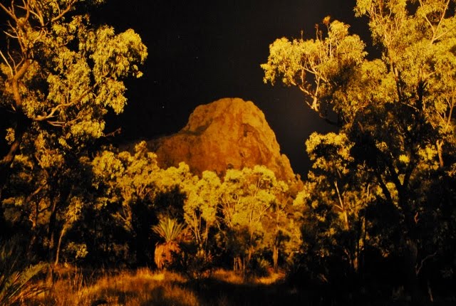
Photos of Springsure


Springsure Weather

Forecast: Clear sky
Temperature: 22.9°
Humidity: 77%
Current time: 01:44 PM
Sunrise: 06:06 AM
Sunset: 06:29 PM


