
Distance between  Coulta and
  Hatherleigh
343.85 mi Straight Distance
676.53 mi Driving Distance
13 hours 8 mins Estimated Driving Time
The straight distance between Coulta (South Australia) and Hatherleigh (South Australia) is 343.85 mi, but the driving distance is 676.53 mi.
It takes to go from Coulta to Hatherleigh.
Driving directions from Coulta to Hatherleigh
Distance in kilometers
Straight distance: 553.25 km. Route distance: 1,088.54 km
Coulta, Australia
Latitude: -34.3874 // Longitude: 135.466
Photos of Coulta


Coulta Weather

Forecast: Moderate rain
Temperature: 21.2°
Humidity: 87%
Current time: 12:00 AM
Sunrise: 08:43 PM
Sunset: 09:38 AM
Hatherleigh, Australia
Latitude: -37.4898 // Longitude: 140.274
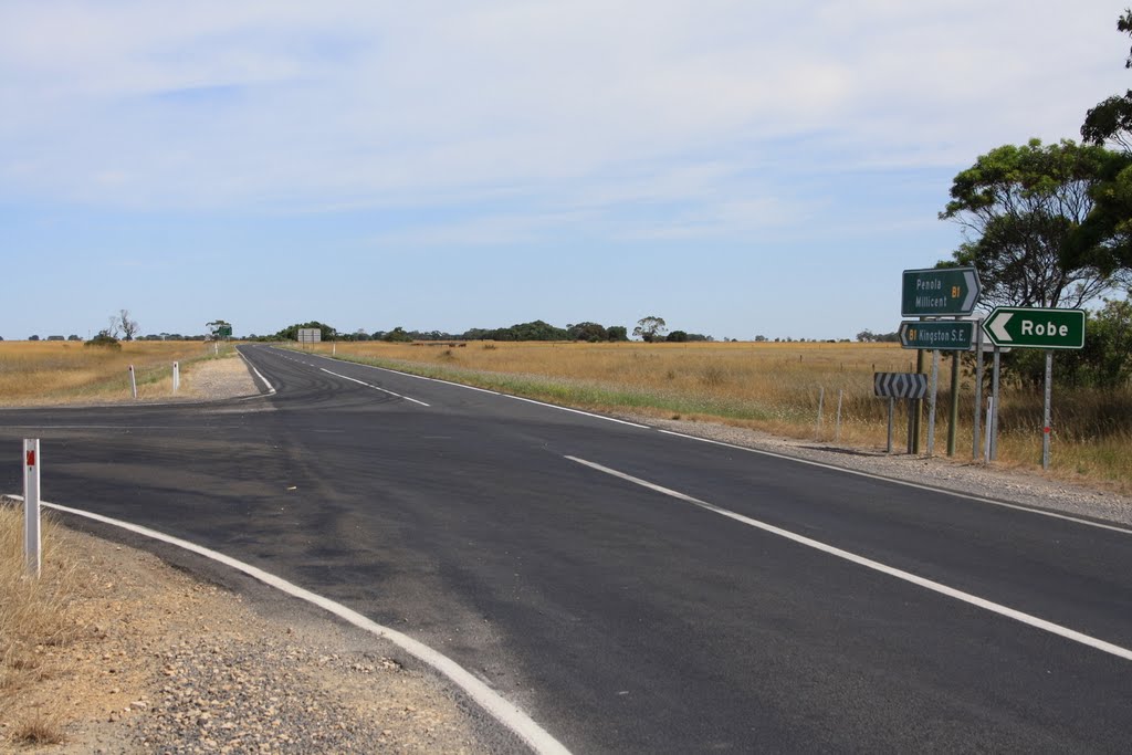
Photos of Hatherleigh


Hatherleigh Weather
Forecast: Moderate rain
Temperature: 21.3°
Humidity: 90%
Current time: 12:00 AM
Sunrise: 08:21 PM
Sunset: 09:21 AM


