
Distance between  Clover Flat and
  Hatherleigh
70.87 mi Straight Distance
90.73 mi Driving Distance
1 hour 50 mins Estimated Driving Time
The straight distance between Clover Flat (Victoria) and Hatherleigh (South Australia) is 70.87 mi, but the driving distance is 90.73 mi.
It takes 1 hour 50 mins to go from Clover Flat to Hatherleigh.
Driving directions from Clover Flat to Hatherleigh
Distance in kilometers
Straight distance: 114.03 km. Route distance: 145.99 km
Clover Flat, Australia
Latitude: -37.6086 // Longitude: 141.559
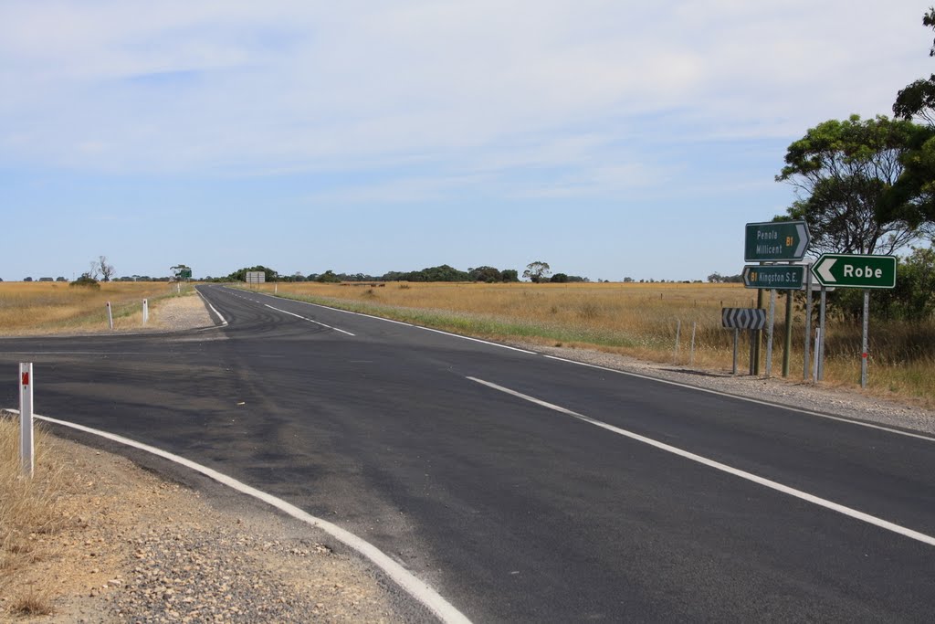
Photos of Clover Flat


Clover Flat Weather

Forecast: Scattered clouds
Temperature: 13.4°
Humidity: 89%
Sun info not available
Hatherleigh, Australia
Latitude: -37.4898 // Longitude: 140.274
Photos of Hatherleigh


Hatherleigh Weather

Forecast: Overcast clouds
Temperature: 15.6°
Humidity: 74%
Sun info not available


