
Distance between  Clifton and
  Templers
898.21 mi Straight Distance
1,144.69 mi Driving Distance
22 hours 9 mins Estimated Driving Time
The straight distance between Clifton (Queensland) and Templers (South Australia) is 898.21 mi, but the driving distance is 1,144.69 mi.
It takes 22 hours 9 mins to go from Clifton to Templers.
Driving directions from Clifton to Templers
Distance in kilometers
Straight distance: 1,445.23 km. Route distance: 1,841.80 km
Clifton, Australia
Latitude: -27.9331 // Longitude: 151.908
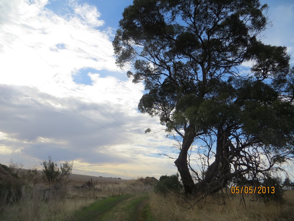
Photos of Clifton


")

")
Clifton Weather

Forecast: Overcast clouds
Temperature: 18.2°
Humidity: 90%
Current time: 05:45 AM
Sunrise: 05:48 AM
Sunset: 06:16 PM
Templers, Australia
Latitude: -34.4685 // Longitude: 138.747
Photos of Templers


Templers Weather

Forecast: Clear sky
Temperature: 15.6°
Humidity: 66%
Current time: 06:15 AM
Sunrise: 07:08 AM
Sunset: 07:42 PM


