
Distance between  Chiltern and
  Tarcutta
87.59 mi Straight Distance
104.32 mi Driving Distance
1 hour 57 mins Estimated Driving Time
The straight distance between Chiltern (Victoria) and Tarcutta (New South Wales) is 87.59 mi, but the driving distance is 104.32 mi.
It takes 1 hour 44 mins to go from Chiltern to Tarcutta.
Driving directions from Chiltern to Tarcutta
Distance in kilometers
Straight distance: 140.93 km. Route distance: 167.86 km
Chiltern, Australia
Latitude: -36.1512 // Longitude: 146.609
Photos of Chiltern


![Chiltern Railway Station (2010). The station complex, including the goods shed, were built [1875] in the best public works tradition. The verandah features distinctive cast iron drinking fountains on its posts](/photos/33331542.jpg "Chiltern Railway Station (2010). The station complex, including the goods shed, were built [1875] in the best public works tradition. The verandah features distinctive cast iron drinking fountains on its posts")


")
")
Chiltern Weather

Predicción: Few clouds
Temperatura: 19.3°
Humedad: 45%
Hora actual: 09:04 AM
Amanece: 06:42 AM
Anochece: 08:12 PM
Tarcutta, Australia
Latitude: -35.2764 // Longitude: 147.739
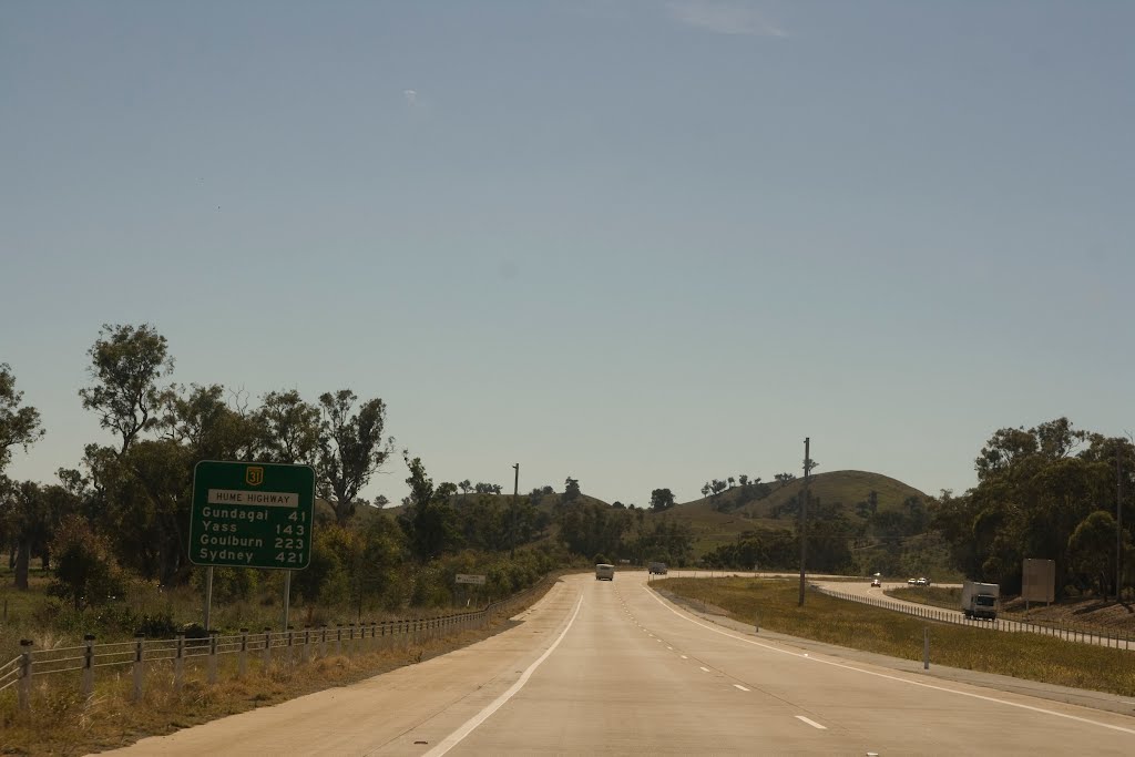
Photos of Tarcutta


Tarcutta Weather

Predicción: Clear sky
Temperatura: 19.8°
Humedad: 55%
Hora actual: 10:00 AM
Amanece: 06:39 AM
Anochece: 08:06 PM


