
Distance between  Callignee and
  Springsure
986.68 mi Straight Distance
1,290.65 mi Driving Distance
1 day 2 hours Estimated Driving Time
The straight distance between Callignee (Victoria) and Springsure (Queensland) is 986.68 mi, but the driving distance is 1,290.65 mi.
It takes 1 day 2 hours to go from Callignee to Springsure.
Driving directions from Callignee to Springsure
Distance in kilometers
Straight distance: 1,587.57 km. Route distance: 2,076.66 km
Callignee, Australia
Latitude: -38.3376 // Longitude: 146.583
Photos of Callignee


Callignee Weather

Forecast: Clear sky
Temperature: 18.0°
Humidity: 40%
Current time: 08:04 PM
Sunrise: 07:03 AM
Sunset: 07:45 PM
Springsure, Australia
Latitude: -24.1147 // Longitude: 148.089
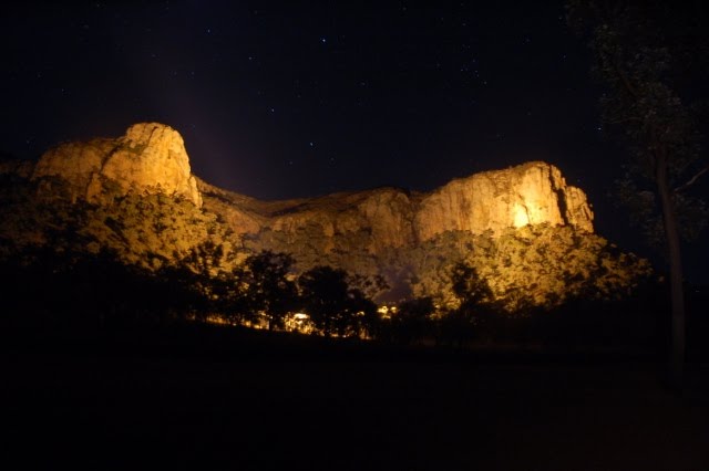
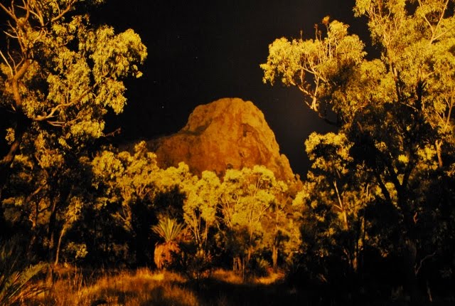
Photos of Springsure


Springsure Weather
Forecast: Clear sky
Temperature: 18.0°
Humidity: 40%
Current time: 07:04 PM
Sunrise: 06:04 AM
Sunset: 06:32 PM


