
Distance between  Bushfield and
  Moonlight Flat
107.97 mi Straight Distance
130.33 mi Driving Distance
2 hours 58 mins Estimated Driving Time
The straight distance between Bushfield (Victoria) and Moonlight Flat (Victoria) is 107.97 mi, but the driving distance is 130.33 mi.
It takes to go from Bushfield to Moonlight Flat.
Driving directions from Bushfield to Moonlight Flat
Distance in kilometers
Straight distance: 173.73 km. Route distance: 209.70 km
Bushfield, Australia
Latitude: -38.3258 // Longitude: 142.52
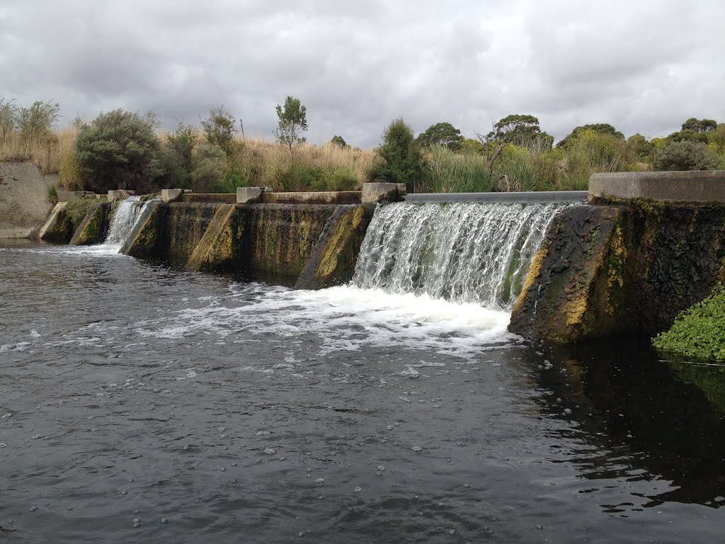
Photos of Bushfield


. St Ann’s Convent was established here in 1872. In 1991 that girls boarding school amalgamated with St Joseph’s Christian Brothers College to become Emmanuel College")
. The students can gain nationally accredited qualifications in Agriculture whilst still at school")


Bushfield Weather

Forecast: Few clouds
Temperature: 21.8°
Humidity: 63%
Current time: 11:25 PM
Sunrise: 06:57 AM
Sunset: 08:30 PM
Moonlight Flat, Australia
Latitude: -37.0492 // Longitude: 143.659
Photos of Moonlight Flat

 - designed by Henry Bastow, Chief Architect, Education Department, and opened in 1874. This is being converted into a Retirement Village")


Moonlight Flat Weather
Forecast: Few clouds
Temperature: 23.1°
Humidity: 48%
Current time: 11:25 PM
Sunrise: 06:54 AM
Sunset: 08:24 PM


