
Distance between  Bushfield and
  Culla
Culla
91.91 mi Straight Distance
111.50 mi Driving Distance
2 hours 24 mins Estimated Driving Time
The straight distance between Bushfield (Victoria) and Culla (Victoria) is 91.91 mi, but the driving distance is 111.50 mi.
It takes to go from Bushfield to Culla.
Driving directions from Bushfield to Culla
Distance in kilometers
Straight distance: 147.88 km. Route distance: 179.41 km
Bushfield, Australia
Latitude: -38.3258 // Longitude: 142.52
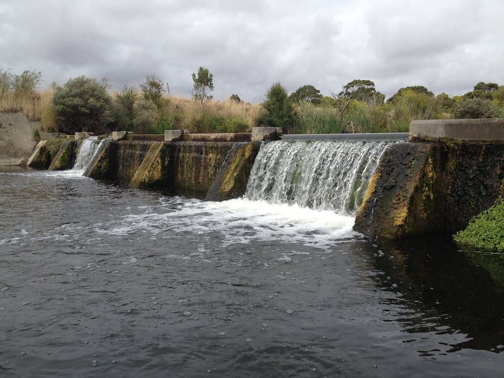
Photos of Bushfield


. St Ann’s Convent was established here in 1872. In 1991 that girls boarding school amalgamated with St Joseph’s Christian Brothers College to become Emmanuel College")
. The students can gain nationally accredited qualifications in Agriculture whilst still at school")


Bushfield Weather

Predicción: Scattered clouds
Temperatura: 13.2°
Humedad: 91%
Hora actual: 02:39 AM
Amanece: 06:55 AM
Anochece: 08:32 PM
Culla, Australia
Latitude: -37.2267 // Longitude: 141.572
Photos of Culla


. Built from a granitic stone, it has nine stands in each of the two wings")


 - believed to have been built c1864")
. Thomas Ricketts first took up the Clunie run in 1840. It was described as comprising 32,000 acres with 50 head of cattle and 12,000 sheep")
Culla Weather

Predicción: Clear sky
Temperatura: 12.2°
Humedad: 84%
Hora actual: 10:00 AM
Amanece: 07:01 AM
Anochece: 08:34 PM


