
Distance between  Brimpaen and
  Upper Natone
350.65 mi Straight Distance
489.06 mi Driving Distance
13 hours 40 mins Estimated Driving Time
The straight distance between Brimpaen (Victoria) and Upper Natone (Tasmania) is 350.65 mi, but the driving distance is 489.06 mi.
It takes 13 hours 40 mins to go from Brimpaen to Upper Natone.
Driving directions from Brimpaen to Upper Natone
Distance in kilometers
Straight distance: 564.20 km. Route distance: 786.90 km
Brimpaen, Australia
Latitude: -37.036 // Longitude: 142.217
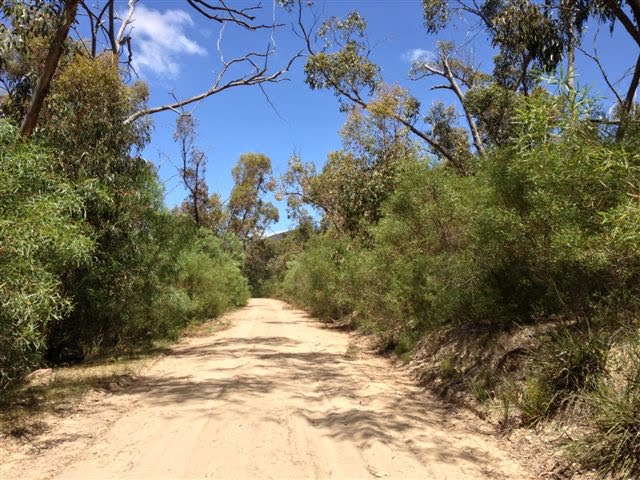
Photos of Brimpaen


Brimpaen Weather

Forecast: Scattered clouds
Temperature: 17.6°
Humidity: 39%
Sun info not available
Upper Natone, Australia
Latitude: -41.239 // Longitude: 145.887
Photos of Upper Natone


Upper Natone Weather
Forecast: Scattered clouds
Temperature: 10.9°
Humidity: 67%
Sun info not available


