
Distance between  Brimpaen and
  Mt Compass
231.93 mi Straight Distance
290.15 mi Driving Distance
6 hours 5 mins Estimated Driving Time
The straight distance between Brimpaen (Victoria) and Mt Compass (South Australia) is 231.93 mi, but the driving distance is 290.15 mi.
It takes 6 hours 5 mins to go from Brimpaen to Mt Compass.
Driving directions from Brimpaen to Mt Compass
Distance in kilometers
Straight distance: 373.18 km. Route distance: 466.85 km
Brimpaen, Australia
Latitude: -37.036 // Longitude: 142.217
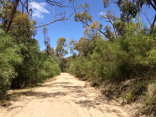
Photos of Brimpaen


Brimpaen Weather

Forecast: Clear sky
Temperature: 18.0°
Humidity: 40%
Sun info not available
Mt Compass, Australia
Latitude: -35.3483 // Longitude: 138.621
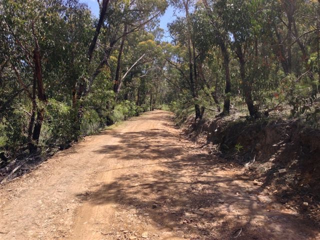
Photos of Mt Compass


Mt Compass Weather
Forecast: Clear sky
Temperature: 18.0°
Humidity: 40%
Current time: 04:20 AM
Sunrise: 07:08 AM
Sunset: 07:43 PM


