
Distance between  Brimpaen and
  Framlingham
87.46 mi Straight Distance
122.95 mi Driving Distance
2 hours 38 mins Estimated Driving Time
The straight distance between Brimpaen (Victoria) and Framlingham (Victoria) is 87.46 mi, but the driving distance is 122.95 mi.
It takes 2 hours 38 mins to go from Brimpaen to Framlingham.
Driving directions from Brimpaen to Framlingham
Distance in kilometers
Straight distance: 140.72 km. Route distance: 197.82 km
Brimpaen, Australia
Latitude: -37.036 // Longitude: 142.217
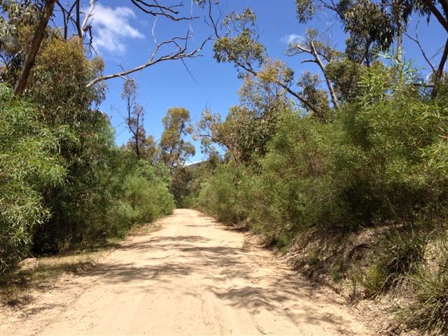
Photos of Brimpaen


Brimpaen Weather

Forecast: Few clouds
Temperature: 16.0°
Humidity: 47%
Sun info not available
Framlingham, Australia
Latitude: -38.2414 // Longitude: 142.705
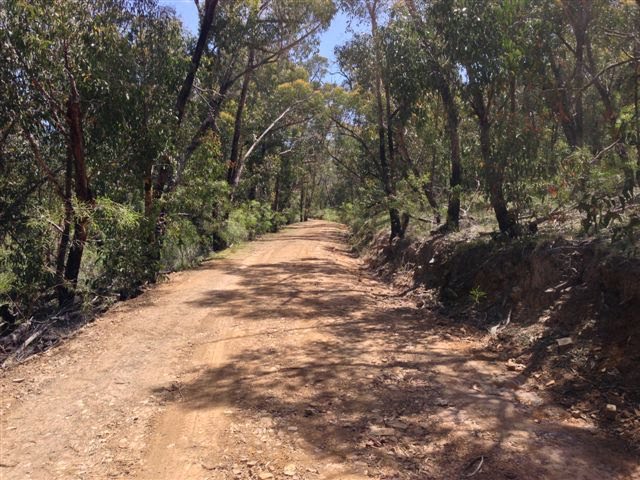
Photos of Framlingham


 (iphone)")

Framlingham Weather

Forecast: Overcast clouds
Temperature: 15.1°
Humidity: 60%
Sun info not available


