
Distance between  Brimpaen and
  Berringa
95.96 mi Straight Distance
127.83 mi Driving Distance
2 hours 48 mins Estimated Driving Time
The straight distance between Brimpaen (Victoria) and Berringa (Victoria) is 95.96 mi, but the driving distance is 127.83 mi.
It takes 2 hours 48 mins to go from Brimpaen to Berringa.
Driving directions from Brimpaen to Berringa
Distance in kilometers
Straight distance: 154.39 km. Route distance: 205.67 km
Brimpaen, Australia
Latitude: -37.036 // Longitude: 142.217
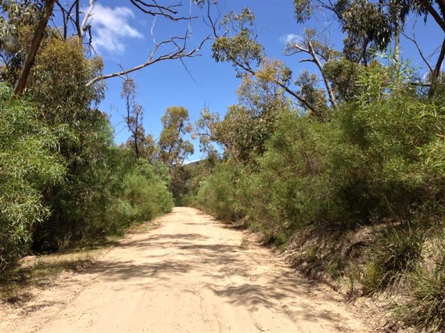
Photos of Brimpaen


Brimpaen Weather

Forecast: Clear sky
Temperature: 12.8°
Humidity: 93%
Sun info not available
Berringa, Australia
Latitude: -37.7728 // Longitude: 143.699
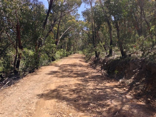
Photos of Berringa


Berringa Weather

Forecast: Broken clouds
Temperature: 13.4°
Humidity: 89%
Current time: 09:17 AM
Sunrise: 07:14 AM
Sunset: 07:58 PM


