
Distance between  Breamlea and
  Brimpaen
147.56 mi Straight Distance
185.38 mi Driving Distance
4 hours 3 mins Estimated Driving Time
The straight distance between Breamlea (Victoria) and Brimpaen (Victoria) is 147.56 mi, but the driving distance is 185.38 mi.
It takes 4 hours 3 mins to go from Breamlea to Brimpaen.
Driving directions from Breamlea to Brimpaen
Distance in kilometers
Straight distance: 237.42 km. Route distance: 298.28 km
Breamlea, Australia
Latitude: -38.2922 // Longitude: 144.399
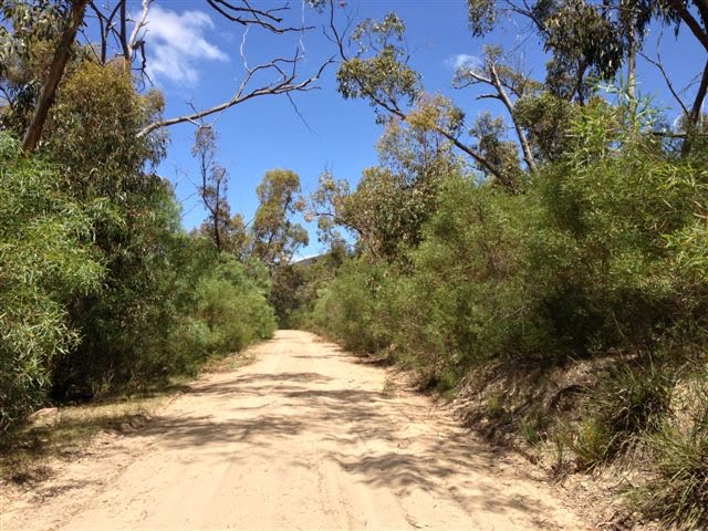
Photos of Breamlea

")


Breamlea Weather

Forecast: Broken clouds
Temperature: 15.9°
Humidity: 71%
Current time: 03:08 AM
Sunrise: 07:15 AM
Sunset: 07:48 PM
Brimpaen, Australia
Latitude: -37.036 // Longitude: 142.217
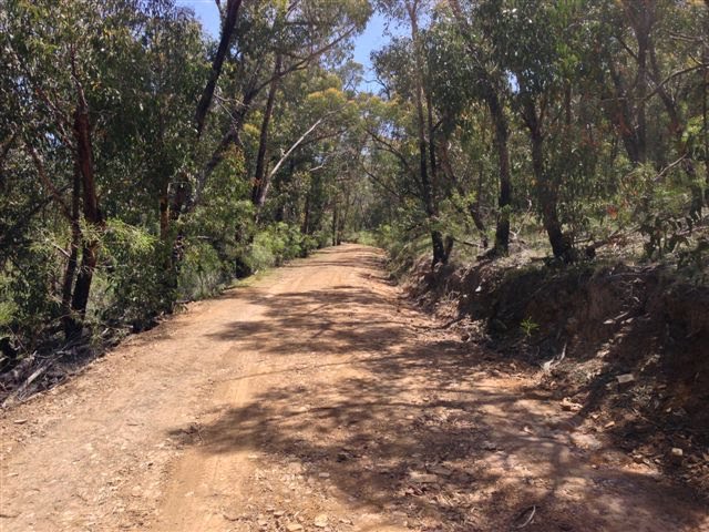
Photos of Brimpaen


Brimpaen Weather

Forecast: Clear sky
Temperature: 14.1°
Humidity: 63%
Sun info not available


