
Distance between  Brandum and
  Samaria
349.32 mi Straight Distance
519.96 mi Driving Distance
14 hours 2 mins Estimated Driving Time
The straight distance between Brandum (Tasmania) and Samaria (Victoria) is 349.32 mi, but the driving distance is 519.96 mi.
It takes 14 hours 2 mins to go from Brandum to Samaria.
Driving directions from Brandum to Samaria
Distance in kilometers
Straight distance: 562.06 km. Route distance: 836.61 km
Brandum, Australia
Latitude: -41.8269 // Longitude: 146.674
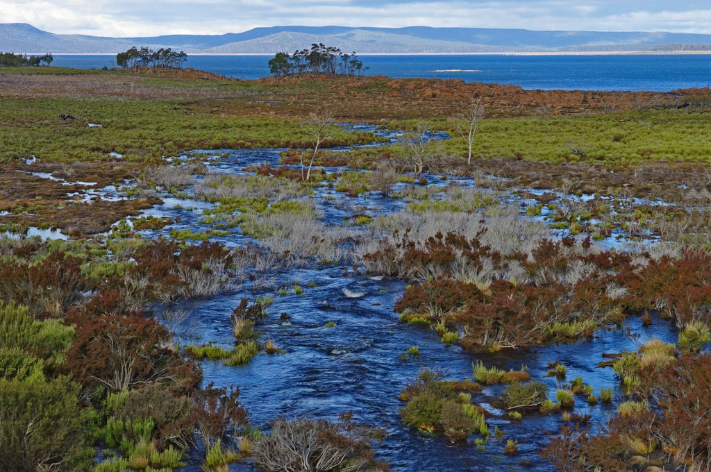
Photos of Brandum


Brandum Weather

Forecast: Overcast clouds
Temperature: 9.4°
Humidity: 84%
Sun info not available
Samaria, Australia
Latitude: -36.7924 // Longitude: 146.074
Photos of Samaria


Samaria Weather

Forecast: Clear sky
Temperature: 12.3°
Humidity: 67%
Sun info not available


