
Distance between  Braefield and
  Mundrabilla
1,319.09 mi Straight Distance
1,514.93 mi Driving Distance
1 day 4 hours Estimated Driving Time
The straight distance between Braefield (New South Wales) and Mundrabilla (Western Australia) is 1,319.09 mi, but the driving distance is 1,514.93 mi.
It takes 1 day 4 hours to go from Braefield to Mundrabilla.
Driving directions from Braefield to Mundrabilla
Distance in kilometers
Straight distance: 2,122.42 km. Route distance: 2,437.52 km
Braefield, Australia
Latitude: -31.5696 // Longitude: 150.701
Photos of Braefield


Braefield Weather

Forecast: Scattered clouds
Temperature: 19.5°
Humidity: 87%
Current time: 11:49 AM
Sunrise: 06:49 AM
Sunset: 07:26 PM
Mundrabilla, Australia
Latitude: -31.8184 // Longitude: 128.225
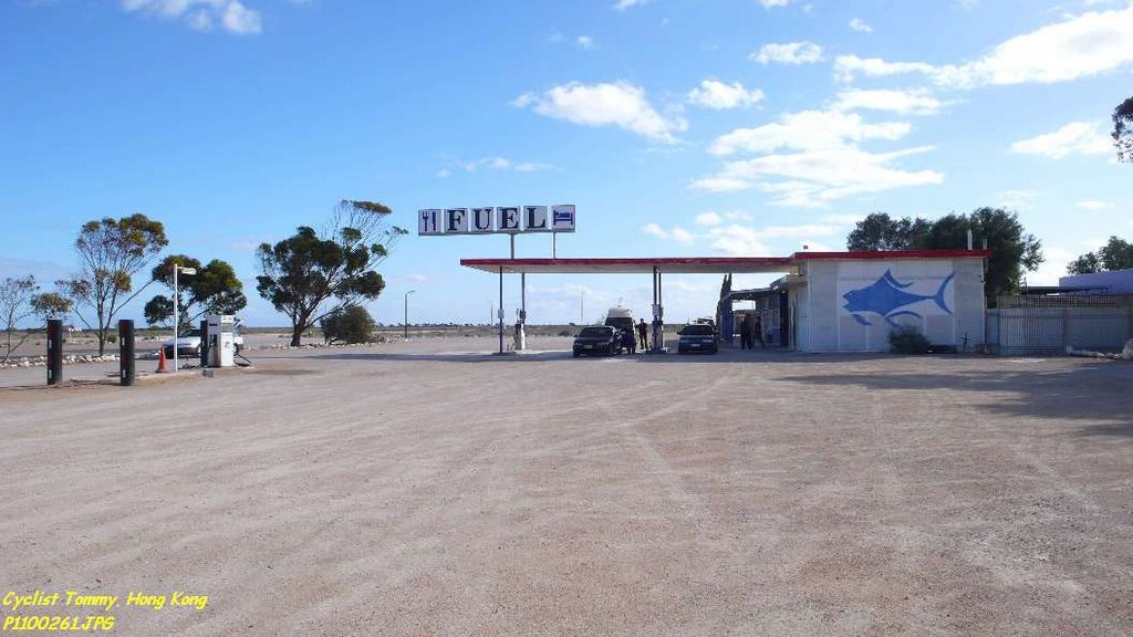
Photos of Mundrabilla


Mundrabilla Weather

Forecast: Overcast clouds
Temperature: 18.0°
Humidity: 80%
Sun info not available


