
Distance between  Boola and
  Wudinna
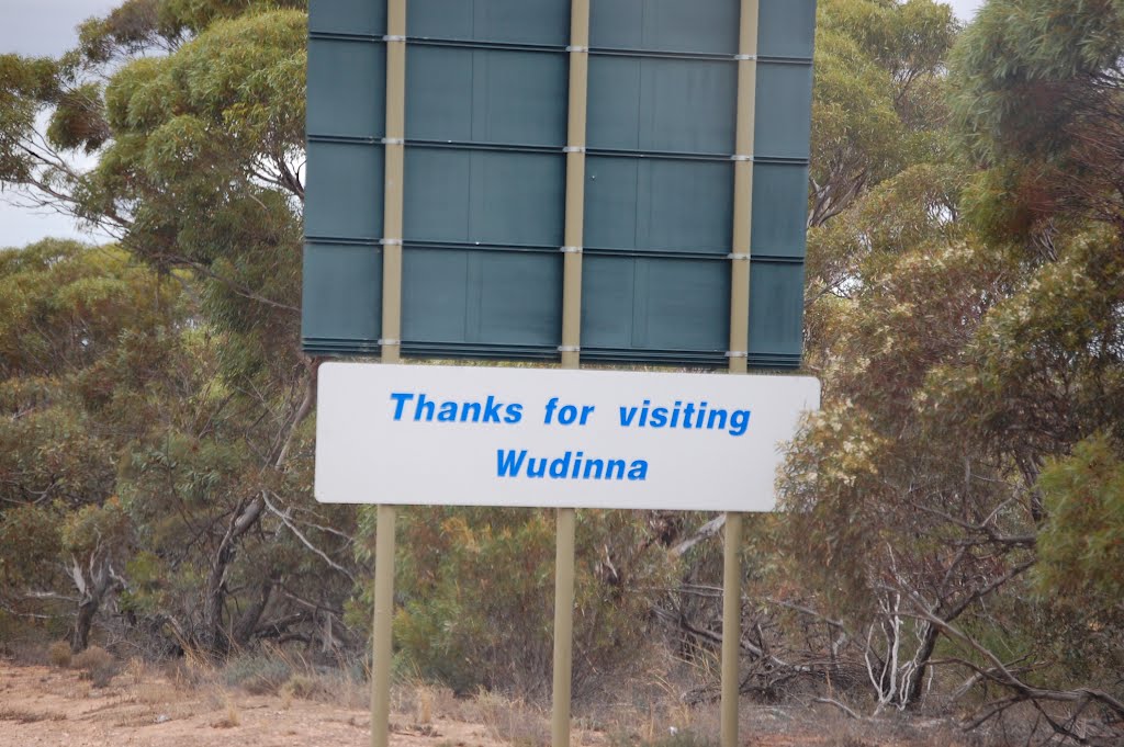
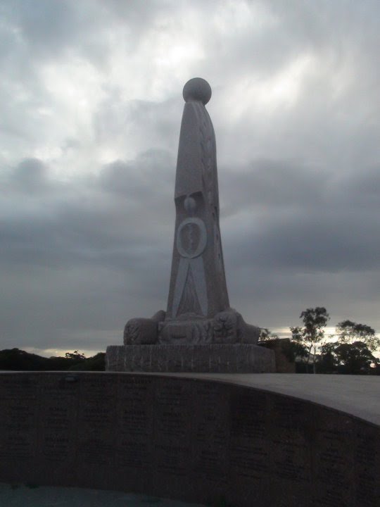
707.32 mi Straight Distance
914.01 mi Driving Distance
18 hours 18 mins Estimated Driving Time
The straight distance between Boola (Victoria) and Wudinna (South Australia) is 707.32 mi, but the driving distance is 914.01 mi.
It takes 18 hours 18 mins to go from Boola to Wudinna.
Driving directions from Boola to Wudinna
Distance in kilometers
Straight distance: 1,138.07 km. Route distance: 1,470.64 km
Boola, Australia
Latitude: -38.023 // Longitude: 146.468
Photos of Boola


Boola Weather

Forecast: Few clouds
Temperature: 13.9°
Humidity: 91%
Sun info not available
Wudinna, Australia
Latitude: -33.0465 // Longitude: 135.46
Photos of Wudinna


Wudinna Weather

Forecast: Clear sky
Temperature: 17.1°
Humidity: 55%
Current time: 08:43 AM
Sunrise: 07:22 AM
Sunset: 07:54 PM


