
Distance between  Bong Bong and
  Mapoon
1,649.59 mi Straight Distance
2,100.04 mi Driving Distance
2 days 0 hours Estimated Driving Time
The straight distance between Bong Bong (New South Wales) and Mapoon (Queensland) is 1,649.59 mi, but the driving distance is 2,100.04 mi.
It takes 2 days 0 hours to go from Bong Bong to Mapoon.
Driving directions from Bong Bong to Mapoon
Distance in kilometers
Straight distance: 2,654.19 km. Route distance: 3,378.96 km
Bong Bong, Australia
Latitude: -34.4941 // Longitude: 150.76
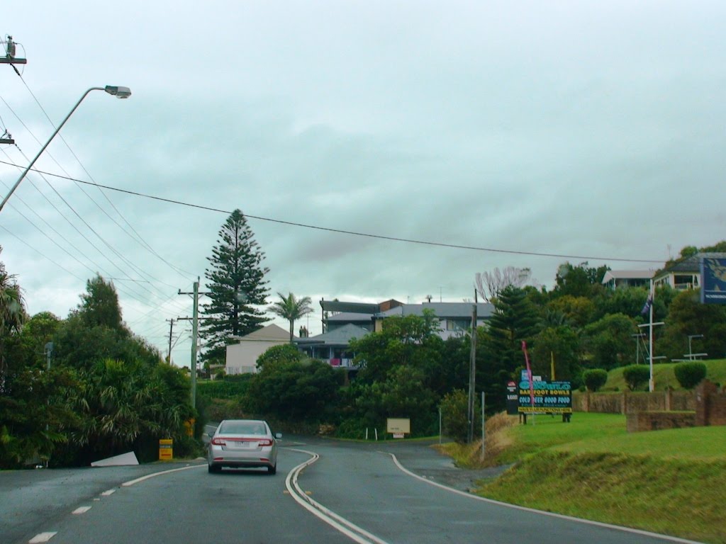
Photos of Bong Bong


Bong Bong Weather

Forecast: Overcast clouds
Temperature: 21.6°
Humidity: 96%
Current time: 11:22 AM
Sunrise: 06:47 AM
Sunset: 07:28 PM
Mapoon, Australia
Latitude: -12.0191 // Longitude: 141.902
Photos of Mapoon


Mapoon Weather
Forecast: Overcast clouds
Temperature: 28.1°
Humidity: 81%
Sun info not available


