
Distance between  Birchip and
  Noorinbee
362.06 mi Straight Distance
474.40 mi Driving Distance
9 hours 53 mins Estimated Driving Time
The straight distance between Birchip (Victoria) and Noorinbee (Victoria) is 362.06 mi, but the driving distance is 474.40 mi.
It takes 9 hours 53 mins to go from Birchip to Noorinbee.
Driving directions from Birchip to Noorinbee
Distance in kilometers
Straight distance: 582.56 km. Route distance: 763.31 km
Birchip, Australia
Latitude: -35.9807 // Longitude: 142.917
Photos of Birchip


Birchip Weather

Forecast: Clear sky
Temperature: 19.7°
Humidity: 38%
Current time: 08:10 PM
Sunrise: 07:22 AM
Sunset: 07:53 PM
Noorinbee, Australia
Latitude: -37.5086 // Longitude: 149.174
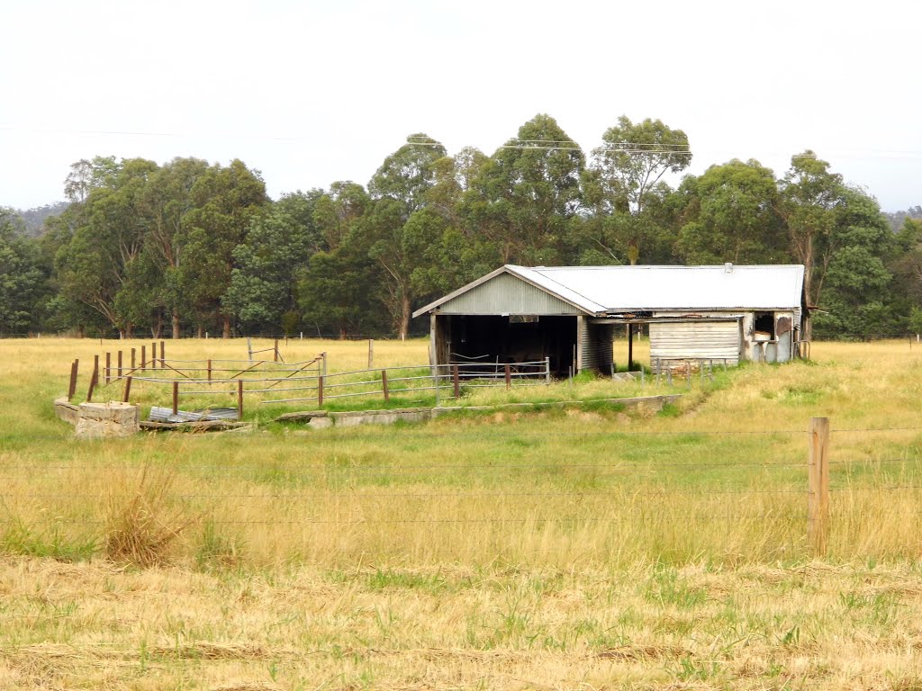
Photos of Noorinbee

![Noorinbee Historic School [2012] the building has a frame of "Pit-sawn box timber" covered with "Hand hewn box pickets" and hand made nails were used. It features a tin chimney and an "odd number of 3 air vents"](/photos/84656707.jpg "Noorinbee Historic School [2012] the building has a frame of \"Pit-sawn box timber\" covered with \"Hand hewn box pickets\" and hand made nails were used. It features a tin chimney and an \"odd number of 3 air vents\"")

![Grey Box Reserve [2012]](/photos/84646156.jpg "Grey Box Reserve [2012]")
Noorinbee Weather

Forecast: Overcast clouds
Temperature: 19.7°
Humidity: 41%
Sun info not available


