
Distance between  Binningup and
  Hatherleigh
1,413.79 mi Straight Distance
1,989.84 mi Driving Distance
1 day 13 hours Estimated Driving Time
The straight distance between Binningup (Western Australia) and Hatherleigh (South Australia) is 1,413.79 mi, but the driving distance is 1,989.84 mi.
It takes 1 day 13 hours to go from Binningup to Hatherleigh.
Driving directions from Binningup to Hatherleigh
Distance in kilometers
Straight distance: 2,274.79 km. Route distance: 3,201.66 km
Binningup, Australia
Latitude: -33.15 // Longitude: 115.688
Photos of Binningup


Binningup Weather

Forecast: Few clouds
Temperature: 18.1°
Humidity: 59%
Current time: 07:28 AM
Sunrise: 06:13 AM
Sunset: 06:39 PM
Hatherleigh, Australia
Latitude: -37.4898 // Longitude: 140.274
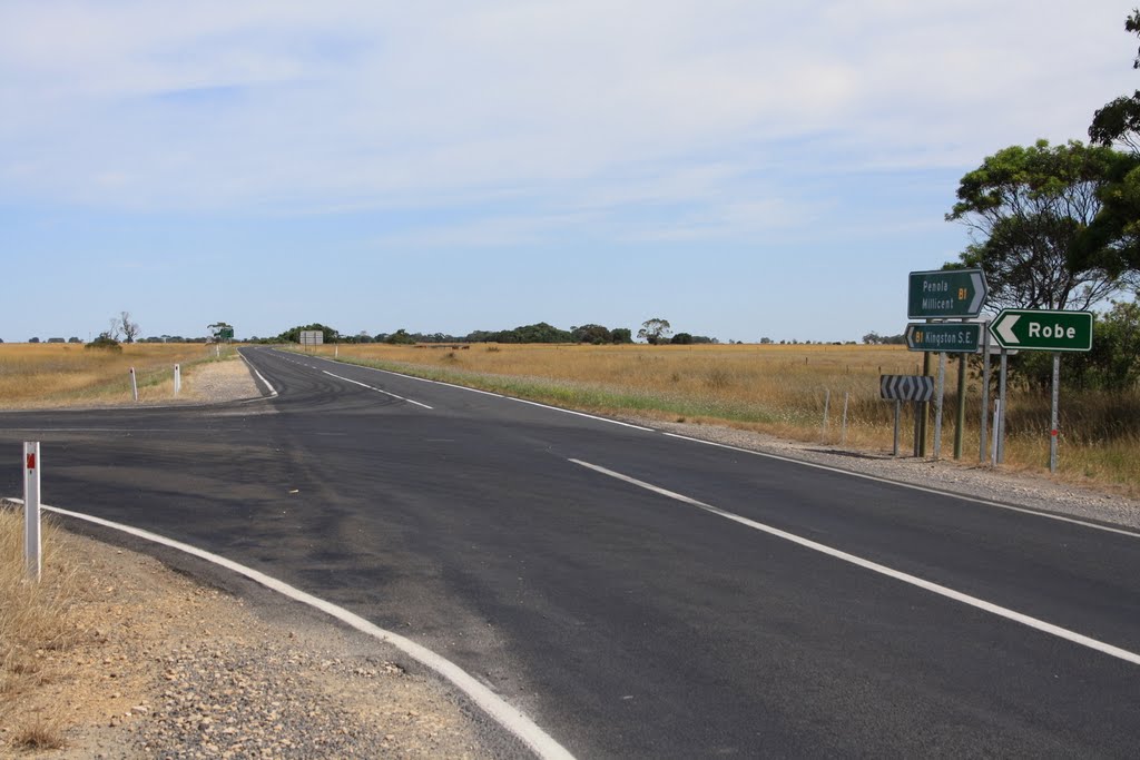
Photos of Hatherleigh


Hatherleigh Weather

Forecast: Overcast clouds
Temperature: 13.3°
Humidity: 58%
Sun info not available


