
Distance between  Belka and
  Templers
1,203.01 mi Straight Distance
1,507.06 mi Driving Distance
1 day 4 hours Estimated Driving Time
The straight distance between Belka (Western Australia) and Templers (South Australia) is 1,203.01 mi, but the driving distance is 1,507.06 mi.
It takes 1 day 1 hour to go from Belka to Templers.
Driving directions from Belka to Templers
Distance in kilometers
Straight distance: 1,935.64 km. Route distance: 2,424.86 km
Belka, Australia
Latitude: -31.7333 // Longitude: 118.183
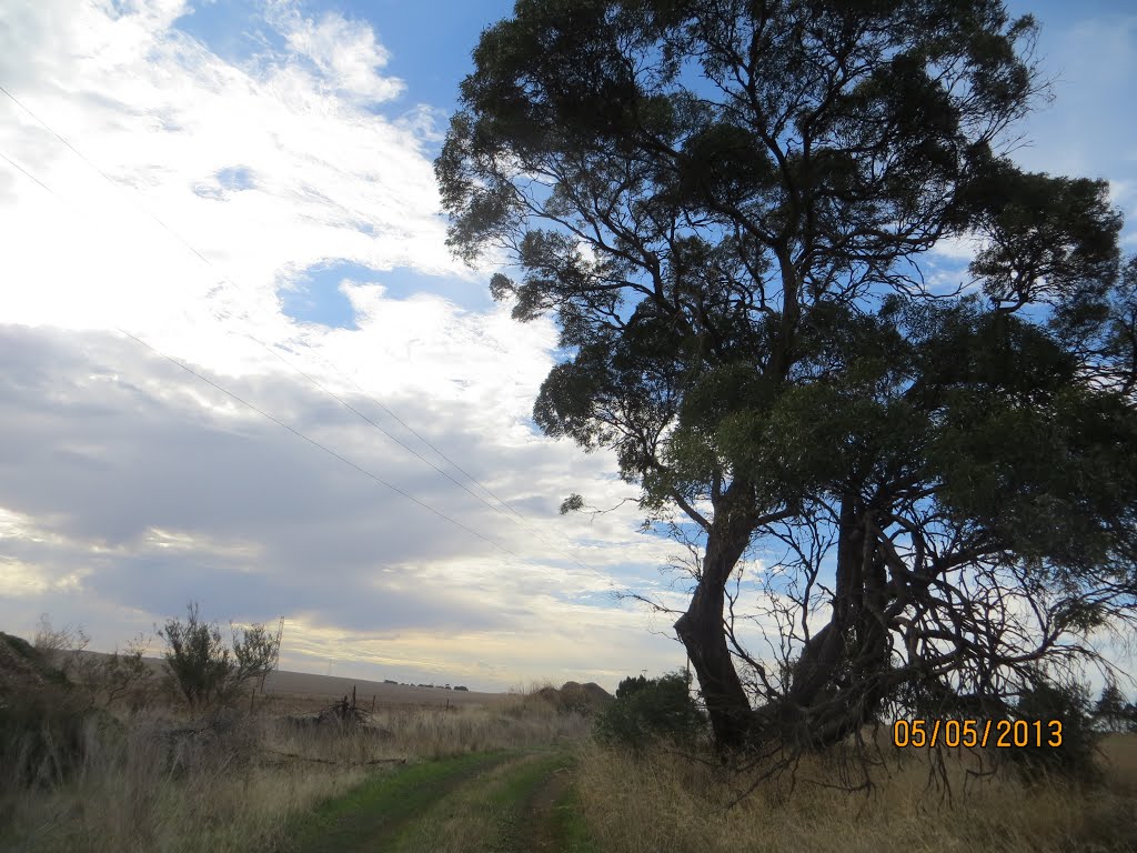
Photos of Belka


Belka Weather

Forecast: Clear sky
Temperature: 31.2°
Humidity: 23%
Current time: 12:00 AM
Sunrise: 09:51 PM
Sunset: 10:49 AM
Templers, Australia
Latitude: -34.4685 // Longitude: 138.747
Photos of Templers


Templers Weather

Forecast: Overcast clouds
Temperature: 25.2°
Humidity: 45%
Current time: 06:22 PM
Sunrise: 06:56 AM
Sunset: 08:00 PM


