
Distance between  Batlow and
  Brimpaen
346.34 mi Straight Distance
441.44 mi Driving Distance
9 hours 0 mins Estimated Driving Time
The straight distance between Batlow (New South Wales) and Brimpaen (Victoria) is 346.34 mi, but the driving distance is 441.44 mi.
It takes 9 hours 0 mins to go from Batlow to Brimpaen.
Driving directions from Batlow to Brimpaen
Distance in kilometers
Straight distance: 557.26 km. Route distance: 710.27 km
Batlow, Australia
Latitude: -35.5197 // Longitude: 148.145
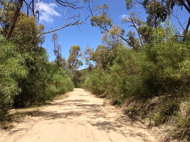
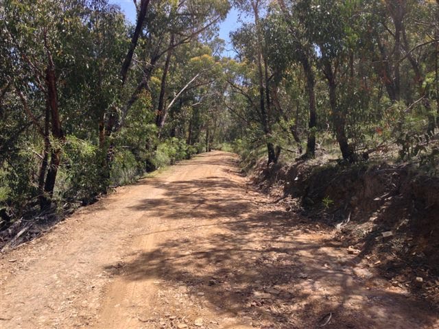
Photos of Batlow


Batlow Weather

Forecast: Clear sky
Temperature: 10.4°
Humidity: 76%
Current time: 03:12 PM
Sunrise: 07:03 AM
Sunset: 07:30 PM
Brimpaen, Australia
Latitude: -37.036 // Longitude: 142.217
Photos of Brimpaen


Brimpaen Weather

Forecast: Few clouds
Temperature: 16.0°
Humidity: 47%
Sun info not available


