
Distance between  Badgebup and
  Krambach
1,988.56 mi Straight Distance
2,413.32 mi Driving Distance
1 day 22 hours Estimated Driving Time
The straight distance between Badgebup (Western Australia) and Krambach (New South Wales) is 1,988.56 mi, but the driving distance is 2,413.32 mi.
It takes 1 day 22 hours to go from Badgebup to Krambach.
Driving directions from Badgebup to Krambach
Distance in kilometers
Straight distance: 3,199.59 km. Route distance: 3,883.03 km
Badgebup, Australia
Latitude: -33.6335 // Longitude: 117.9
Photos of Badgebup


Badgebup Weather

Forecast: Scattered clouds
Temperature: 14.4°
Humidity: 66%
Sun info not available
Krambach, Australia
Latitude: -32.0517 // Longitude: 152.262
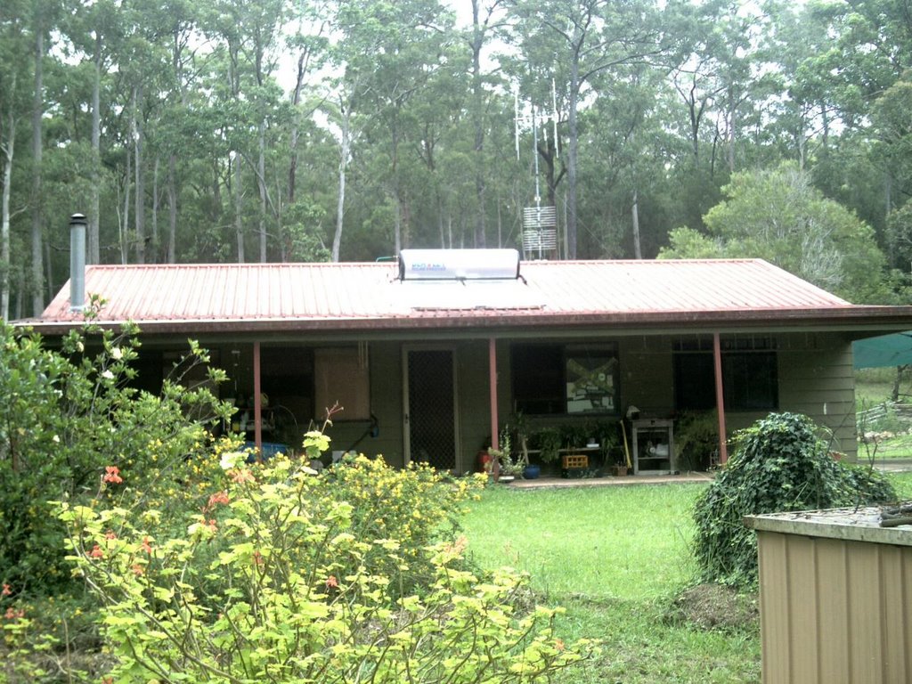
Photos of Krambach


Krambach Weather

Forecast: Clear sky
Temperature: 23.1°
Humidity: 68%
Sun info not available


