
Distance between  Arrowsmith and
  Iron Baron
1,320.53 mi Straight Distance
1,570.55 mi Driving Distance
1 day 6 hours Estimated Driving Time
The straight distance between Arrowsmith (Western Australia) and Iron Baron (South Australia) is 1,320.53 mi, but the driving distance is 1,570.55 mi.
It takes 1 day 6 hours to go from Arrowsmith to Iron Baron.
Driving directions from Arrowsmith to Iron Baron
Distance in kilometers
Straight distance: 2,124.73 km. Route distance: 2,527.02 km
Arrowsmith, Australia
Latitude: -29.5775 // Longitude: 115.119
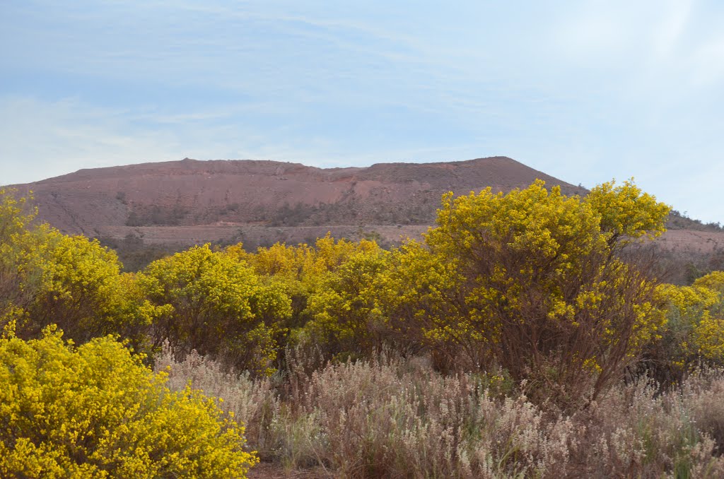
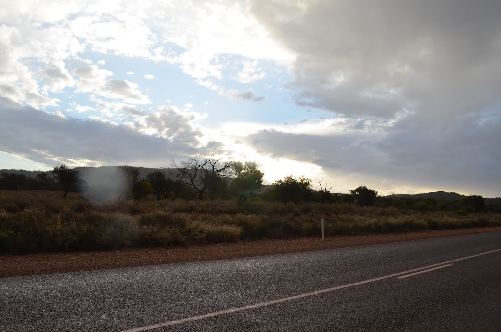
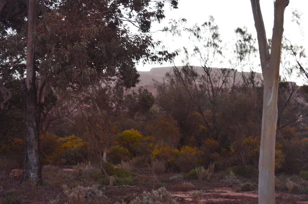
Photos of Arrowsmith
")


")


Arrowsmith Weather

Forecast: Few clouds
Temperature: 24.8°
Humidity: 45%
Sun info not available
Iron Baron, Australia
Latitude: -32.9949 // Longitude: 137.167
Photos of Iron Baron


Iron Baron Weather

Forecast: Clear sky
Temperature: 32.0°
Humidity: 11%
Sun info not available


