
Distance between  Arapiles and
  Cunnamulla
639.09 mi Straight Distance
803.35 mi Driving Distance
16 hours 2 mins Estimated Driving Time
The straight distance between Arapiles (Victoria) and Cunnamulla (Queensland) is 639.09 mi, but the driving distance is 803.35 mi.
It takes 16 hours 2 mins to go from Arapiles to Cunnamulla.
Driving directions from Arapiles to Cunnamulla
Distance in kilometers
Straight distance: 1,028.29 km. Route distance: 1,292.60 km
Arapiles, Australia
Latitude: -36.7371 // Longitude: 141.856
Photos of Arapiles


Arapiles Weather

Forecast: Broken clouds
Temperature: 18.5°
Humidity: 42%
Sun info not available
Cunnamulla, Australia
Latitude: -28.0679 // Longitude: 145.684
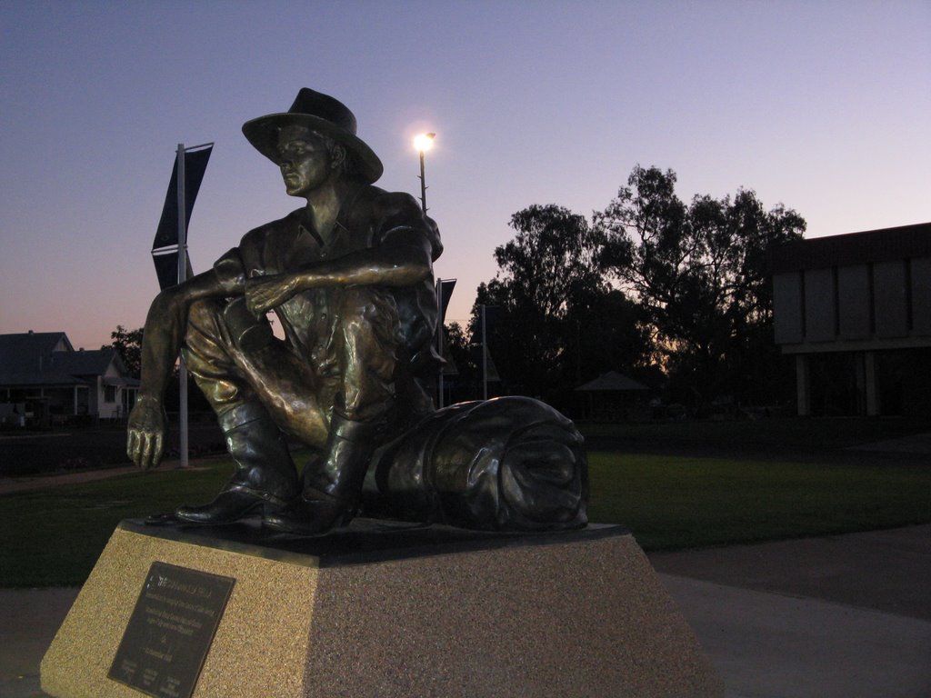
Photos of Cunnamulla


Cunnamulla Weather

Forecast: Few clouds
Temperature: 36.1°
Humidity: 21%
Current time: 04:38 PM
Sunrise: 06:14 AM
Sunset: 06:39 PM


