Distance between  Yuna and
  Stratham
360.85 mi Straight Distance
452.54 mi Driving Distance
7 hours 33 mins Estimated Driving Time
The straight distance between Yuna (Western Australia) and Stratham (Western Australia) is 360.85 mi, but the driving distance is 452.54 mi.
It takes to go from Yuna to Stratham.
Driving directions from Yuna to Stratham
Distance in kilometers
Straight distance: 580.61 km. Route distance: 728.14 km
Yuna, Australia
Latitude: -28.267 // Longitude: 115.066
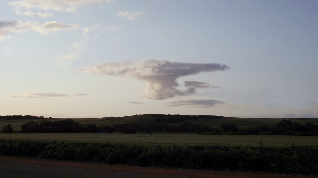
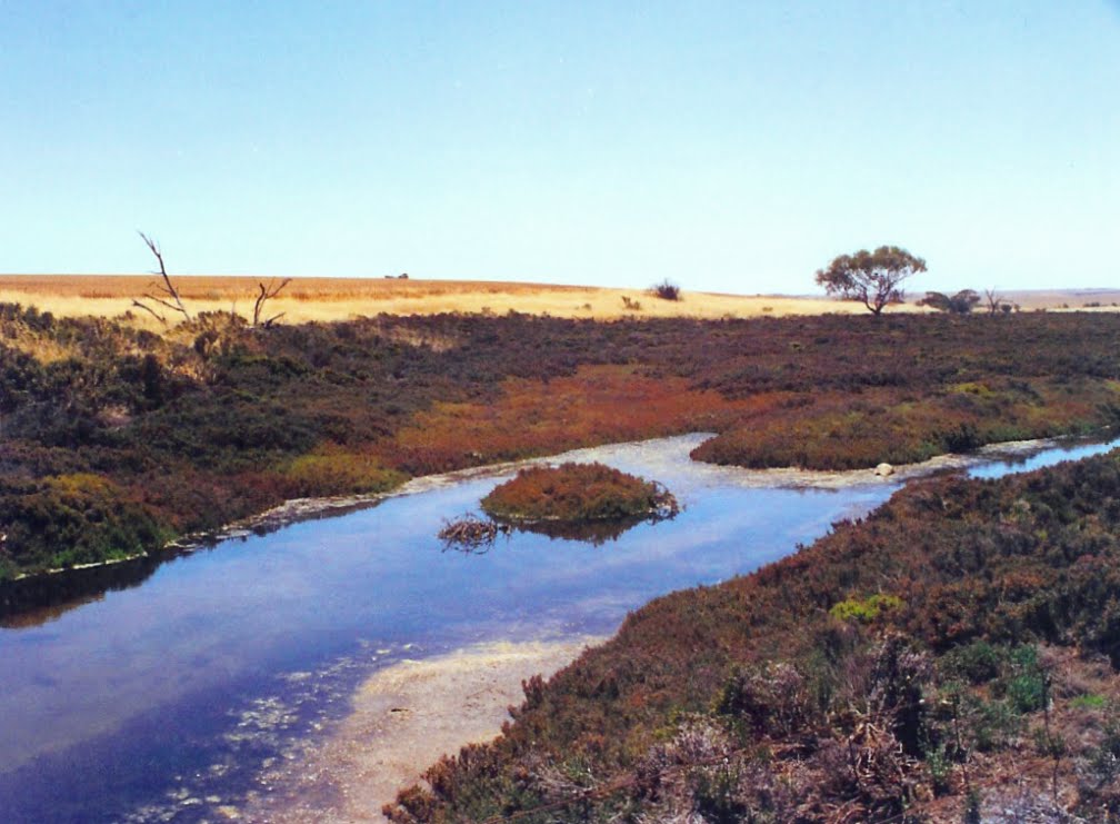
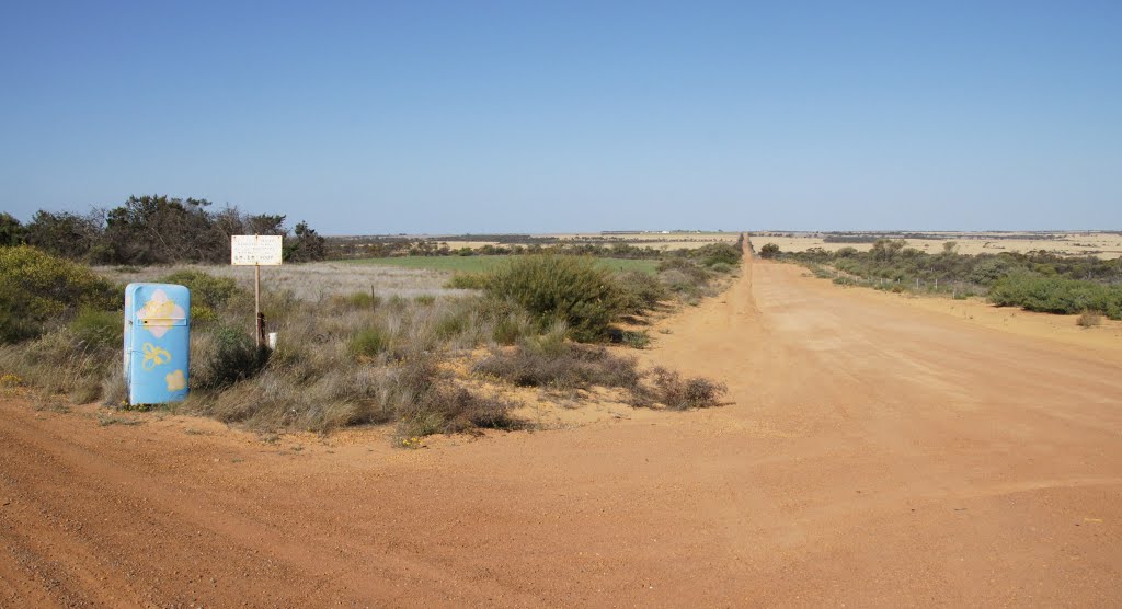
Photos of Yuna
Yuna Weather

Predicción: Clear sky
Temperatura: 23.1°
Humedad: 28%
Hora actual: 12:00 AM
Amanece: 10:39 PM
Anochece: 09:58 AM
Stratham, Australia
Latitude: -33.4701 // Longitude: 115.593
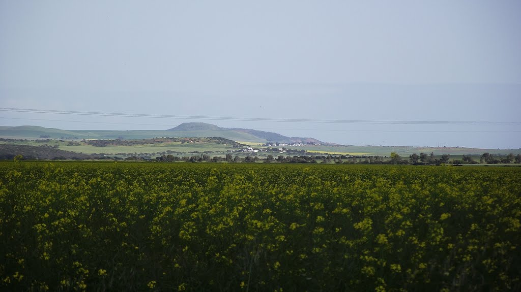
Photos of Stratham
Stratham Weather

Predicción: Clear sky
Temperatura: 19.7°
Humedad: 50%
Hora actual: 10:17 PM
Amanece: 06:42 AM
Anochece: 05:51 PM


