Distance between  Youndegin and
  Israelite Bay
400.75 mi Straight Distance
462.36 mi Driving Distance
8 hours 58 mins Estimated Driving Time
The straight distance between Youndegin (Western Australia) and Israelite Bay (Western Australia) is 400.75 mi, but the driving distance is 462.36 mi.
It takes to go from Youndegin to Israelite Bay.
Driving directions from Youndegin to Israelite Bay
Distance in kilometers
Straight distance: 644.80 km. Route distance: 743.94 km
Youndegin, Australia
Latitude: -31.7994 // Longitude: 117.294
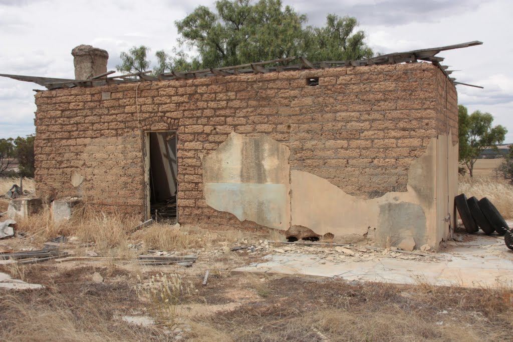
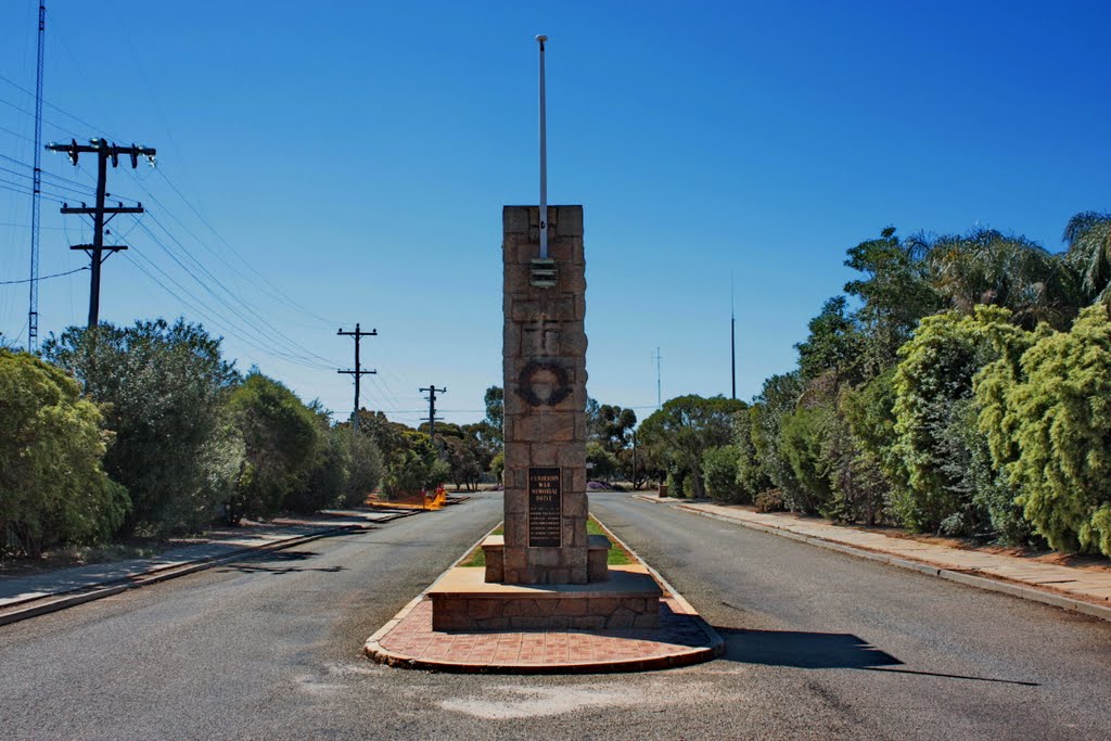
Photos of Youndegin
Youndegin Weather

Predicción: Broken clouds
Temperatura: 23.9°
Humedad: 26%
Hora actual: 12:00 AM
Amanece: 10:34 PM
Anochece: 09:46 AM
Israelite Bay, Australia
Latitude: -33.6186 // Longitude: 123.841
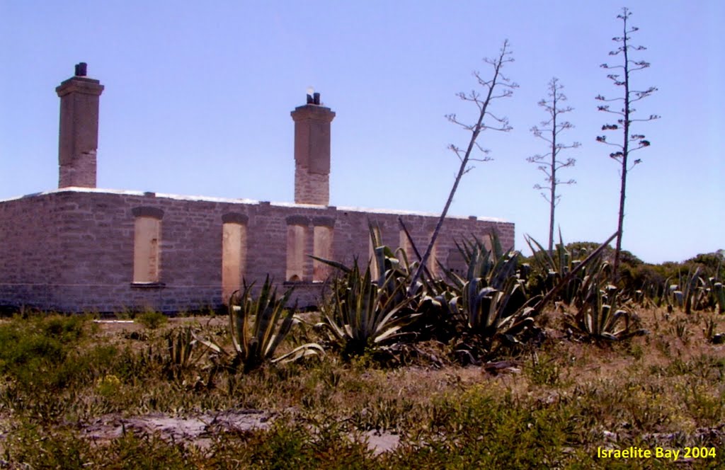
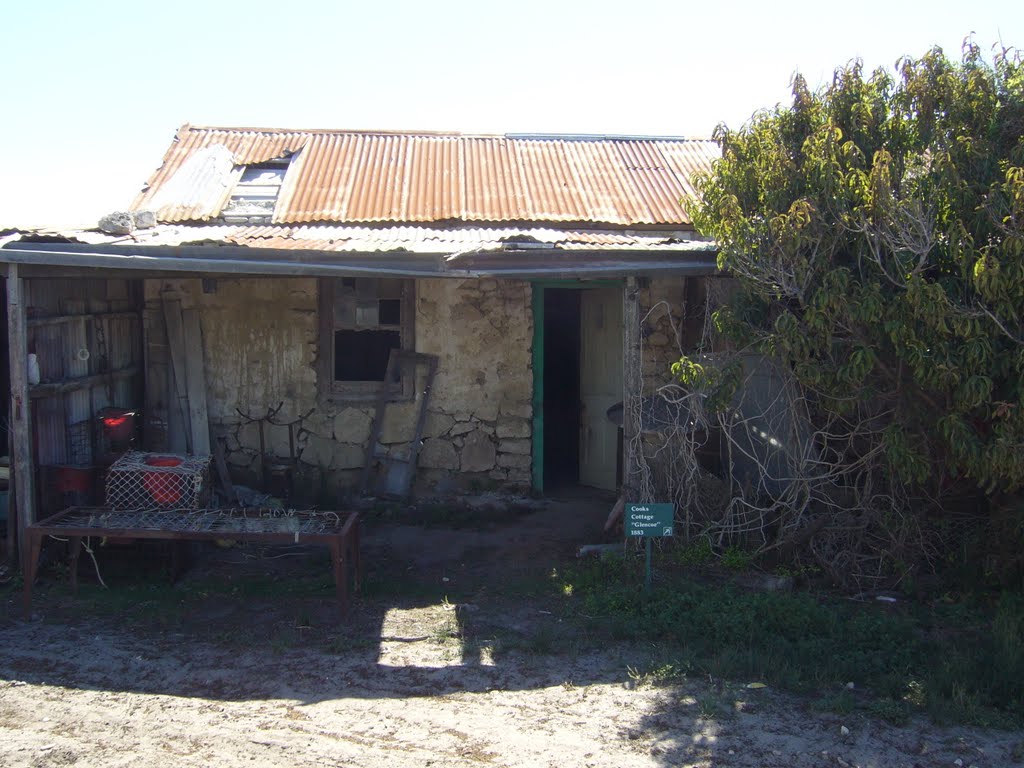
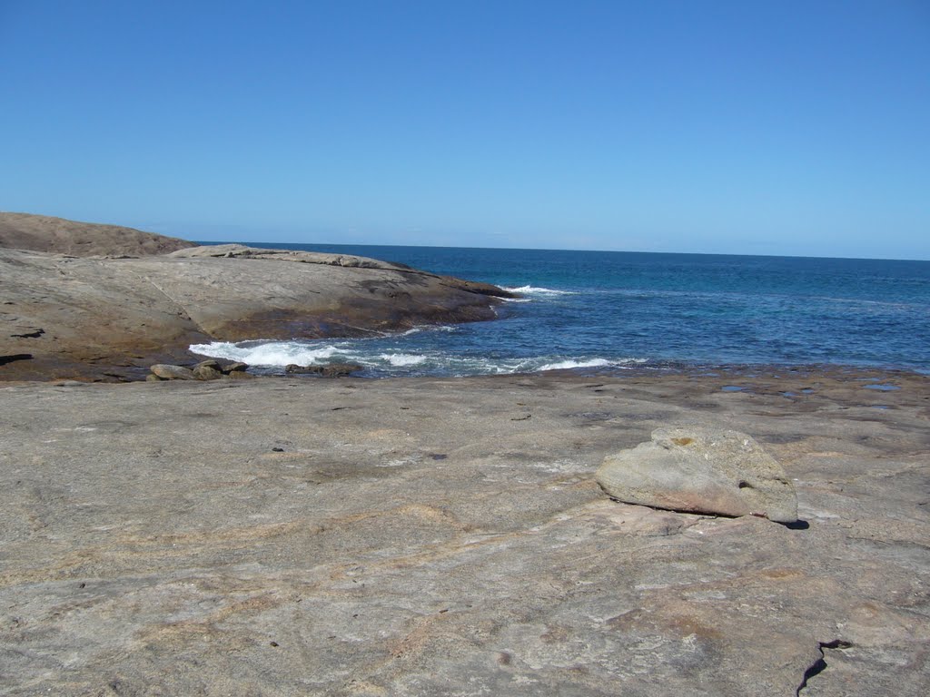
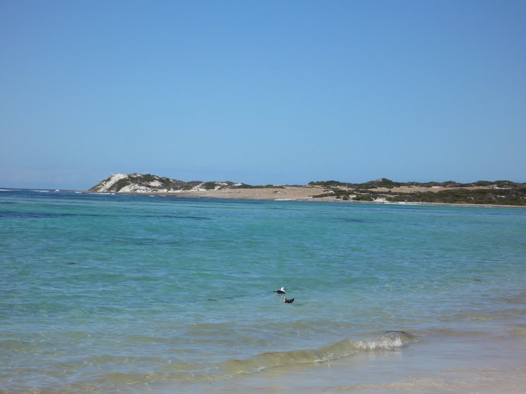
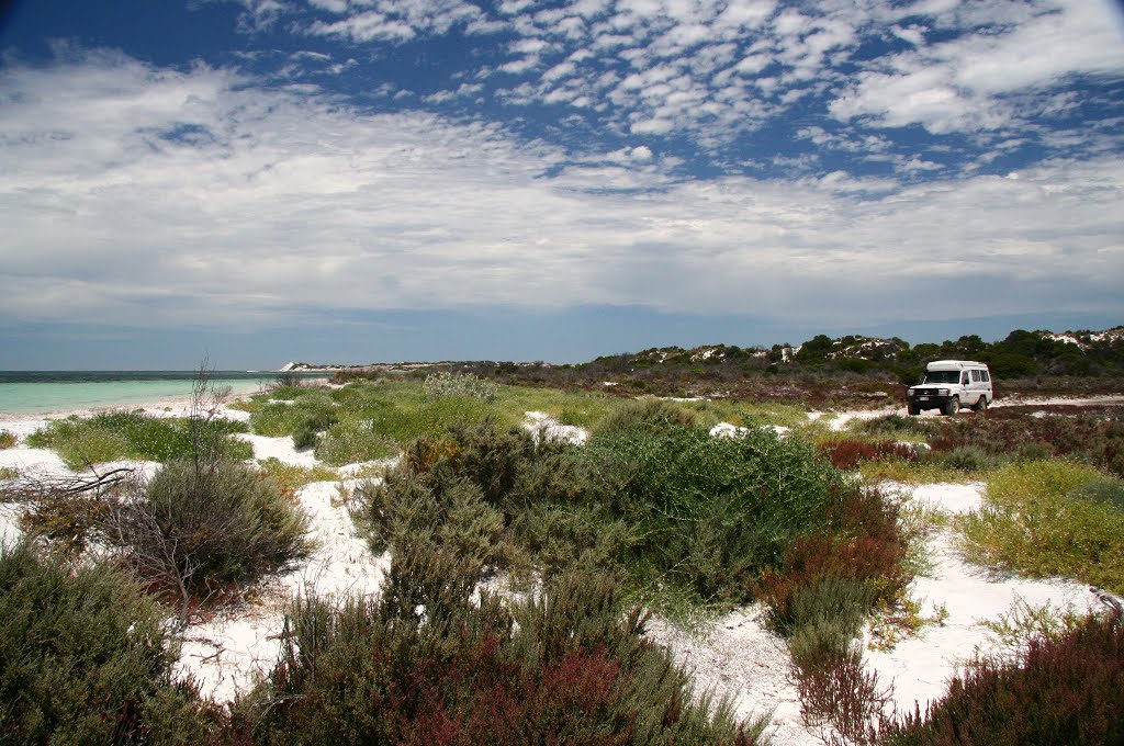
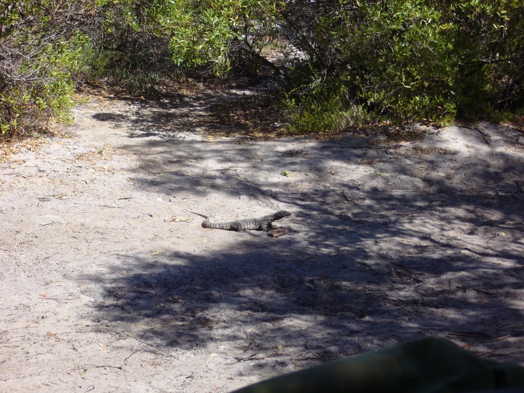
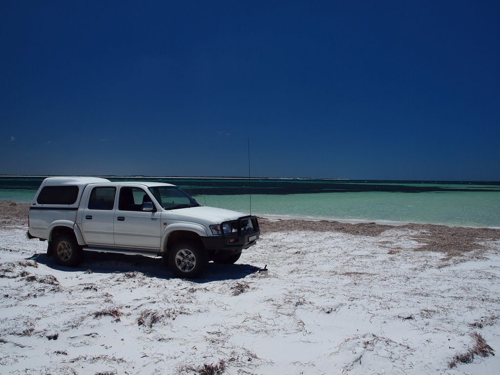
Photos of Israelite Bay
Israelite Bay Weather

Predicción: Scattered clouds
Temperatura: 16.3°
Humedad: 69%
Hora actual: 12:00 AM
Amanece: 10:09 PM
Anochece: 09:17 AM


