Distance between  Yorketown and
  Port Augusta
174.81 mi Straight Distance
207.47 mi Driving Distance
3 hours 16 mins Estimated Driving Time
The straight distance between Yorketown (South Australia) and Port Augusta (South Australia) is 174.81 mi, but the driving distance is 207.47 mi.
It takes 4 hours 0 mins to go from Yorketown to Port Augusta.
Driving directions from Yorketown to Port Augusta
Distance in kilometers
Straight distance: 281.26 km. Route distance: 333.82 km
Yorketown, Australia
Latitude: -35.019 // Longitude: 137.605
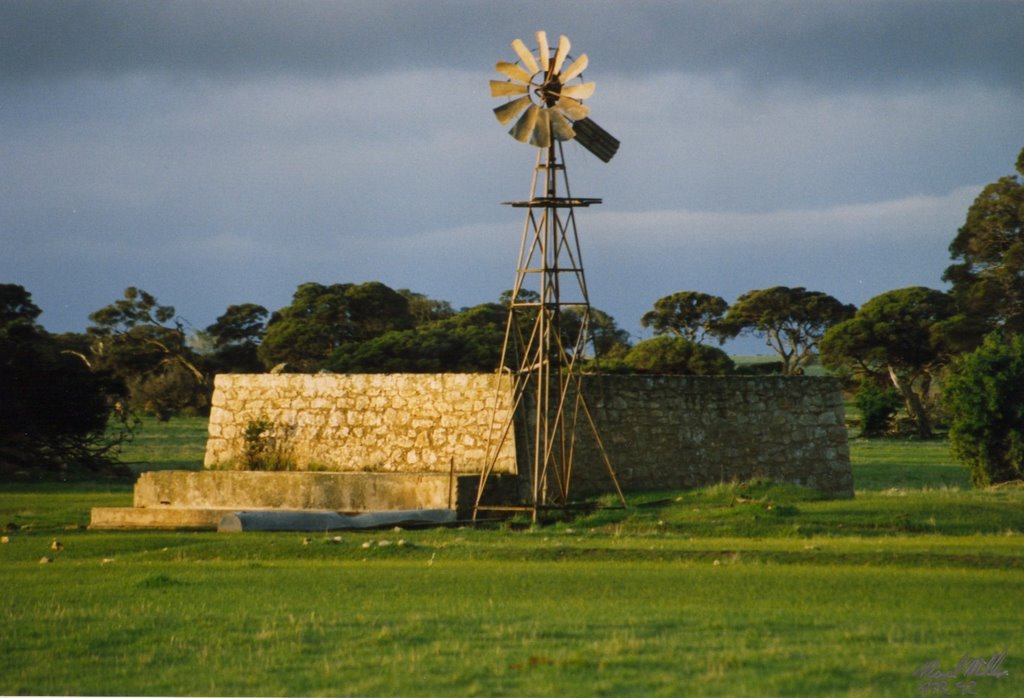
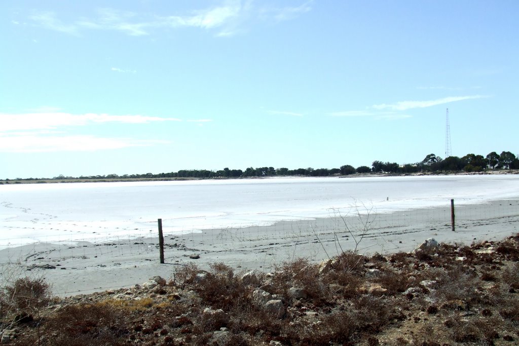
Photos of Yorketown
Yorketown Weather

Predicción: Scattered clouds
Temperatura: 14.6°
Humedad: 82%
Hora actual: 04:01 AM
Amanece: 06:45 AM
Anochece: 05:53 PM
Port Augusta, Australia
Latitude: -32.4924 // Longitude: 137.763
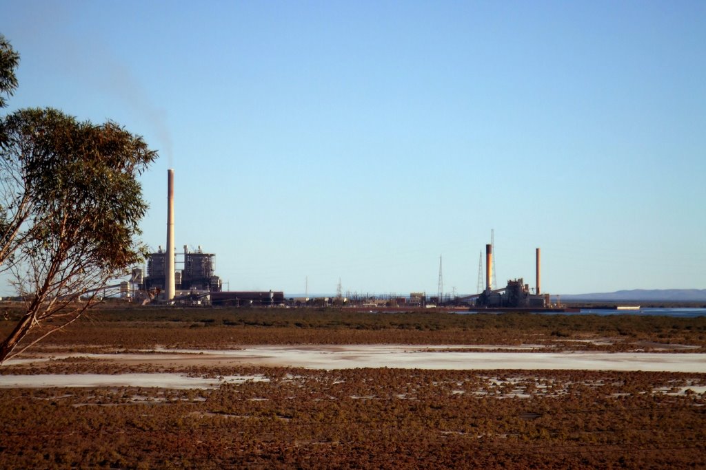
Photos of Port Augusta
Port Augusta Weather

Predicción: Clear sky
Temperatura: 14.7°
Humedad: 76%
Hora actual: 04:01 AM
Amanece: 06:41 AM
Anochece: 05:55 PM


