Distance between  Yelarbon and
  Roadvale
126.27 mi Straight Distance
146.57 mi Driving Distance
2 hours 35 mins Estimated Driving Time
The straight distance between Yelarbon (Queensland) and Roadvale (Queensland) is 126.27 mi, but the driving distance is 146.57 mi.
It takes to go from Yelarbon to Roadvale.
Driving directions from Yelarbon to Roadvale
Distance in kilometers
Straight distance: 203.17 km. Route distance: 235.83 km
Yelarbon, Australia
Latitude: -28.5723 // Longitude: 150.753
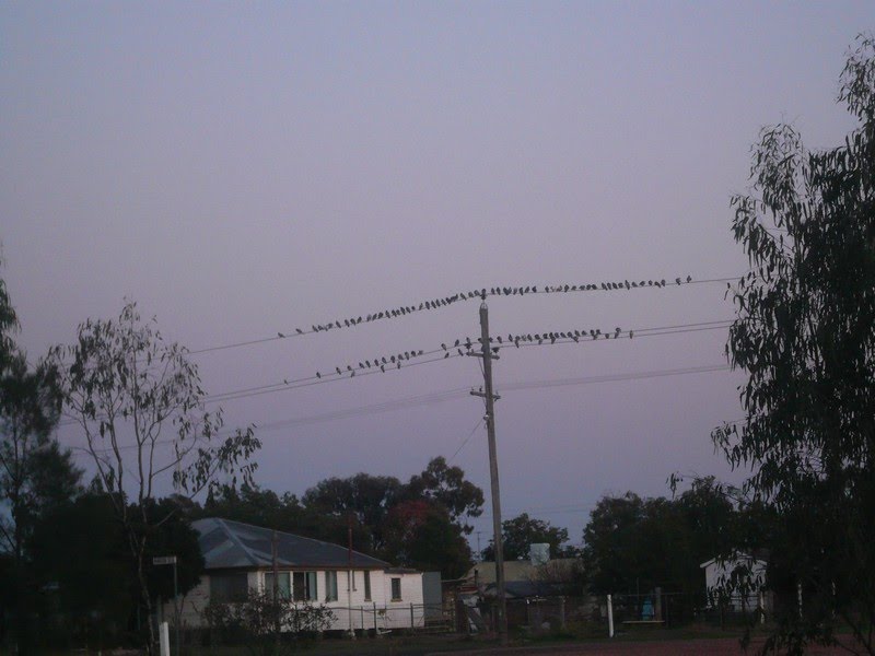
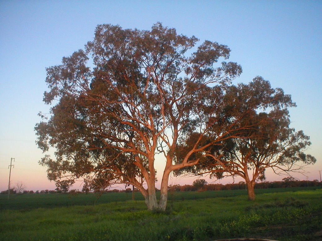
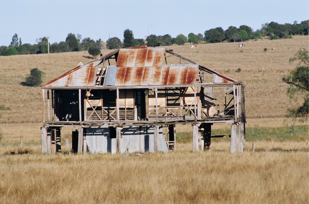
Photos of Yelarbon
Yelarbon Weather

Predicción: Clear sky
Temperatura: 26.9°
Humedad: 43%
Hora actual: 12:00 AM
Amanece: 08:16 PM
Anochece: 07:35 AM
Roadvale, Australia
Latitude: -27.9178 // Longitude: 152.69
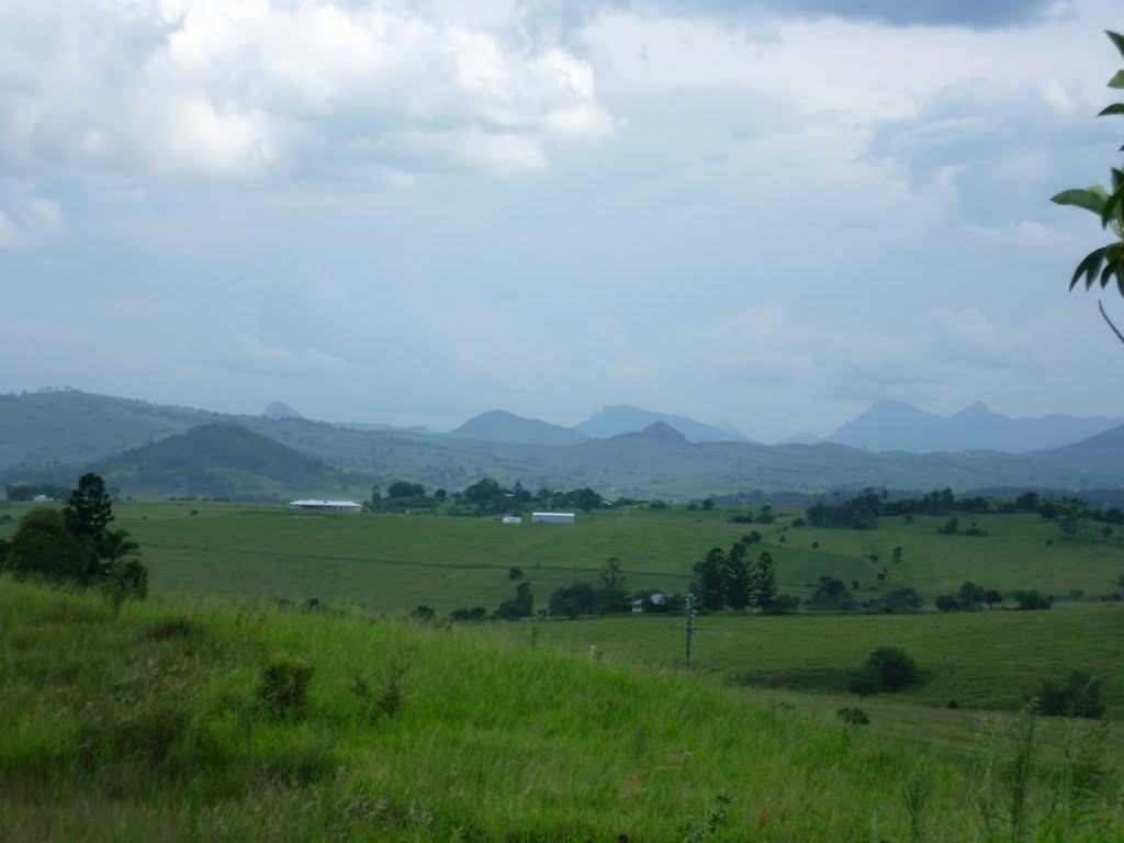
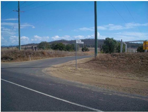
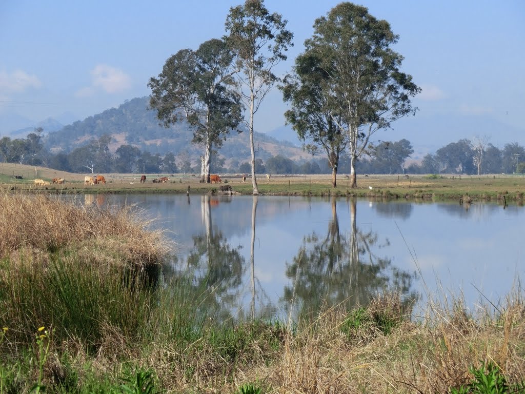
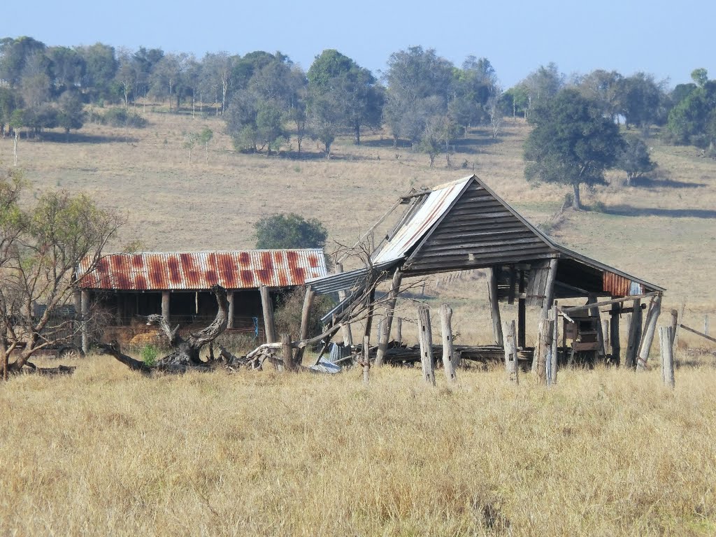
Photos of Roadvale
Roadvale Weather

Predicción: Overcast clouds
Temperatura: 26.0°
Humedad: 52%
Hora actual: 02:16 PM
Amanece: 06:08 AM
Anochece: 05:28 PM


