Distance between  Yarrawonga and
  Murchison
60.27 mi Straight Distance
74.77 mi Driving Distance
1 hour 17 mins Estimated Driving Time
The straight distance between Yarrawonga (Victoria) and Murchison (Victoria) is 60.27 mi, but the driving distance is 74.77 mi.
It takes 1 hour 33 mins to go from Yarrawonga to Murchison.
Driving directions from Yarrawonga to Murchison
Distance in kilometers
Straight distance: 96.97 km. Route distance: 120.30 km
Yarrawonga, Australia
Latitude: -36.0182 // Longitude: 146.003
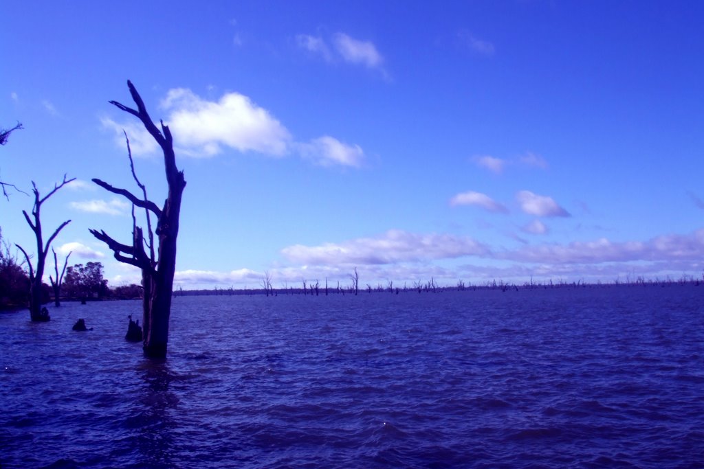
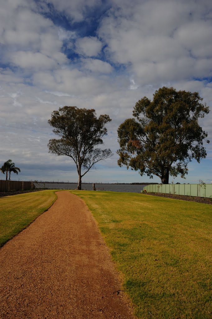
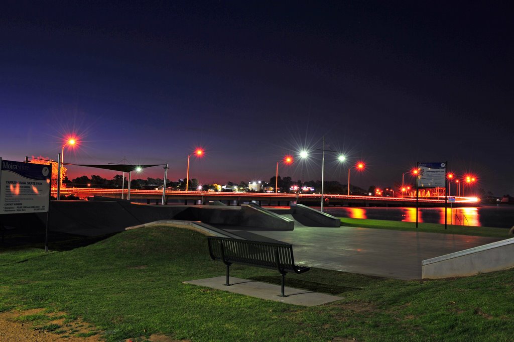
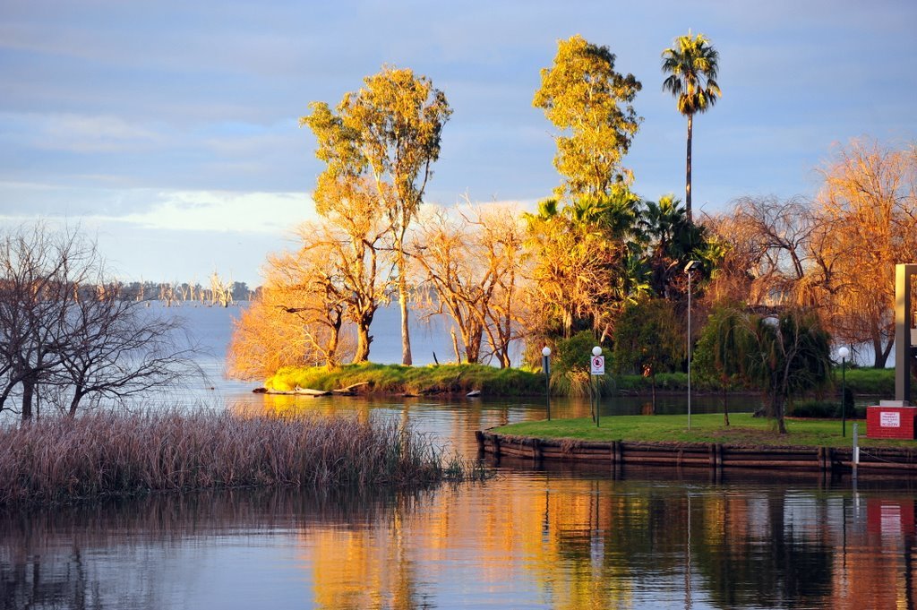
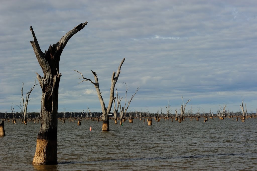
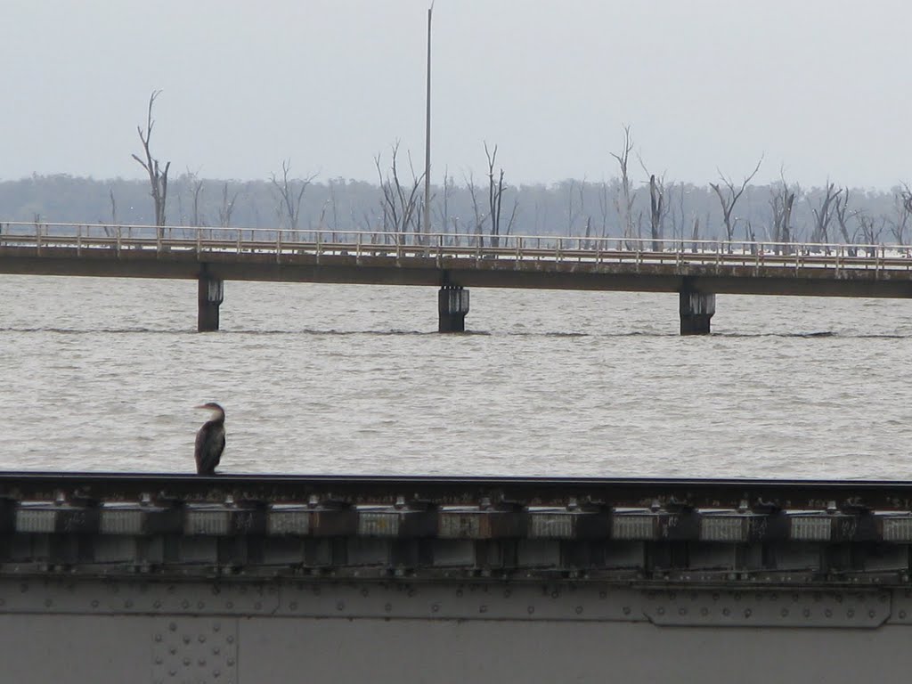
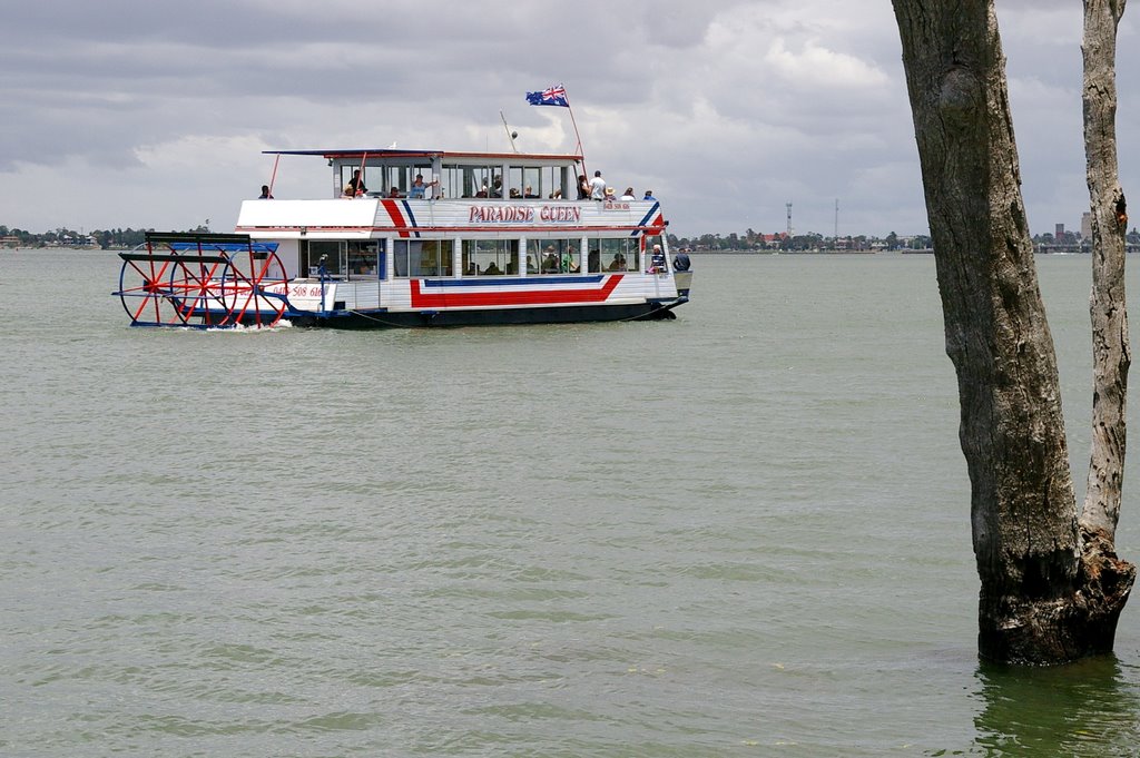
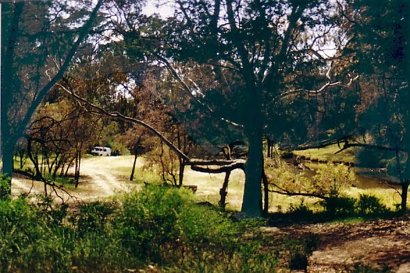
Photos of Yarrawonga
Yarrawonga Weather

Predicción: Clear sky
Temperatura: 15.3°
Humedad: 54%
Hora actual: 10:23 AM
Amanece: 06:43 AM
Anochece: 05:47 PM
Murchison, Australia
Latitude: -36.6189 // Longitude: 145.218
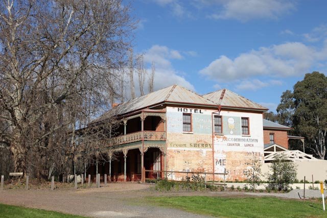
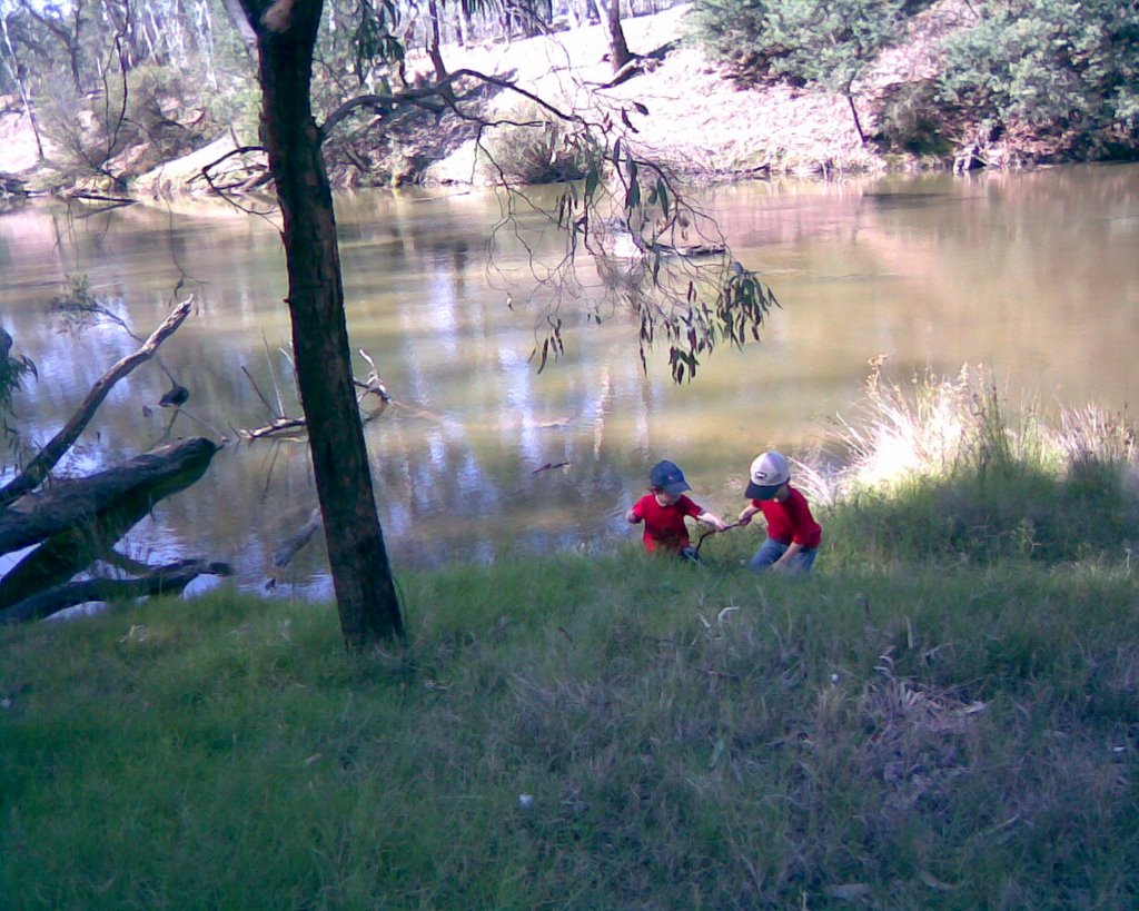
Photos of Murchison
Murchison Weather

Predicción: Few clouds
Temperatura: 15.6°
Humedad: 56%
Hora actual: 10:23 AM
Amanece: 06:47 AM
Anochece: 05:49 PM


