Distance between  Yarra Creek and
  Pearshape
9.47 mi Straight Distance
13.70 mi Driving Distance
13 minutes Estimated Driving Time
The straight distance between Yarra Creek (Tasmania) and Pearshape (Tasmania) is 9.47 mi, but the driving distance is 13.70 mi.
It takes to go from Yarra Creek to Pearshape.
Driving directions from Yarra Creek to Pearshape
Distance in kilometers
Straight distance: 15.24 km. Route distance: 22.05 km
Yarra Creek, Australia
Latitude: -40.009 // Longitude: 144.083
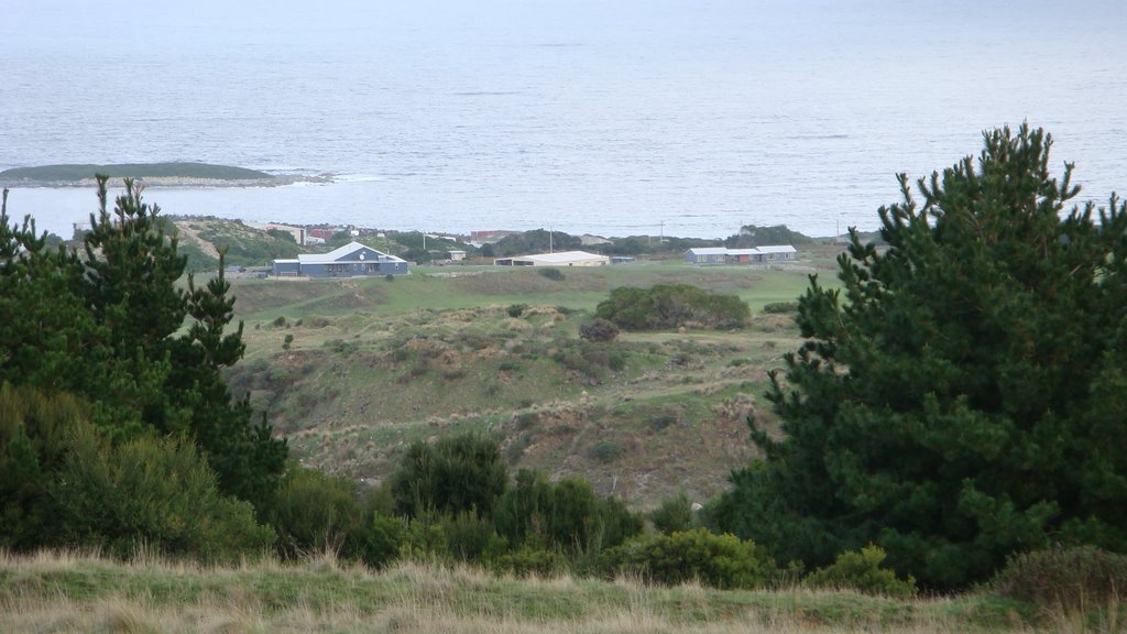
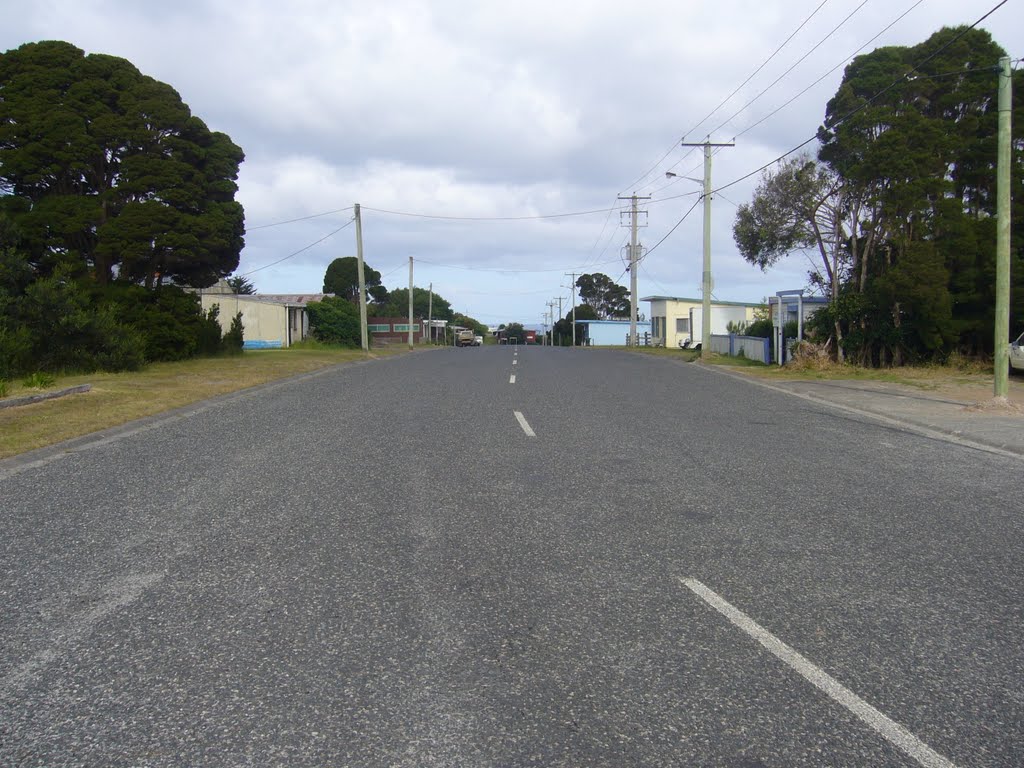
Photos of Yarra Creek
Yarra Creek Weather

Predicción: Overcast clouds
Temperatura: 14.5°
Humedad: 64%
Hora actual: 12:00 AM
Amanece: 08:54 PM
Anochece: 07:52 AM
Pearshape, Australia
Latitude: -40.0604 // Longitude: 143.917
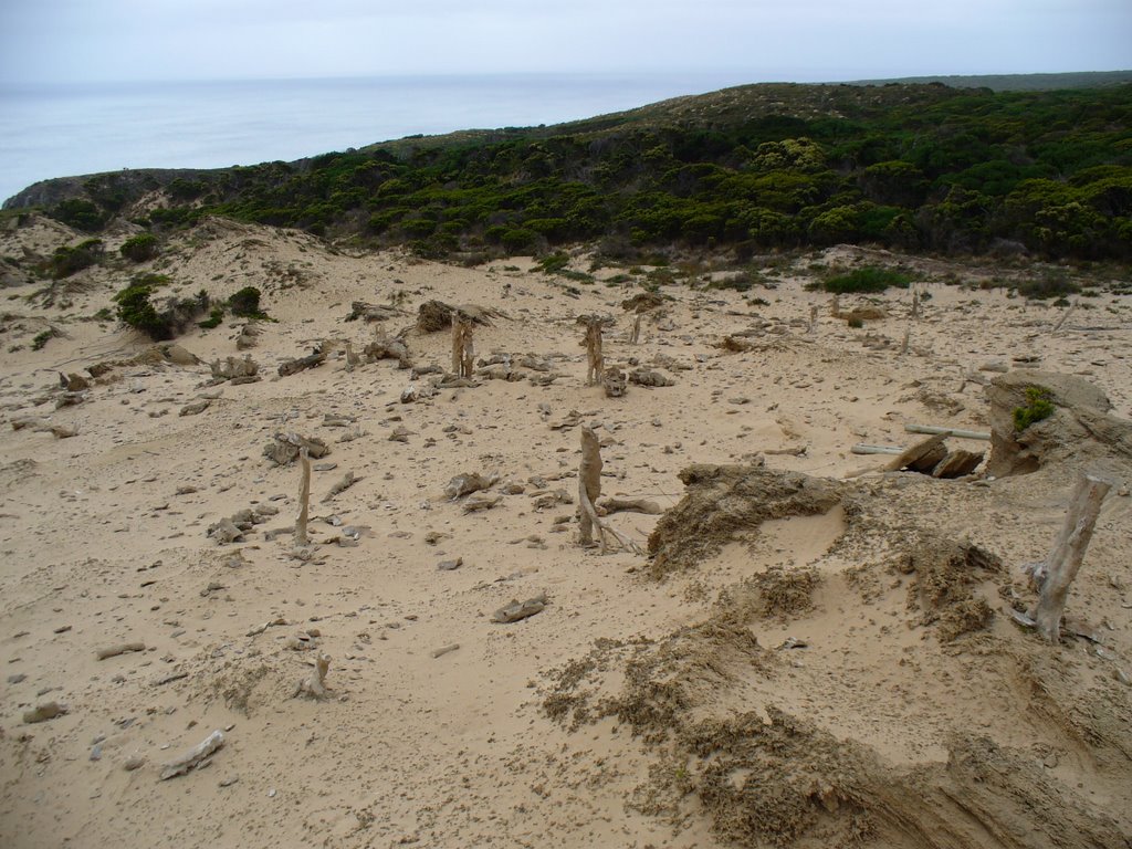
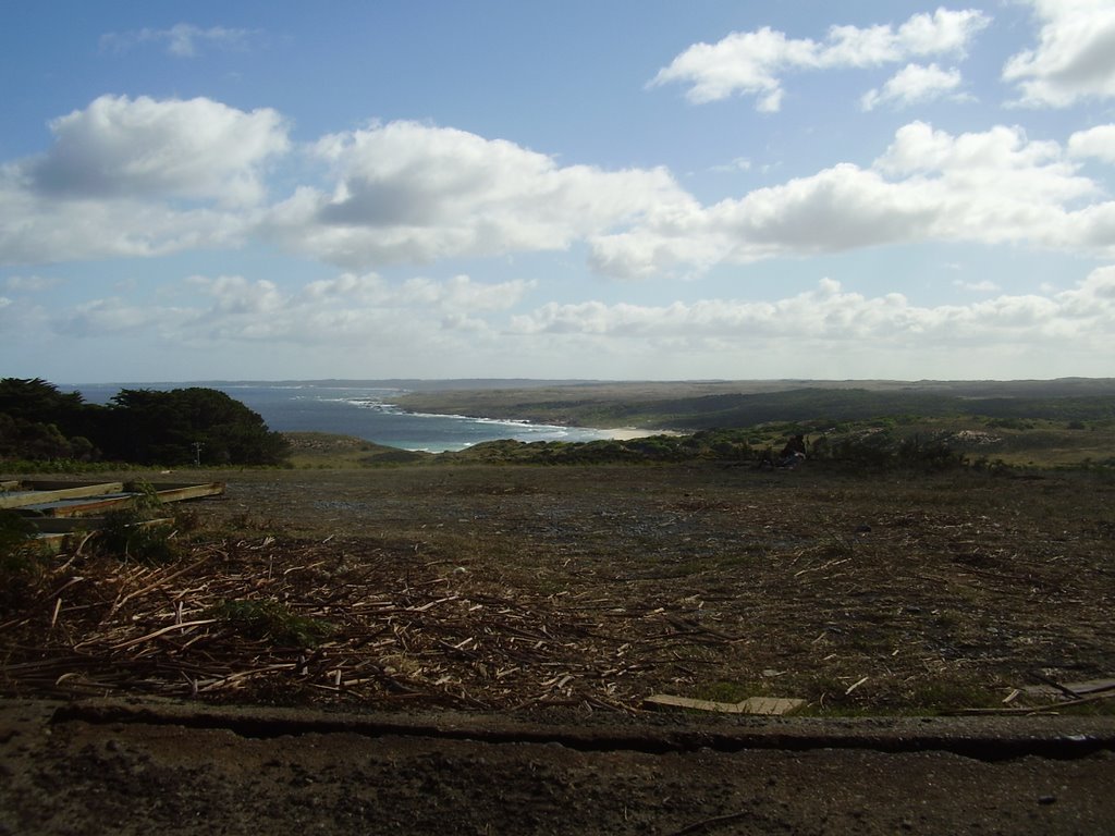
Photos of Pearshape
Pearshape Weather

Predicción: Overcast clouds
Temperatura: 14.5°
Humedad: 64%
Hora actual: 12:00 AM
Amanece: 08:55 PM
Anochece: 07:52 AM


