Distance between  Yankalilla and
  Kingston SE
126.58 mi Straight Distance
228.07 mi Driving Distance
4 hours 2 mins Estimated Driving Time
The straight distance between Yankalilla (South Australia) and Kingston SE (South Australia) is 126.58 mi, but the driving distance is 228.07 mi.
It takes 4 hours 7 mins to go from Yankalilla to Kingston SE.
Driving directions from Yankalilla to Kingston SE
Distance in kilometers
Straight distance: 203.67 km. Route distance: 366.96 km
Yankalilla, Australia
Latitude: -35.4575 // Longitude: 138.35
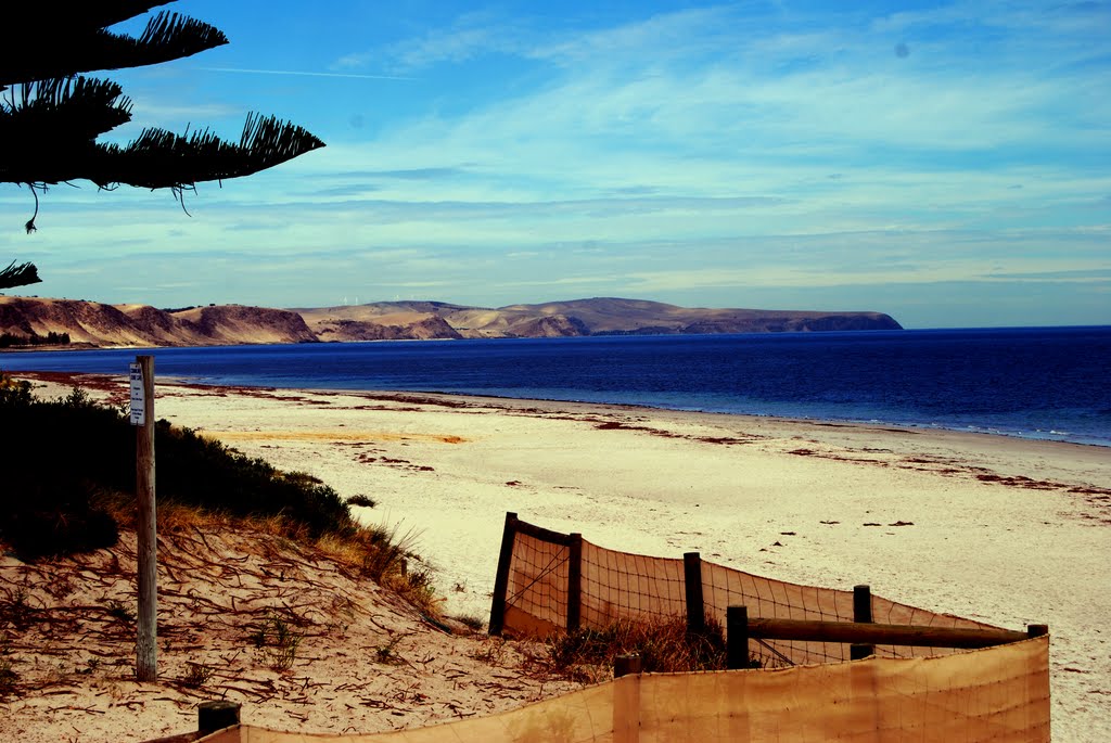
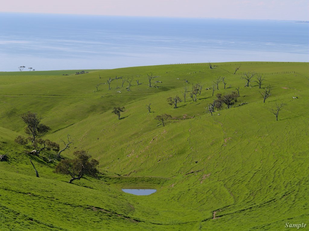
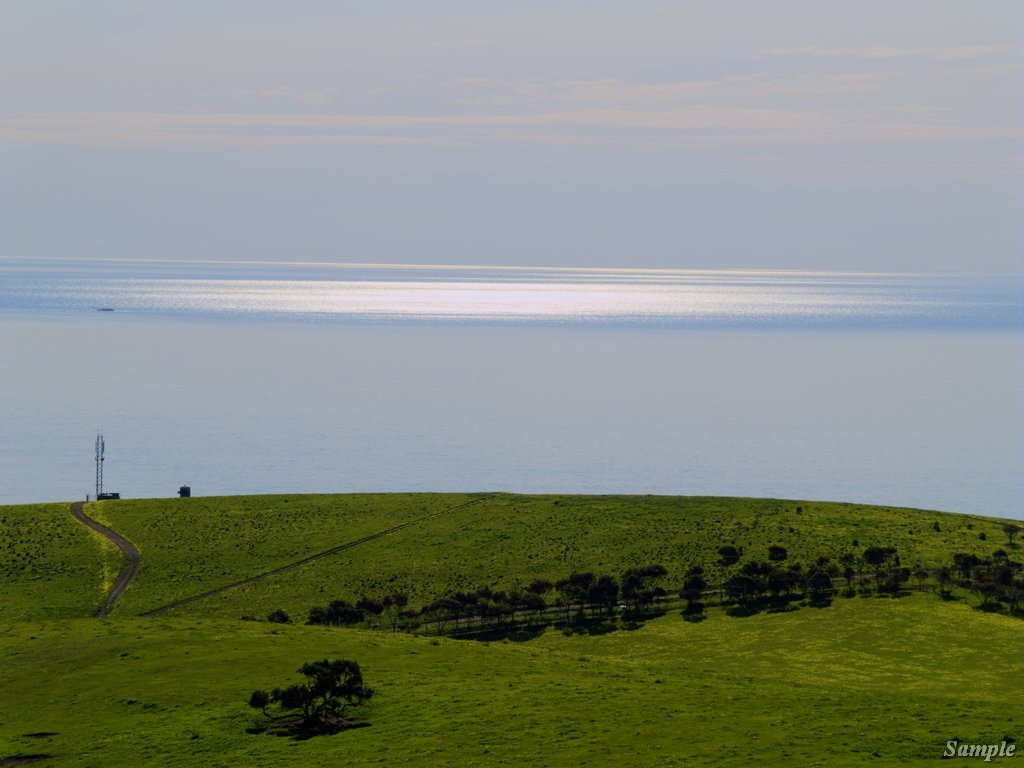
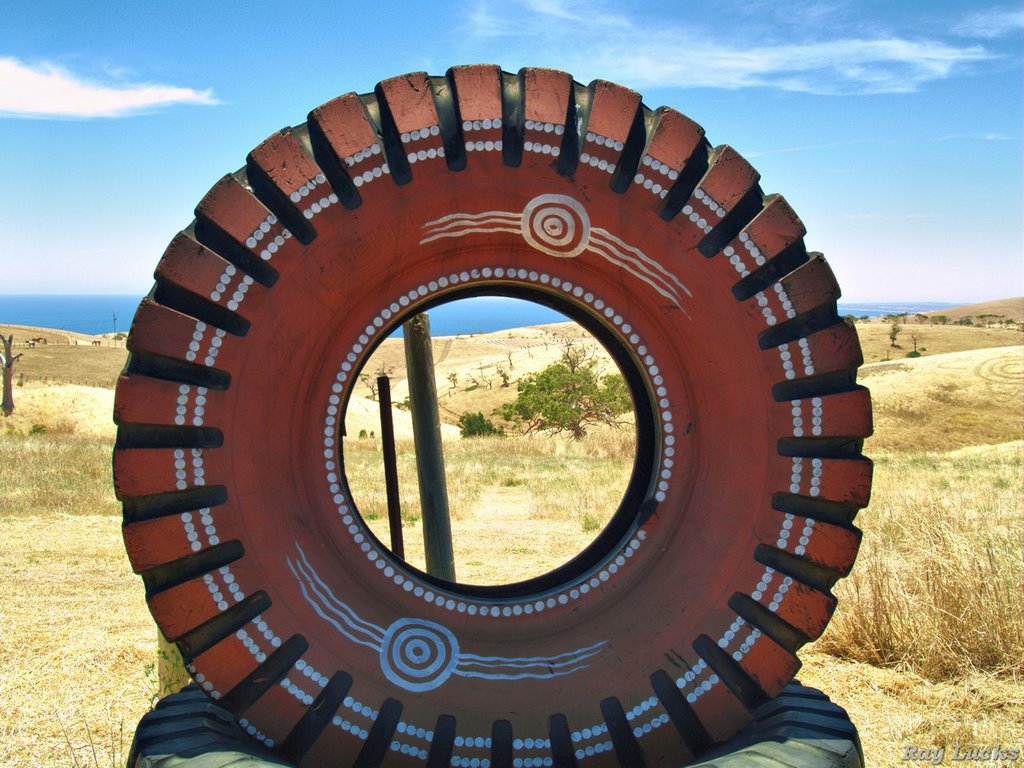
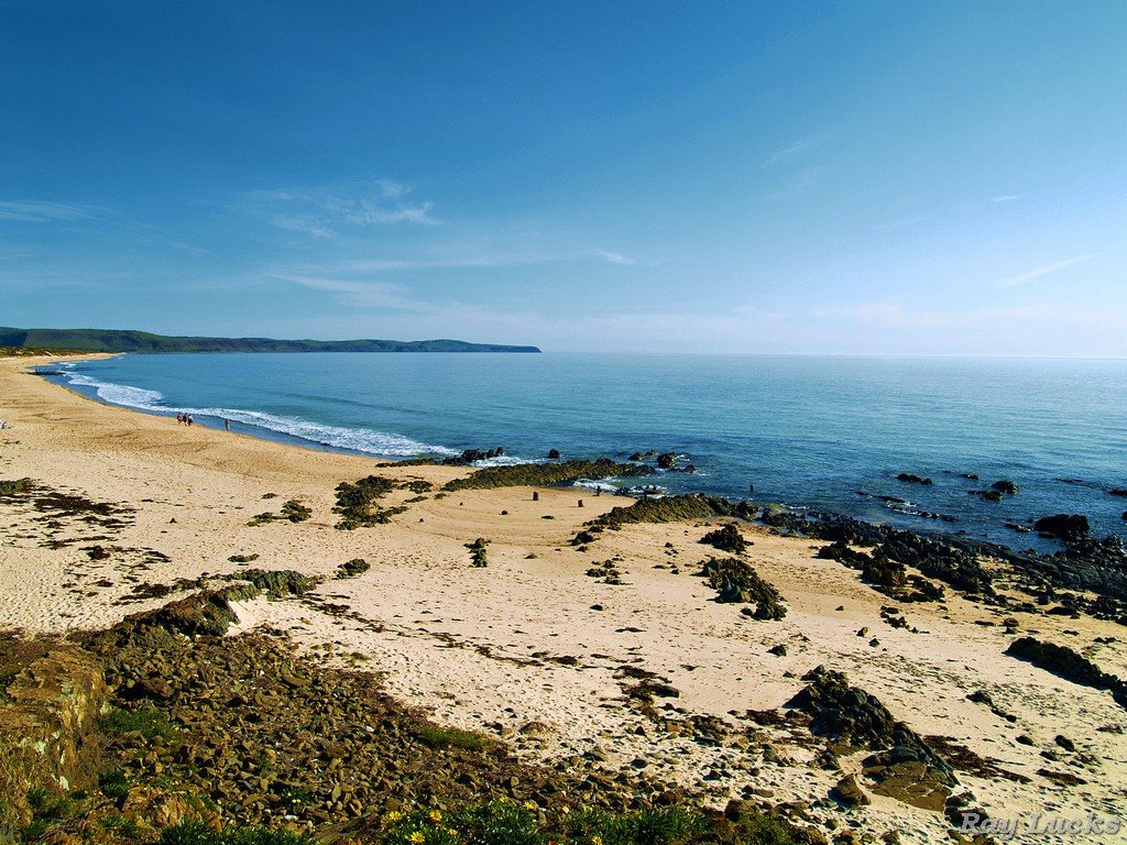
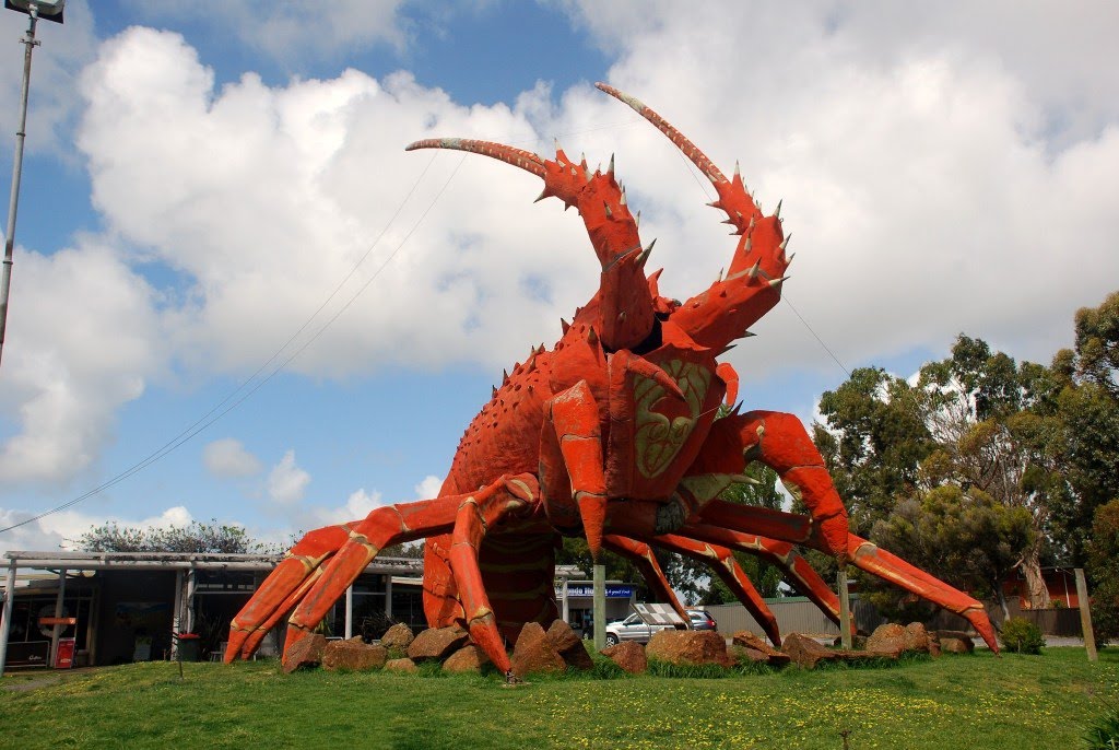
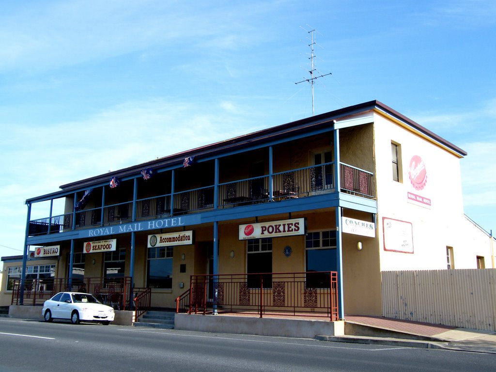
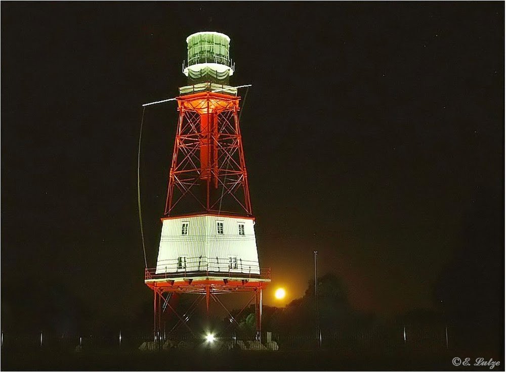
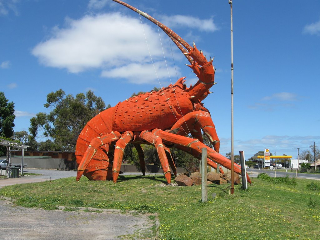
Photos of Yankalilla
Yankalilla Weather

Predicción: Scattered clouds
Temperatura: 14.2°
Humedad: 91%
Hora actual: 08:38 PM
Amanece: 06:41 AM
Anochece: 05:50 PM
Kingston SE, Australia
Latitude: -36.8299 // Longitude: 139.853
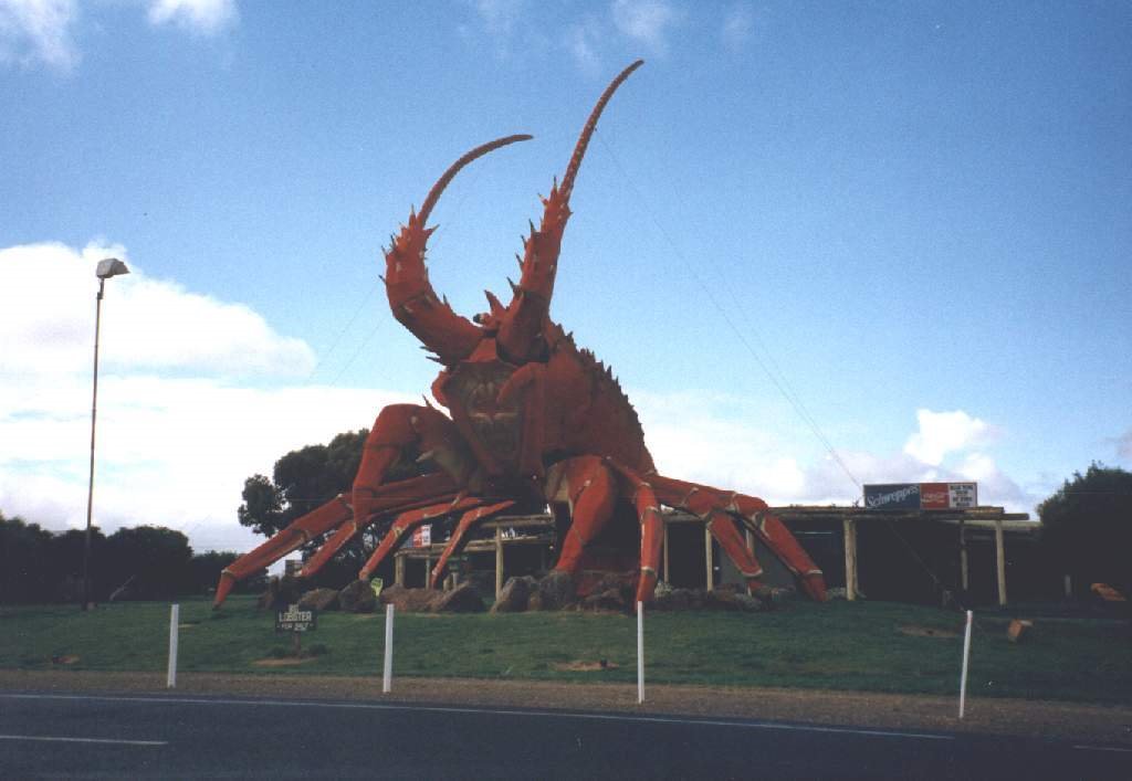
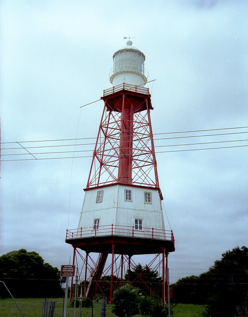
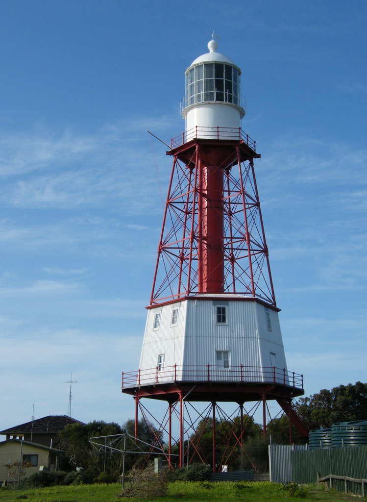
Photos of Kingston SE
Kingston SE Weather

Predicción: Overcast clouds
Temperatura: 13.6°
Humedad: 74%
Hora actual: 08:38 PM
Amanece: 06:37 AM
Anochece: 05:43 PM


