Distance between  Yandina and
  Rosewood
77.69 mi Straight Distance
103.76 mi Driving Distance
1 hour 49 mins Estimated Driving Time
The straight distance between Yandina (Queensland) and Rosewood (Queensland) is 77.69 mi, but the driving distance is 103.76 mi.
It takes 1 hour 59 mins to go from Yandina to Rosewood.
Driving directions from Yandina to Rosewood
Distance in kilometers
Straight distance: 125.00 km. Route distance: 166.94 km
Yandina, Australia
Latitude: -26.5614 // Longitude: 152.956
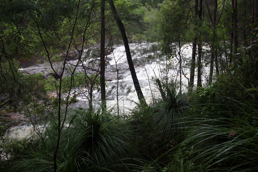
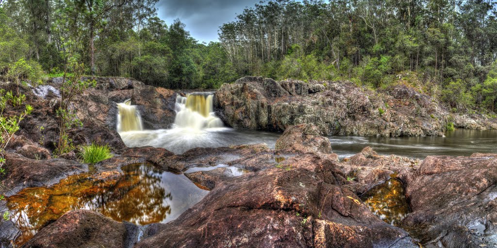
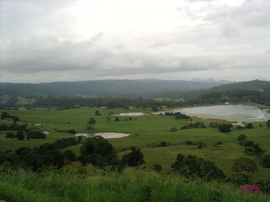
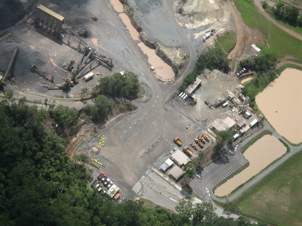
Photos of Yandina
Yandina Weather

Predicción: Overcast clouds
Temperatura: 24.0°
Humedad: 93%
Hora actual: 12:19 PM
Amanece: 06:05 AM
Anochece: 05:29 PM
Rosewood, Australia
Latitude: -27.6381 // Longitude: 152.592
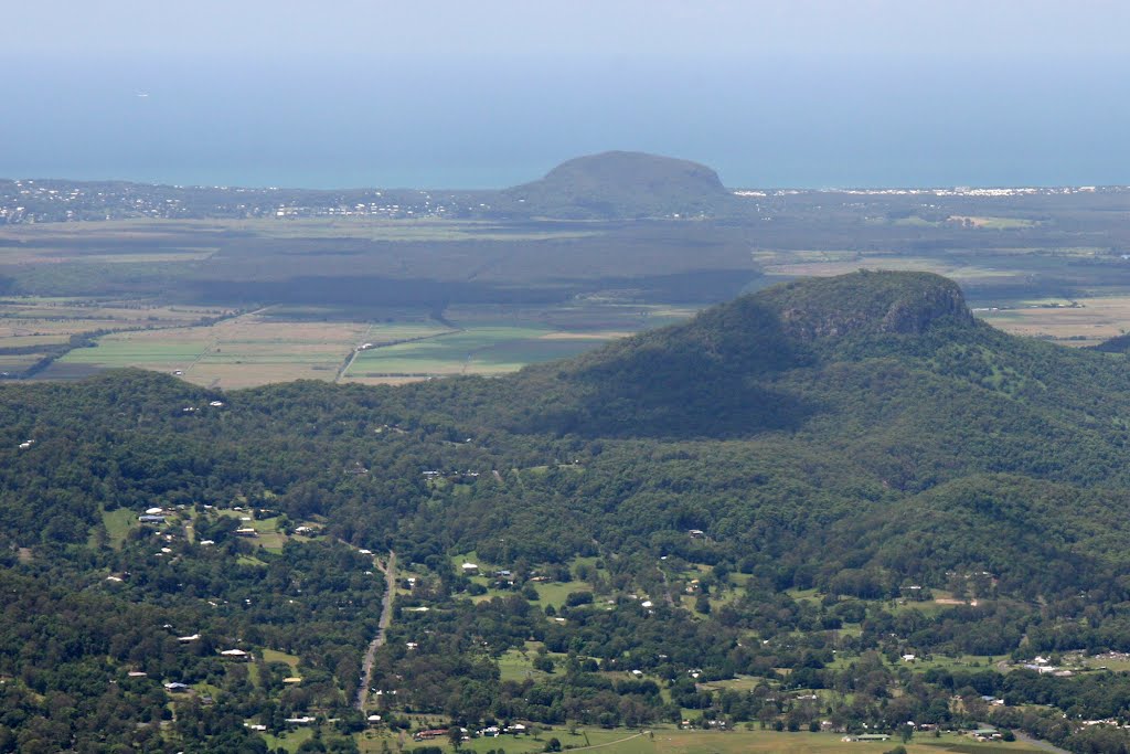
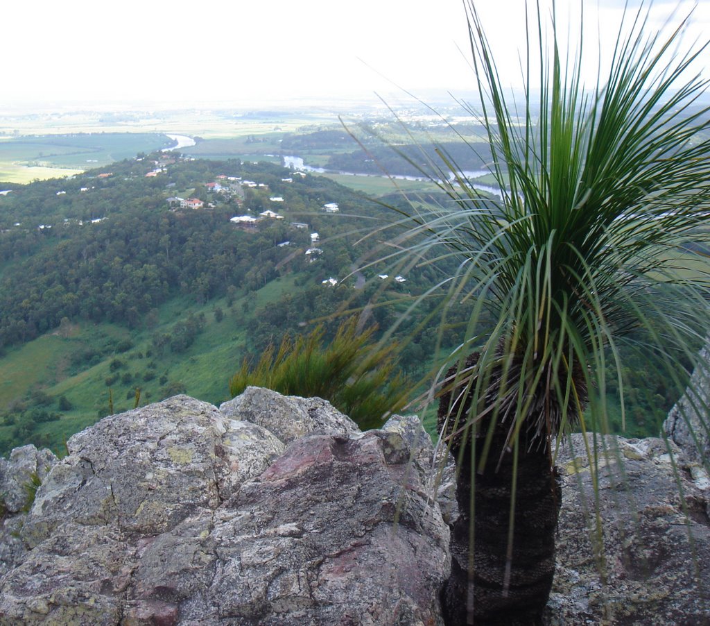
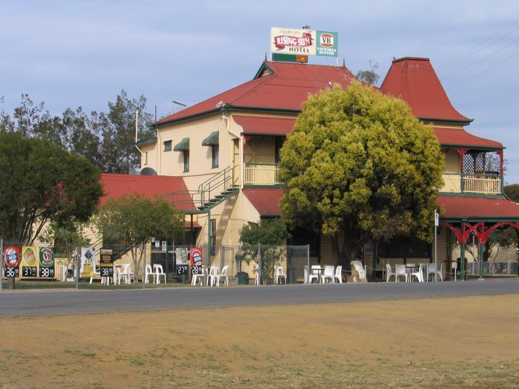
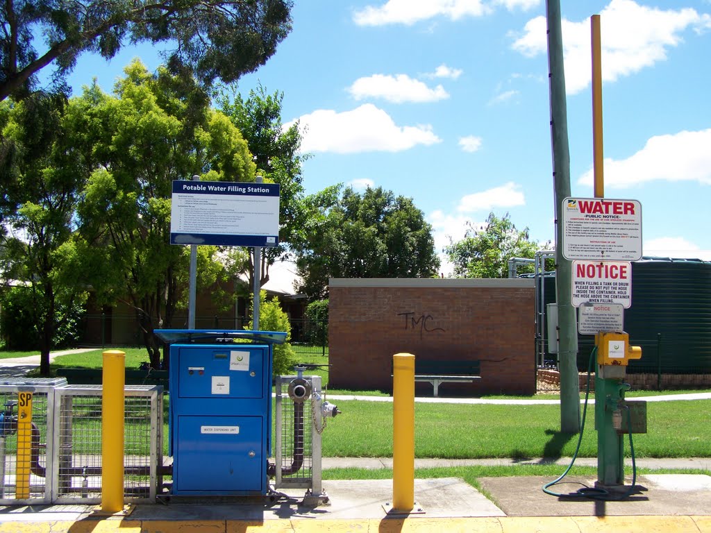
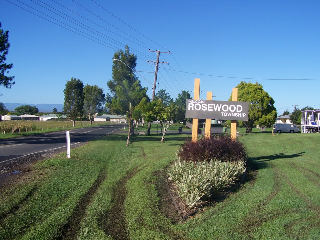
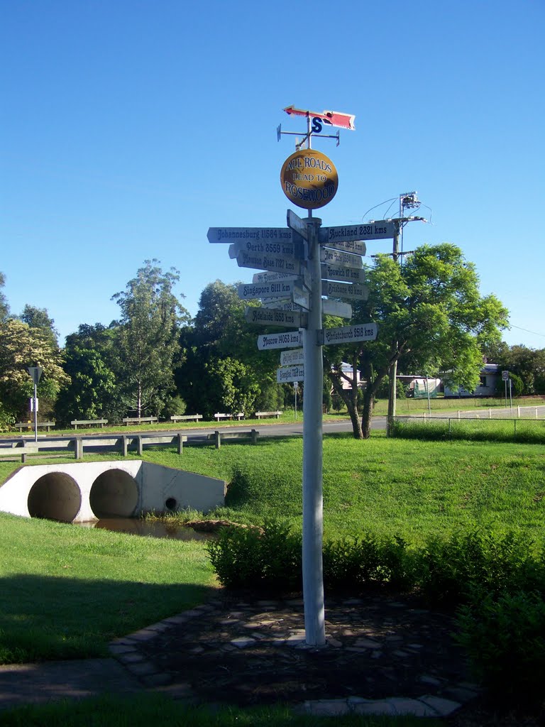
Photos of Rosewood
Rosewood Weather

Predicción: Broken clouds
Temperatura: 26.0°
Humedad: 65%
Hora actual: 12:19 PM
Amanece: 06:08 AM
Anochece: 05:29 PM


