Distance between  Yanakie and
  Cheviot
90.01 mi Straight Distance
131.51 mi Driving Distance
2 hours 25 mins Estimated Driving Time
The straight distance between Yanakie (Victoria) and Cheviot (Victoria) is 90.01 mi, but the driving distance is 131.51 mi.
It takes to go from Yanakie to Cheviot.
Driving directions from Yanakie to Cheviot
Distance in kilometers
Straight distance: 144.82 km. Route distance: 211.60 km
Yanakie, Australia
Latitude: -38.8114 // Longitude: 146.206
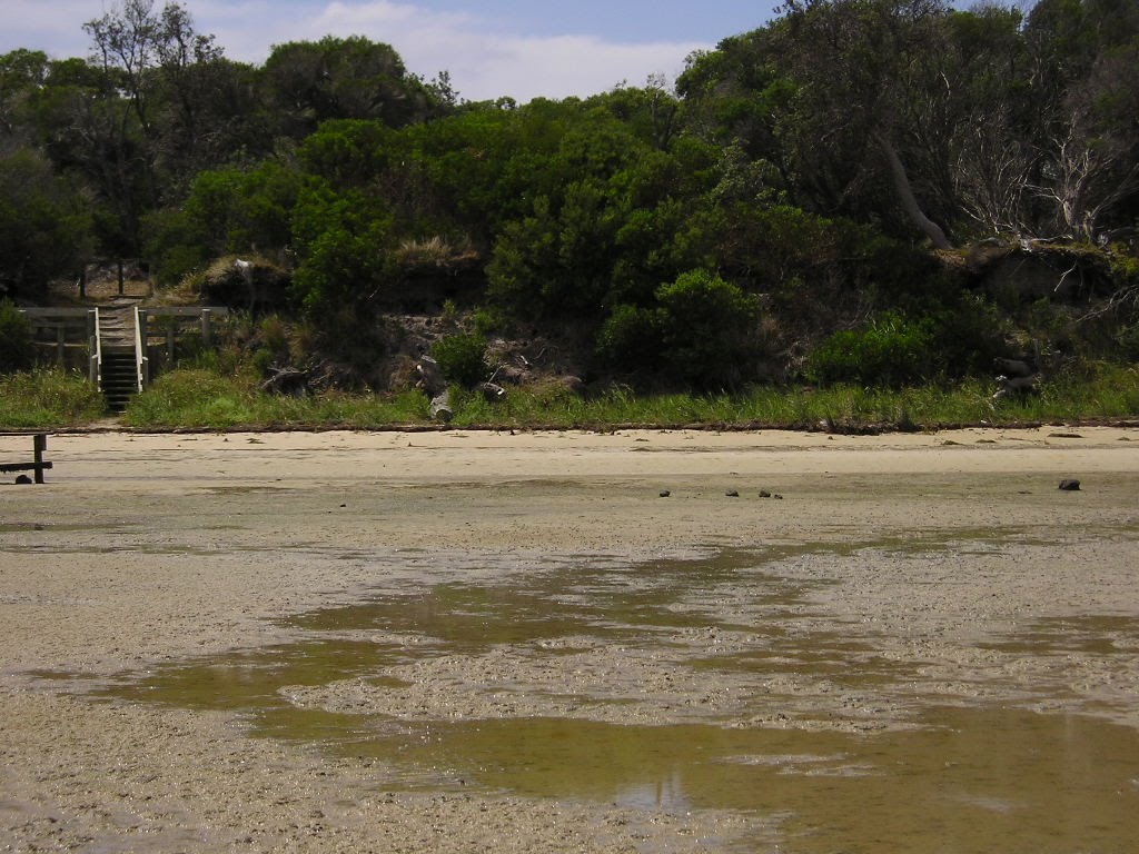
Photos of Yanakie
Yanakie Weather

Predicción: Overcast clouds
Temperatura: 14.6°
Humedad: 71%
Hora actual: 12:00 AM
Amanece: 08:44 PM
Anochece: 07:45 AM
Cheviot, Australia
Latitude: -38.3125 // Longitude: 144.667
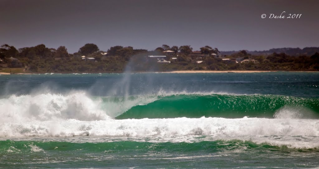
Photos of Cheviot
Cheviot Weather

Predicción: Light rain
Temperatura: 14.8°
Humedad: 70%
Hora actual: 05:09 PM
Amanece: 06:49 AM
Anochece: 05:52 PM


