Distance between  Yalla-Y-Poora and
  Wehla
Wehla
69.39 mi Straight Distance
86.66 mi Driving Distance
2 hours 25 mins Estimated Driving Time
The straight distance between Yalla-Y-Poora (Victoria) and Wehla (Victoria) is 69.39 mi, but the driving distance is 86.66 mi.
It takes 2 hours 35 mins to go from Yalla-Y-Poora to Wehla.
Driving directions from Yalla-Y-Poora to Wehla
Distance in kilometers
Straight distance: 111.64 km. Route distance: 139.43 km
Yalla-Y-Poora, Australia
Latitude: -37.5332 // Longitude: 143.14
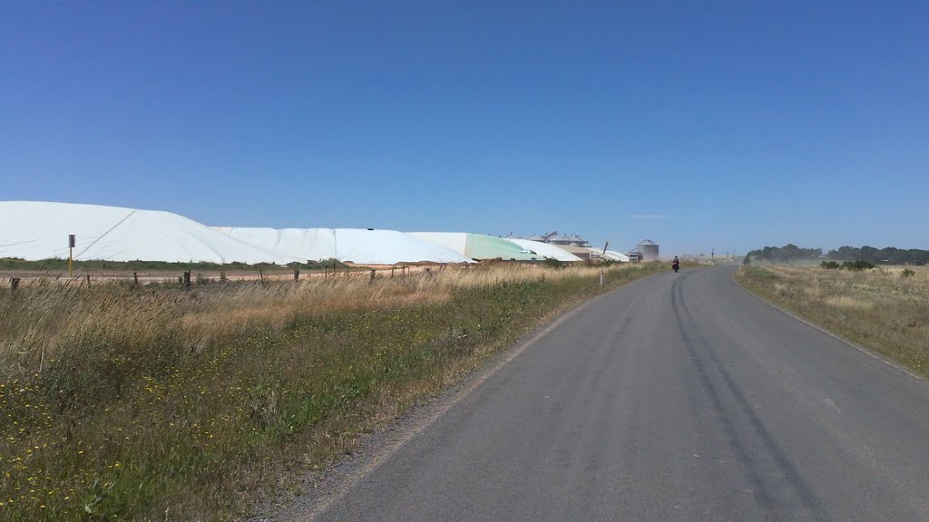
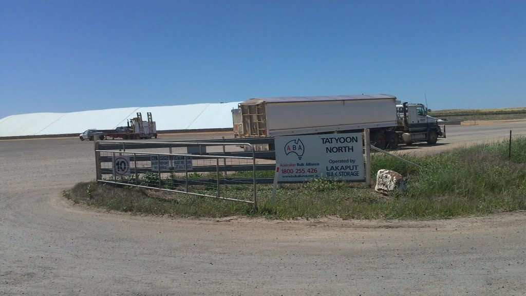
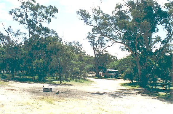
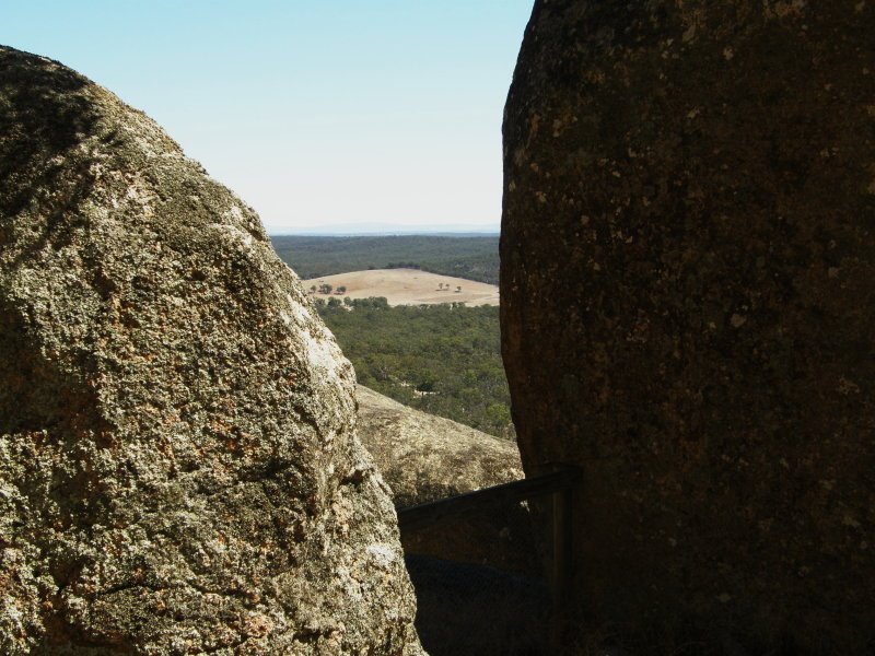
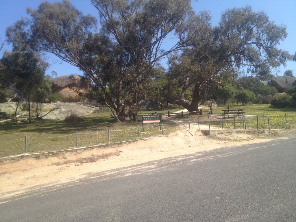
Photos of Yalla-Y-Poora
Yalla-Y-Poora Weather

Predicción: Overcast clouds
Temperatura: 11.8°
Humedad: 92%
Hora actual: 12:00 AM
Amanece: 08:57 PM
Anochece: 07:56 AM
Wehla, Australia
Latitude: -36.6032 // Longitude: 143.615
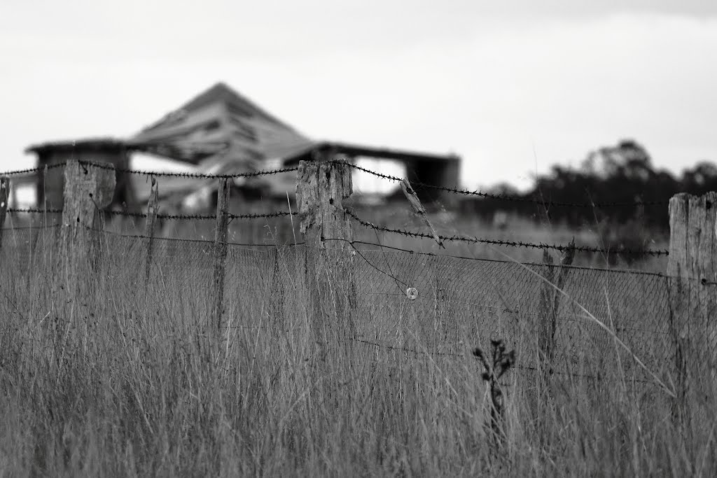
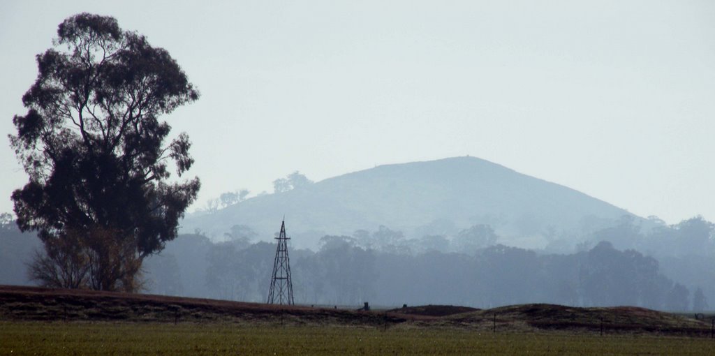
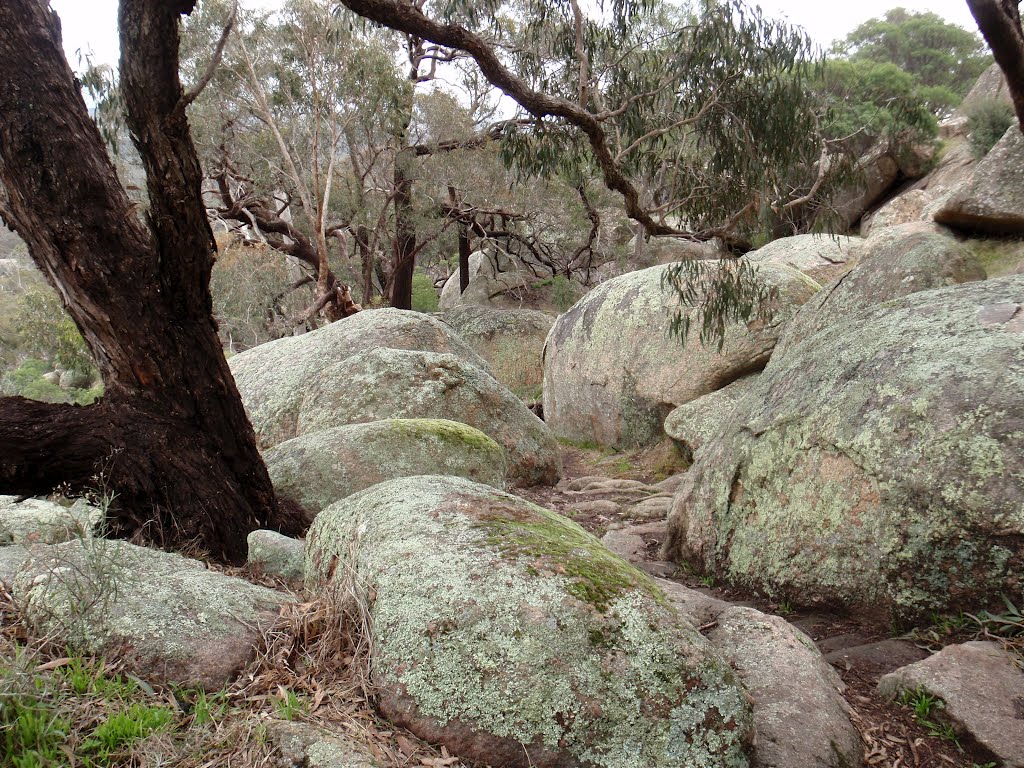
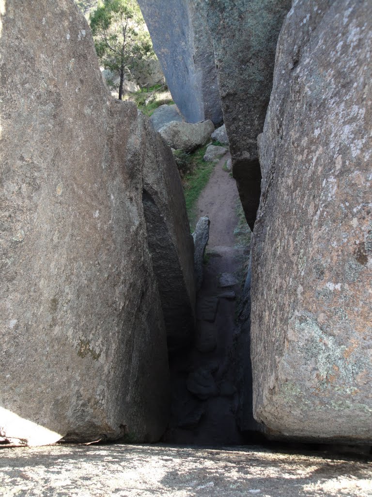
Photos of Wehla
Wehla Weather

Predicción: Light rain
Temperatura: 13.5°
Humedad: 73%
Hora actual: 12:00 AM
Amanece: 08:54 PM
Anochece: 07:55 AM


