
Distance between  Wyperfield National Park and
  Stuart Mill
115.49 mi Straight Distance
138.13 mi Driving Distance
2 hours 46 mins Estimated Driving Time
The straight distance between Wyperfield National Park (Victoria) and Stuart Mill (Victoria) is 115.49 mi, but the driving distance is 138.13 mi.
It takes to go from Wyperfield National Park to Stuart Mill.
Driving directions from Wyperfield National Park to Stuart Mill
Distance in kilometers
Straight distance: 185.82 km. Route distance: 222.26 km
Wyperfield National Park, Australia
Latitude: -35.5 // Longitude: 142
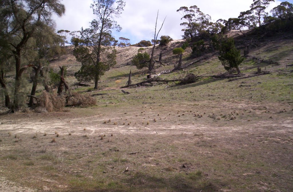
Photos of Wyperfield National Park


Wyperfield National Park Weather

Predicción: Broken clouds
Temperatura: 21.6°
Humedad: 38%
Hora actual: 12:00 AM
Amanece: 08:57 PM
Anochece: 08:05 AM
Stuart Mill, Australia
Latitude: -36.808 // Longitude: 143.289
Photos of Stuart Mill


Stuart Mill Weather

Predicción: Few clouds
Temperatura: 18.9°
Humedad: 40%
Hora actual: 12:00 AM
Amanece: 08:53 PM
Anochece: 07:59 AM


