Distance between  Wyalkatchem and
  Tunney
202.90 mi Straight Distance
250.53 mi Driving Distance
4 hours 51 mins Estimated Driving Time
The straight distance between Wyalkatchem (Western Australia) and Tunney (Western Australia) is 202.90 mi, but the driving distance is 250.53 mi.
It takes 5 hours 9 mins to go from Wyalkatchem to Tunney.
Driving directions from Wyalkatchem to Tunney
Distance in kilometers
Straight distance: 326.47 km. Route distance: 403.10 km
Wyalkatchem, Australia
Latitude: -31.1801 // Longitude: 117.381
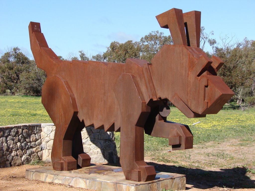
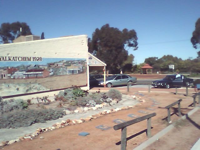
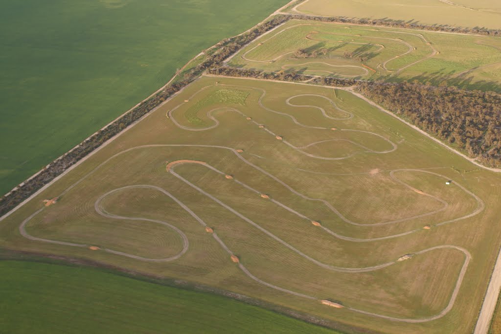
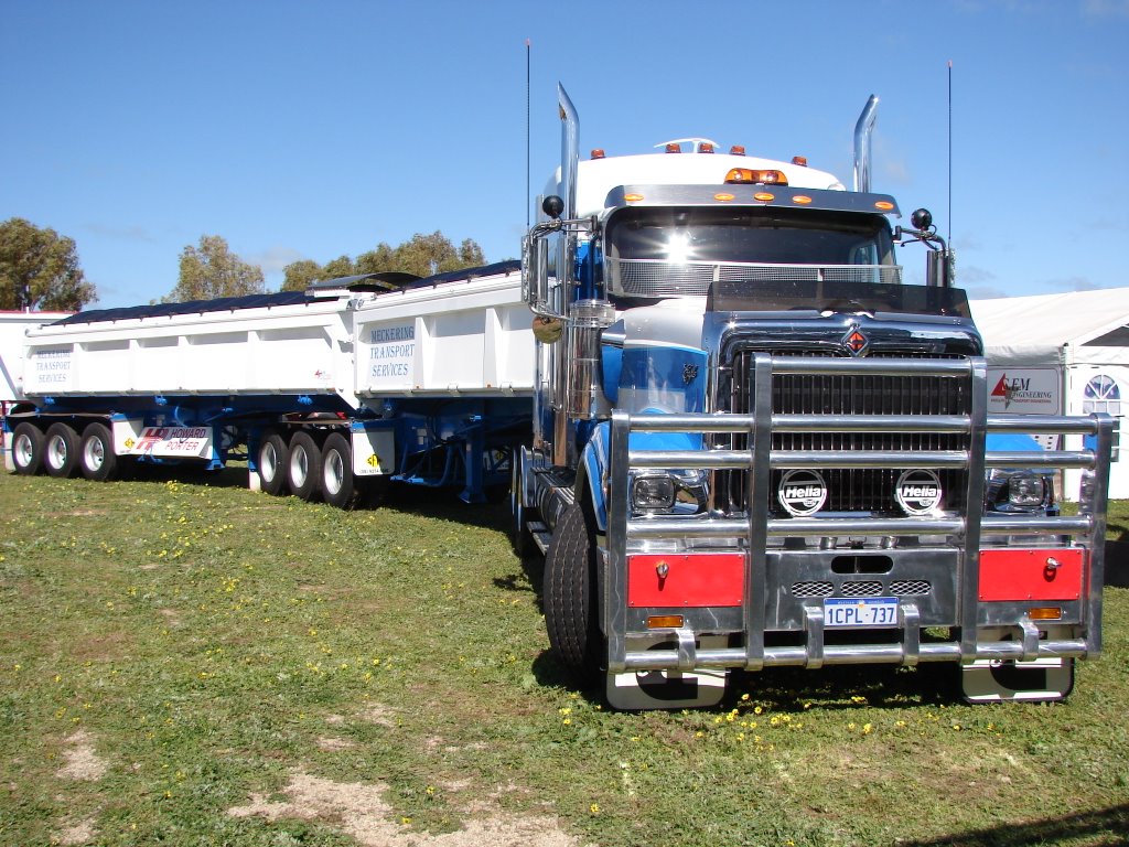
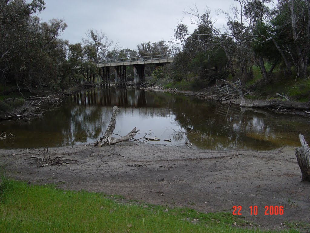
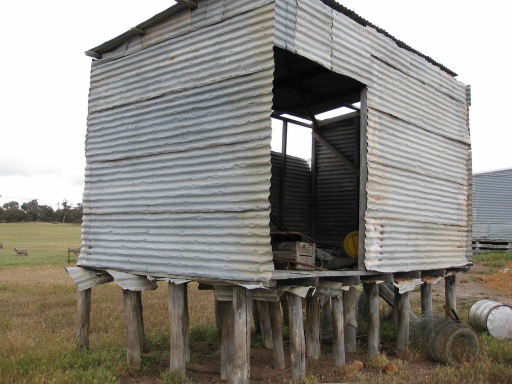
Photos of Wyalkatchem
Wyalkatchem Weather

Predicción: Clear sky
Temperatura: 16.9°
Humedad: 47%
Hora actual: 12:00 AM
Amanece: 10:33 PM
Anochece: 09:46 AM
Tunney, Australia
Latitude: -34.1167 // Longitude: 117.367
Photos of Tunney
Tunney Weather

Predicción: Clear sky
Temperatura: 16.9°
Humedad: 44%
Hora actual: 12:00 AM
Amanece: 10:36 PM
Anochece: 09:43 AM


