Distance between  Woombye and
  Pentland
639.43 mi Straight Distance
847.01 mi Driving Distance
14 hours 45 mins Estimated Driving Time
The straight distance between Woombye (Queensland) and Pentland (Queensland) is 639.43 mi, but the driving distance is 847.01 mi.
It takes to go from Woombye to Pentland.
Driving directions from Woombye to Pentland
Distance in kilometers
Straight distance: 1,028.85 km. Route distance: 1,362.85 km
Woombye, Australia
Latitude: -26.6604 // Longitude: 152.965
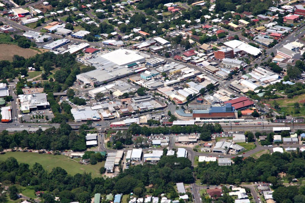
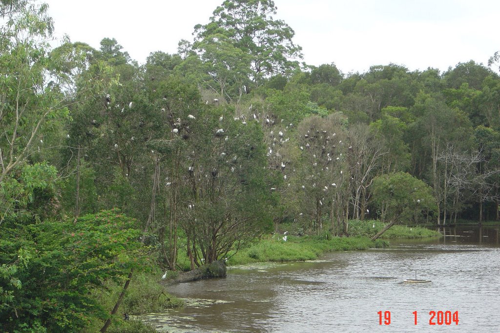
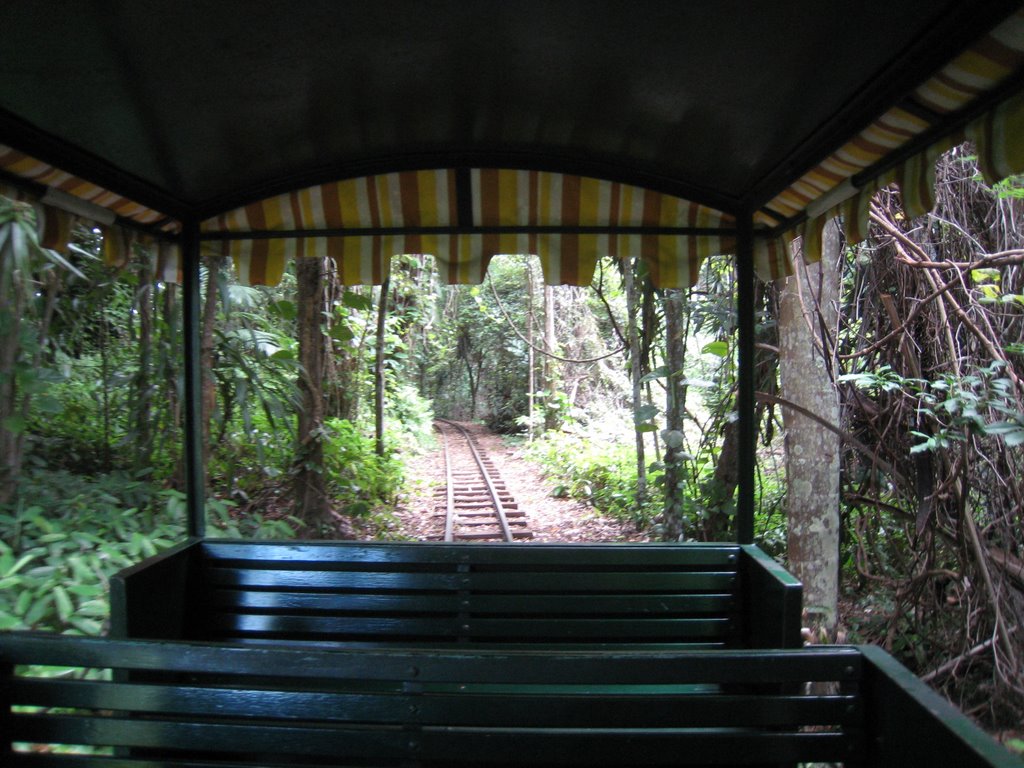
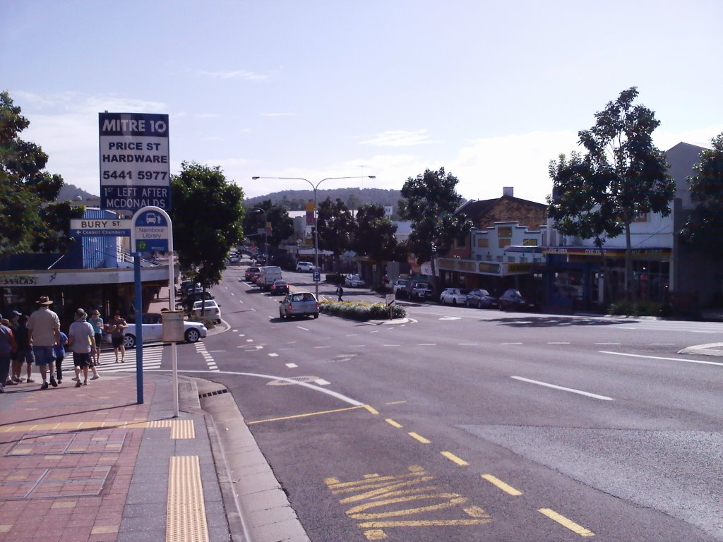
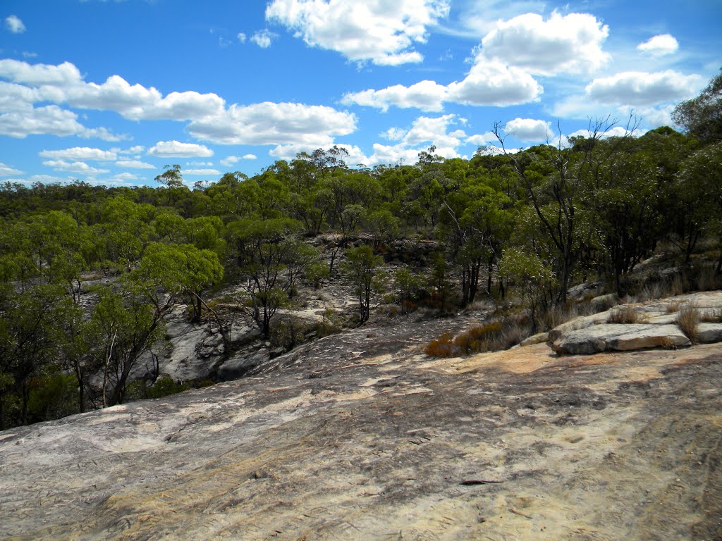
Photos of Woombye
Woombye Weather

Predicción: Few clouds
Temperatura: 19.5°
Humedad: 98%
Hora actual: 04:16 AM
Amanece: 06:06 AM
Anochece: 05:28 PM
Pentland, Australia
Latitude: -20.5239 // Longitude: 145.399
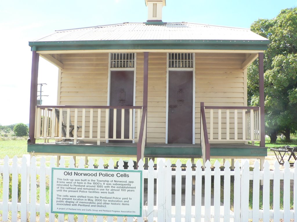
Photos of Pentland
Pentland Weather

Predicción: Broken clouds
Temperatura: 20.8°
Humedad: 81%
Hora actual: 10:00 AM
Amanece: 06:31 AM
Anochece: 06:03 PM


