Distance between  Wool Bay and
  Penong
346.09 mi Straight Distance
535.92 mi Driving Distance
8 hours 10 mins Estimated Driving Time
The straight distance between Wool Bay (South Australia) and Penong (South Australia) is 346.09 mi, but the driving distance is 535.92 mi.
It takes 8 hours 56 mins to go from Wool Bay to Penong.
Driving directions from Wool Bay to Penong
Distance in kilometers
Straight distance: 556.86 km. Route distance: 862.29 km
Wool Bay, Australia
Latitude: -34.9913 // Longitude: 137.758
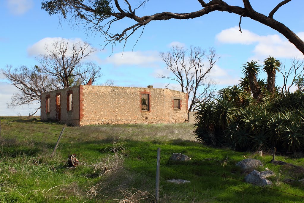
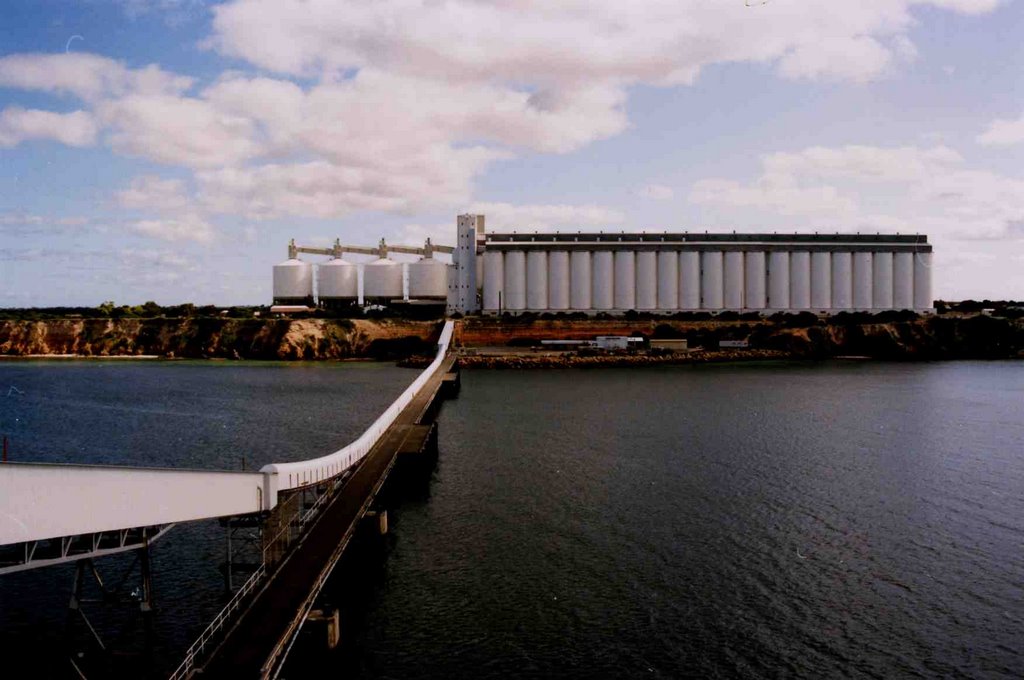
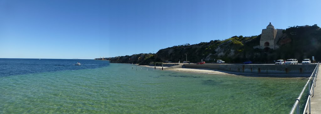
Photos of Wool Bay
Wool Bay Weather

Predicción: Broken clouds
Temperatura: 17.3°
Humedad: 59%
Hora actual: 12:00 AM
Amanece: 09:15 PM
Anochece: 08:20 AM
Penong, Australia
Latitude: -31.9278 // Longitude: 133.006
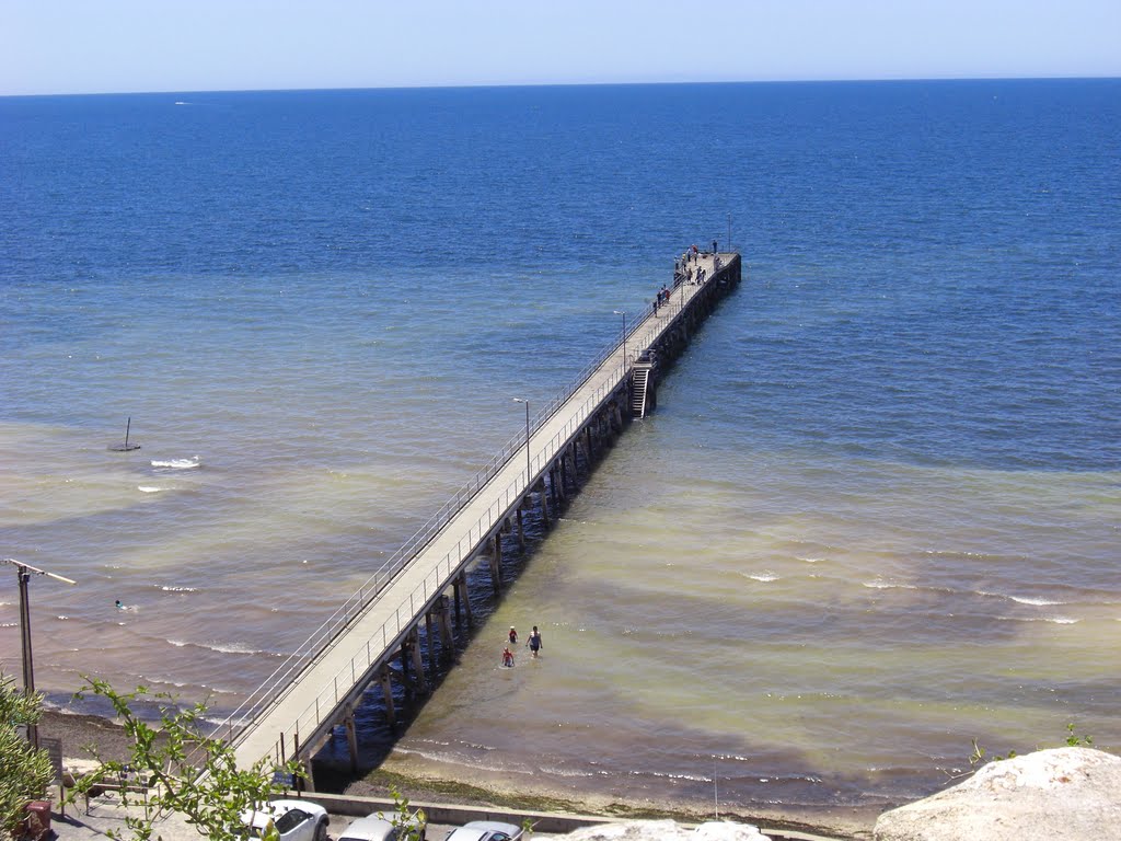
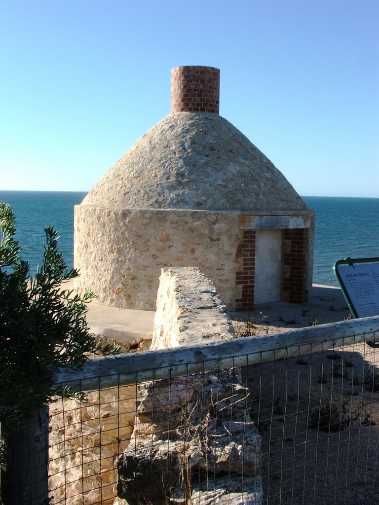
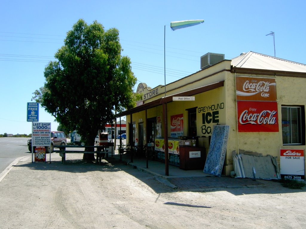
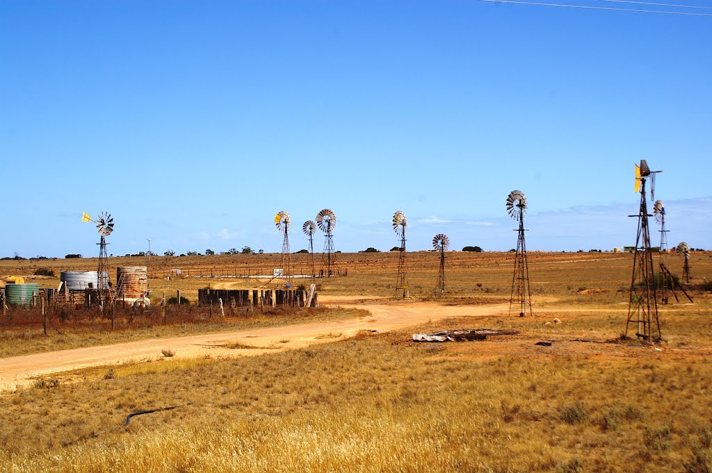
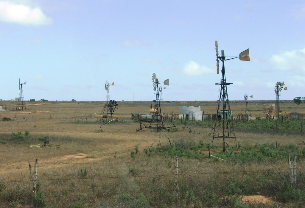
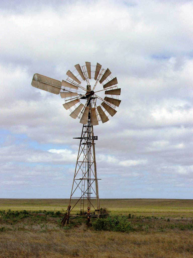
Photos of Penong
Penong Weather

Predicción: Clear sky
Temperatura: 17.5°
Humedad: 62%
Hora actual: 04:41 PM
Amanece: 07:01 AM
Anochece: 06:13 PM


