Distance between  Woodside and
  Mount Best
481.89 mi Straight Distance
556.27 mi Driving Distance
9 hours 11 mins Estimated Driving Time
The straight distance between Woodside (South Australia) and Mount Best (Victoria) is 481.89 mi, but the driving distance is 556.27 mi.
It takes to go from Woodside to Mount Best.
Driving directions from Woodside to Mount Best
Distance in kilometers
Straight distance: 775.37 km. Route distance: 895.04 km
Woodside, Australia
Latitude: -34.9522 // Longitude: 138.875
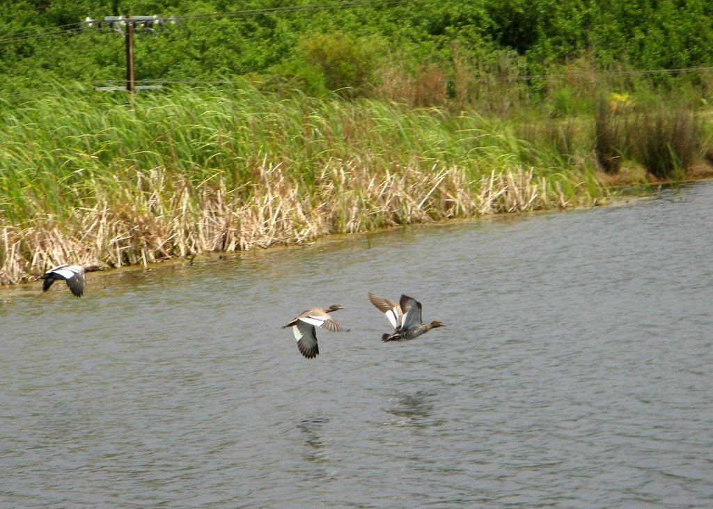
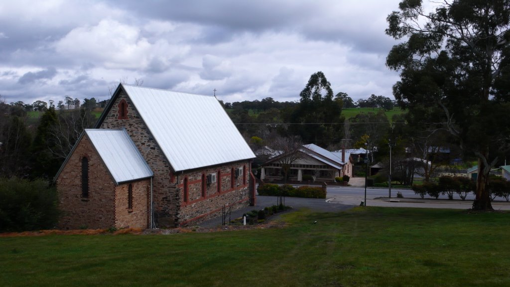
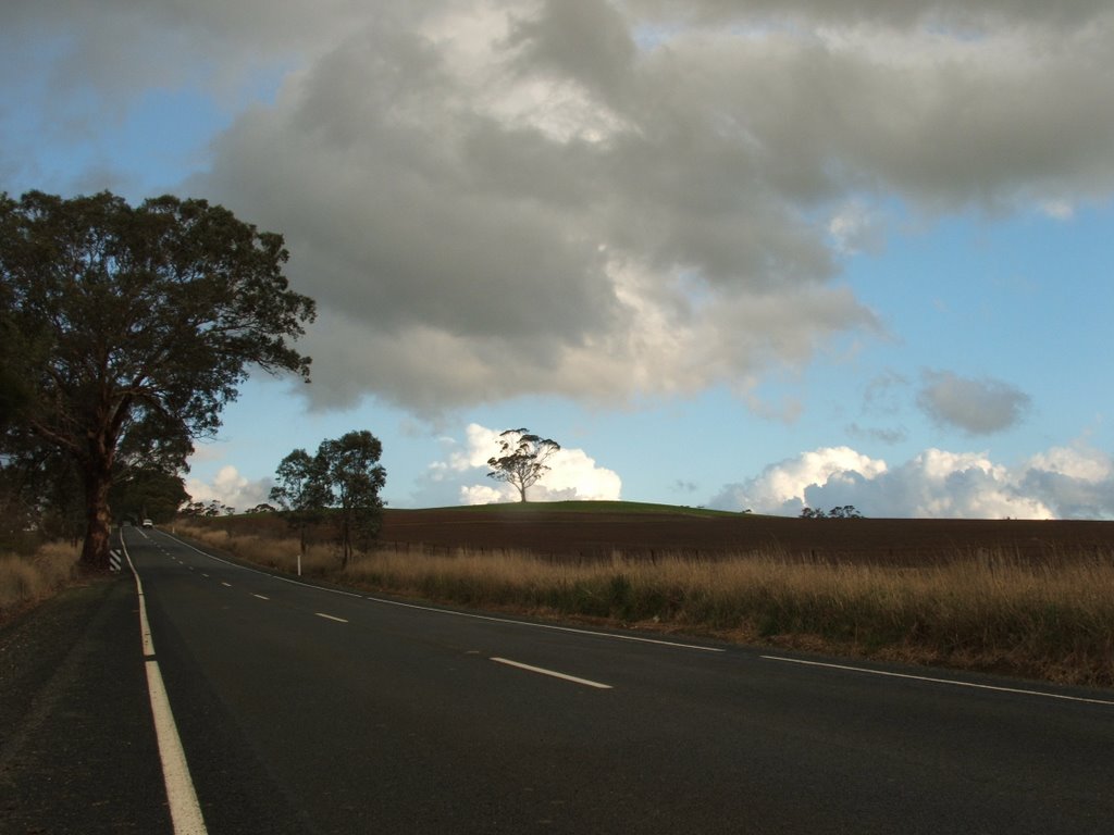
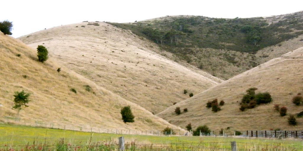
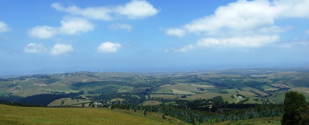
Photos of Woodside
Woodside Weather

Predicción: Scattered clouds
Temperatura: 14.1°
Humedad: 75%
Hora actual: 10:05 AM
Amanece: 06:41 AM
Anochece: 05:45 PM
Mount Best, Australia
Latitude: -38.6011 // Longitude: 146.301
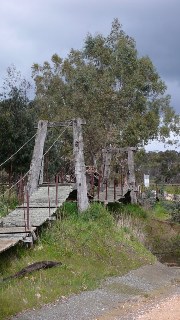
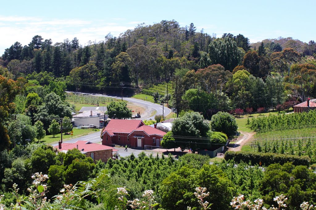
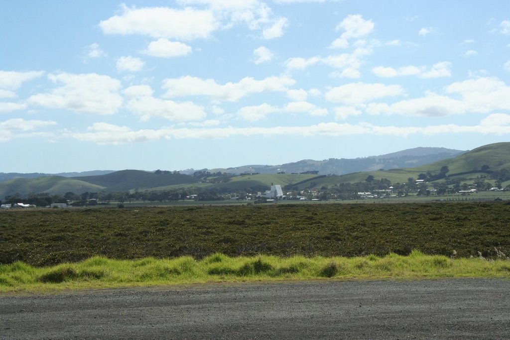
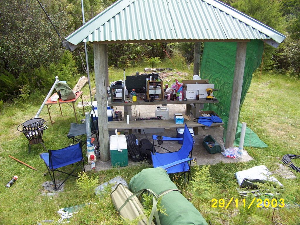
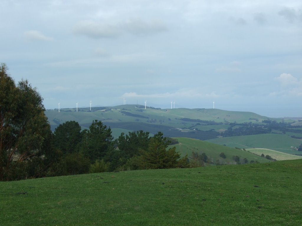
Photos of Mount Best
Mount Best Weather

Predicción: Light rain
Temperatura: 12.4°
Humedad: 88%
Hora actual: 10:35 AM
Amanece: 06:46 AM
Anochece: 05:41 PM


