Distance between  Wollongbar and
  Robertson
431.27 mi Straight Distance
555.18 mi Driving Distance
9 hours 42 mins Estimated Driving Time
The straight distance between Wollongbar (New South Wales) and Robertson (New South Wales) is 431.27 mi, but the driving distance is 555.18 mi.
It takes to go from Wollongbar to Robertson.
Driving directions from Wollongbar to Robertson
Distance in kilometers
Straight distance: 693.92 km. Route distance: 893.29 km
Wollongbar, Australia
Latitude: -28.8262 // Longitude: 153.415
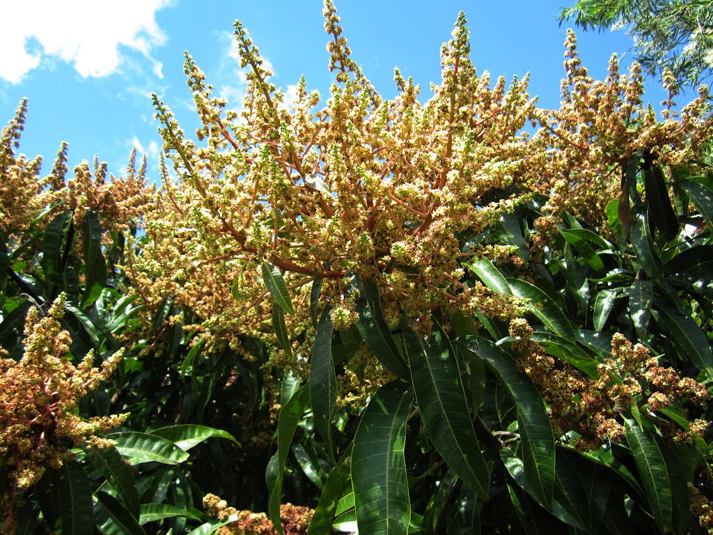
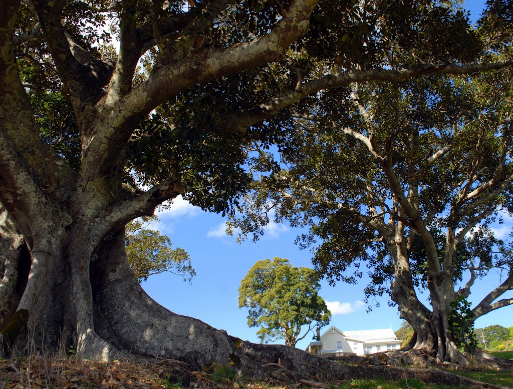
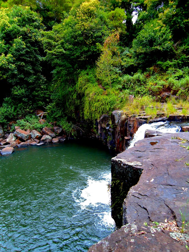
Photos of Wollongbar
Wollongbar Weather

Predicción: Clear sky
Temperatura: 13.2°
Humedad: 100%
Hora actual: 04:34 AM
Amanece: 06:06 AM
Anochece: 05:24 PM
Robertson, Australia
Latitude: -34.5885 // Longitude: 150.592
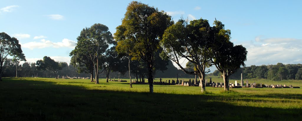
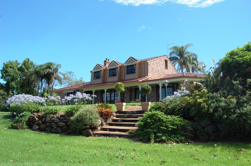
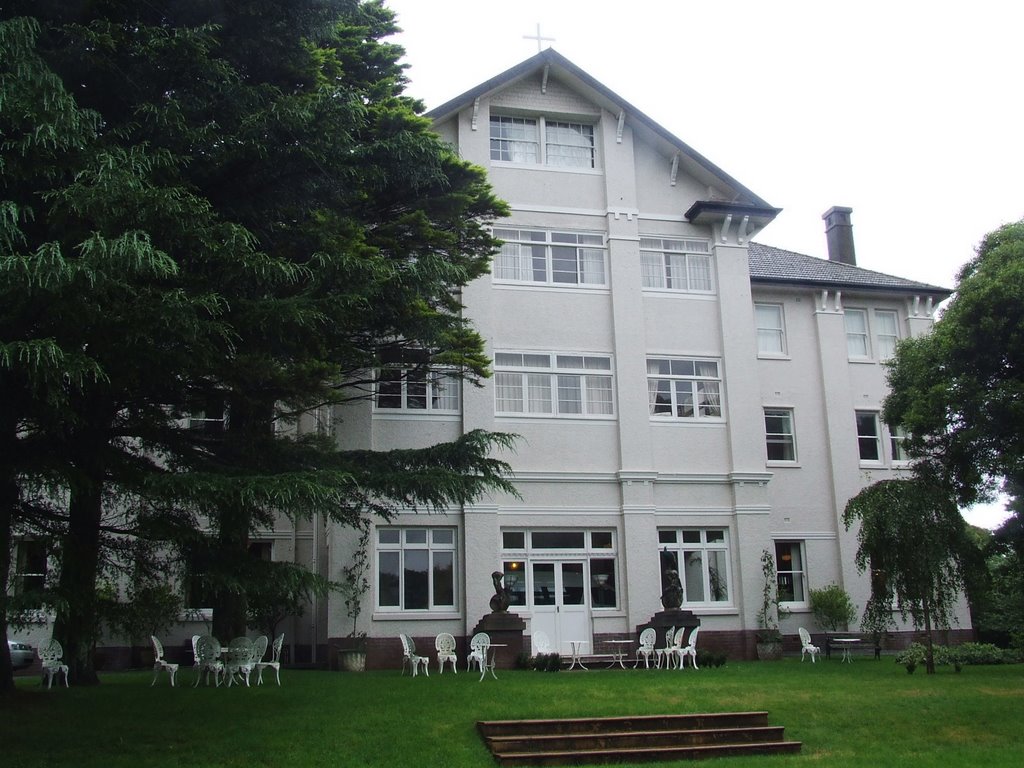
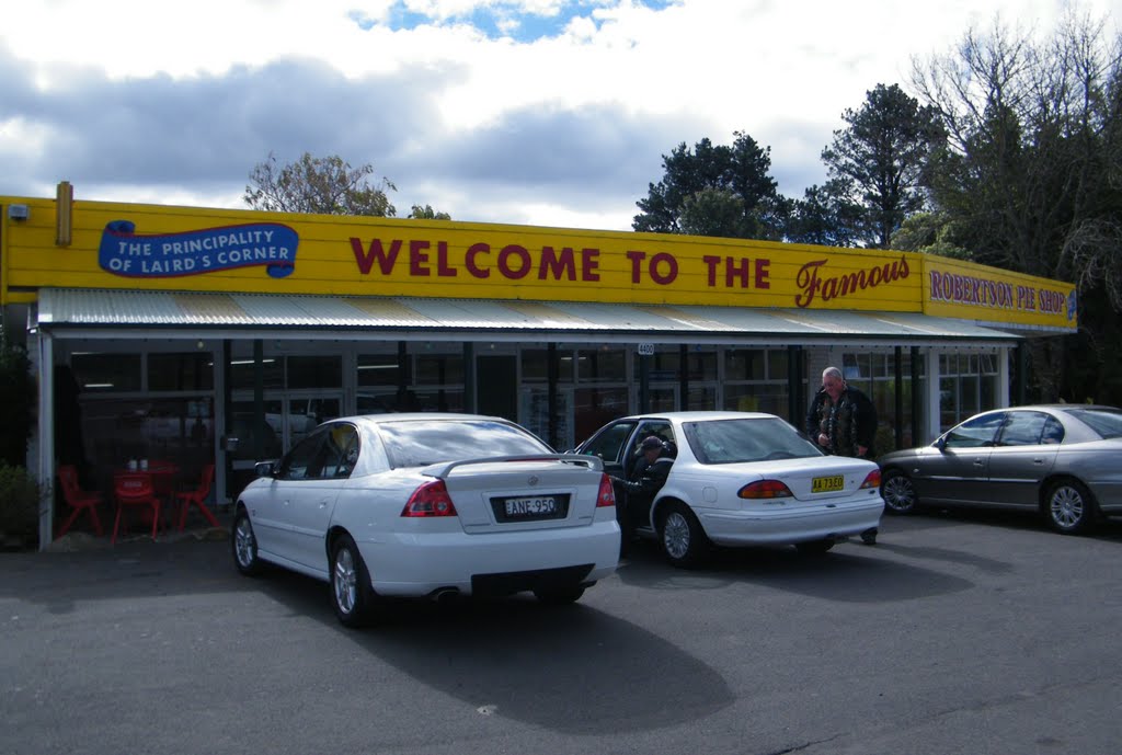
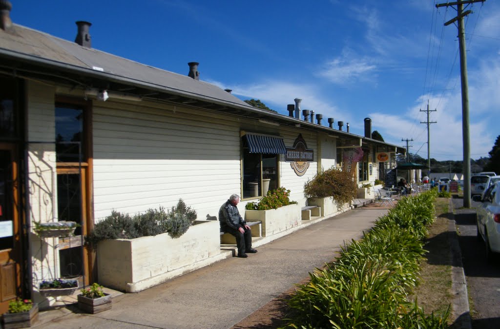
Photos of Robertson
Robertson Weather

Predicción: Scattered clouds
Temperatura: 7.7°
Humedad: 87%
Hora actual: 04:34 AM
Amanece: 06:24 AM
Anochece: 05:29 PM


