Distance between  Windsor and
  Trentham Cliffs
223.90 mi Straight Distance
252.92 mi Driving Distance
4 hours 3 mins Estimated Driving Time
The straight distance between Windsor (South Australia) and Trentham Cliffs (New South Wales) is 223.90 mi, but the driving distance is 252.92 mi.
It takes to go from Windsor to Trentham Cliffs.
Driving directions from Windsor to Trentham Cliffs
Distance in kilometers
Straight distance: 360.26 km. Route distance: 406.95 km
Windsor, Australia
Latitude: -34.4225 // Longitude: 138.334
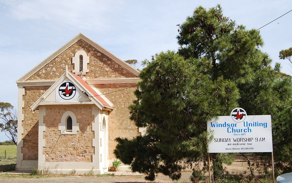
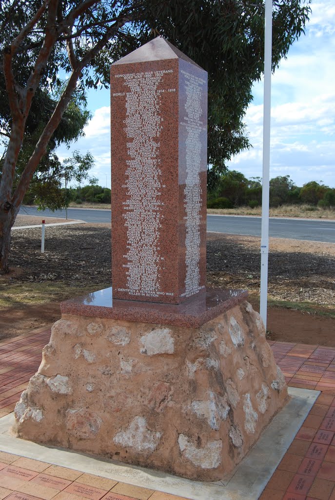
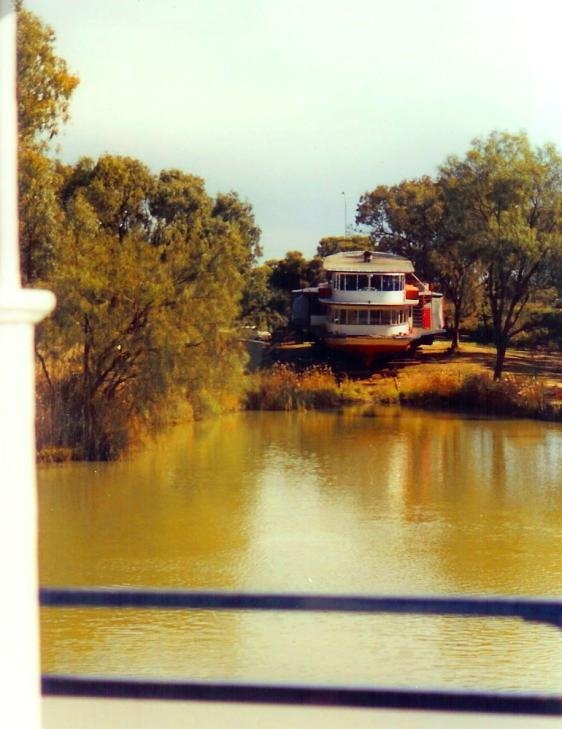
Photos of Windsor
Windsor Weather

Predicción: Overcast clouds
Temperatura: 16.9°
Humedad: 57%
Hora actual: 12:00 AM
Amanece: 09:12 PM
Anochece: 08:19 AM
Trentham Cliffs, Australia
Latitude: -34.2167 // Longitude: 142.25
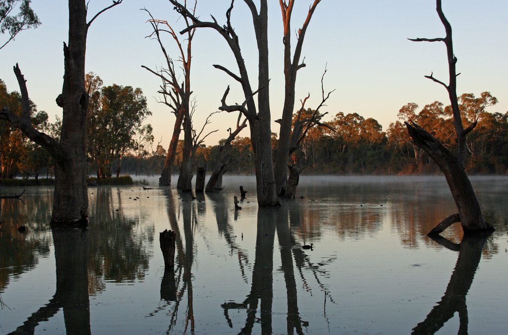
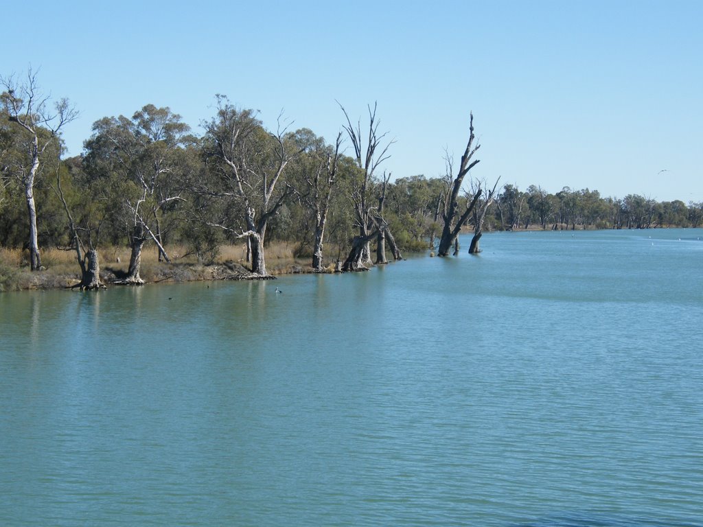
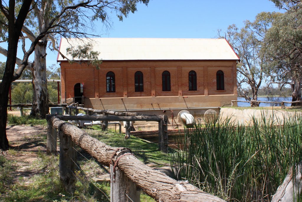
Photos of Trentham Cliffs
Trentham Cliffs Weather

Predicción: Clear sky
Temperatura: 19.5°
Humedad: 46%
Hora actual: 03:32 PM
Amanece: 06:56 AM
Anochece: 06:04 PM


