Distance between  Wiltshire and
  Wickham
2,157.79 mi Straight Distance
3,093.56 mi Driving Distance
2 days 8 hours Estimated Driving Time
The straight distance between Wiltshire (Tasmania) and Wickham (Western Australia) is 2,157.79 mi, but the driving distance is 3,093.56 mi.
It takes 1 day 8 hours to go from Wiltshire to Wickham.
Driving directions from Wiltshire to Wickham
Distance in kilometers
Straight distance: 3,471.89 km. Route distance: 4,977.53 km
Wiltshire, Australia
Latitude: -40.8348 // Longitude: 145.277
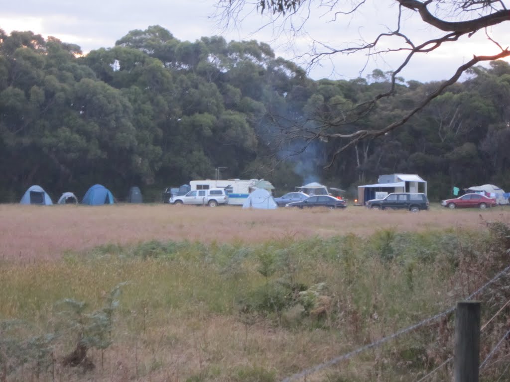
Photos of Wiltshire
Wiltshire Weather

Predicción: Clear sky
Temperatura: 12.3°
Humedad: 61%
Hora actual: 12:00 AM
Amanece: 08:52 PM
Anochece: 07:43 AM
Wickham, Australia
Latitude: -20.6749 // Longitude: 117.142
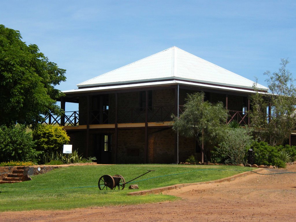
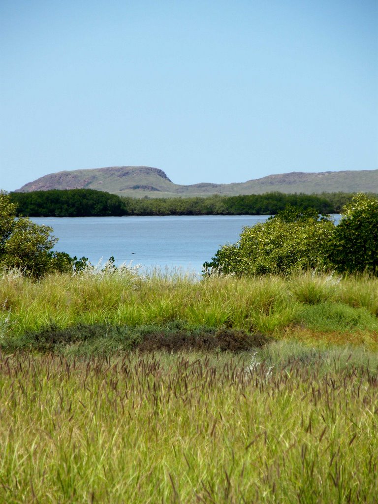
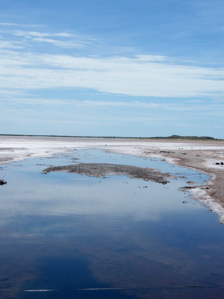
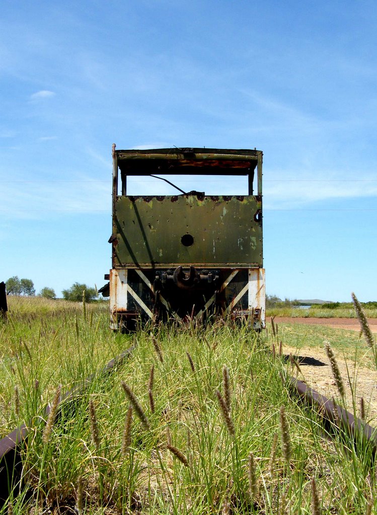
Photos of Wickham
Wickham Weather

Predicción: Clear sky
Temperatura: 25.5°
Humedad: 34%
Hora actual: 07:04 AM
Amanece: 06:24 AM
Anochece: 05:56 PM


