Distance between  Willunga and
  Rowland Flat
52.34 mi Straight Distance
65.81 mi Driving Distance
1 hour 27 mins Estimated Driving Time
The straight distance between Willunga (South Australia) and Rowland Flat (South Australia) is 52.34 mi, but the driving distance is 65.81 mi.
It takes 1 hour 41 mins to go from Willunga to Rowland Flat.
Driving directions from Willunga to Rowland Flat
Distance in kilometers
Straight distance: 84.22 km. Route distance: 105.89 km
Willunga, Australia
Latitude: -35.2722 // Longitude: 138.555
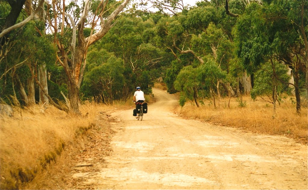
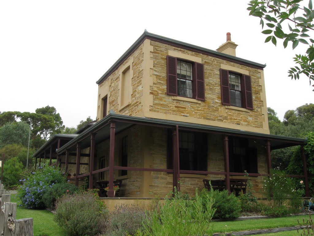
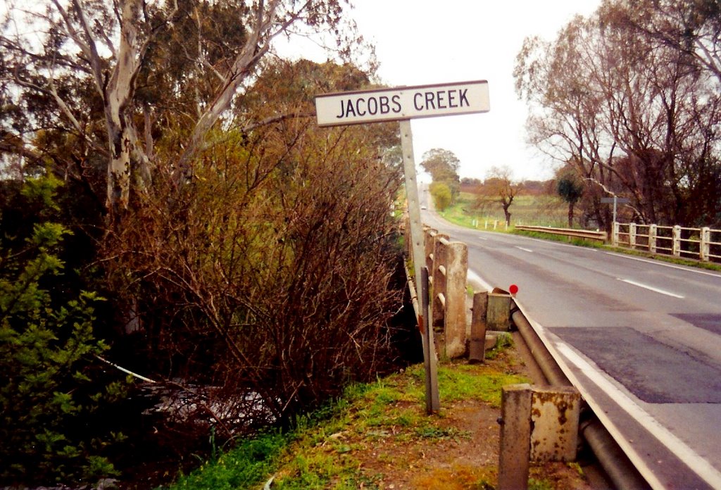
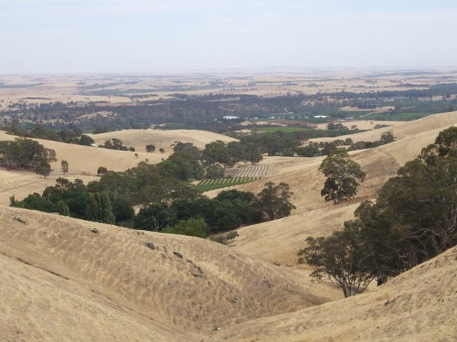
Photos of Willunga
Willunga Weather

Predicción: Overcast clouds
Temperatura: 14.8°
Humedad: 68%
Hora actual: 06:27 PM
Amanece: 06:42 AM
Anochece: 05:47 PM
Rowland Flat, Australia
Latitude: -34.5795 // Longitude: 138.929
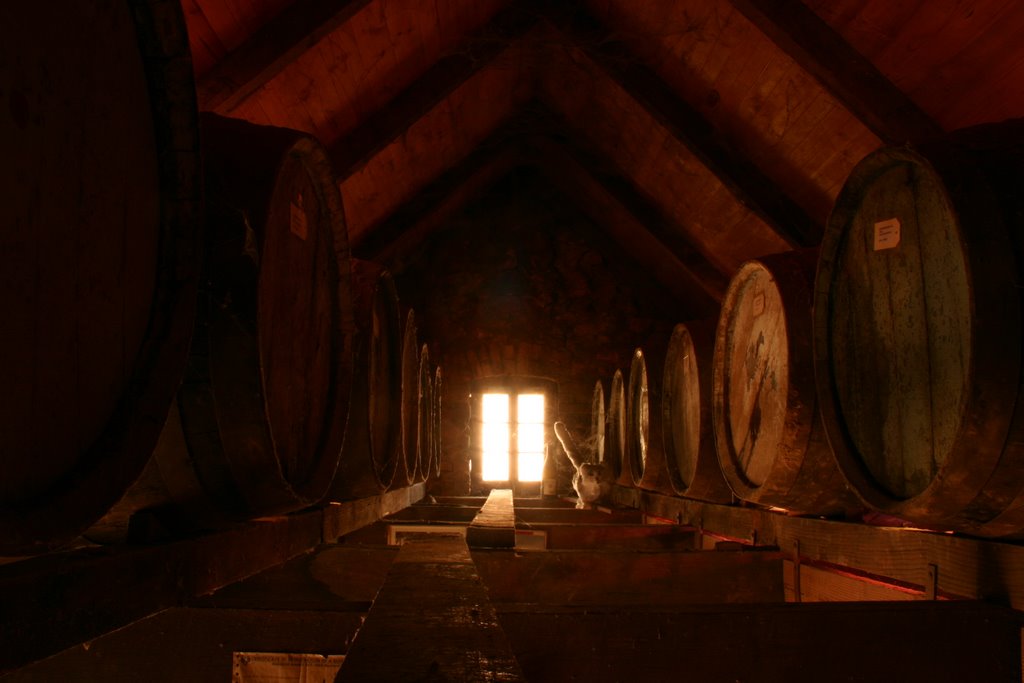
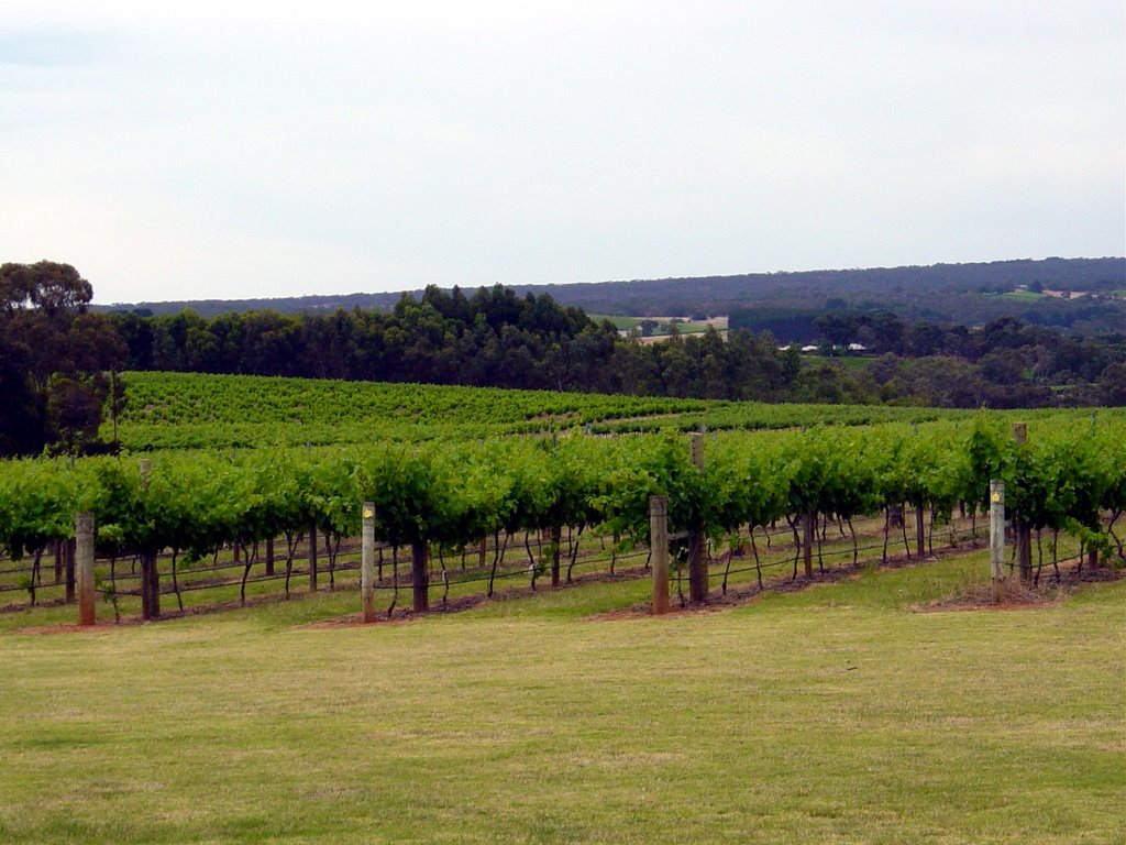
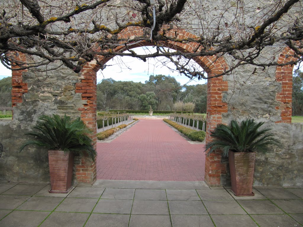
Photos of Rowland Flat
Rowland Flat Weather

Predicción: Broken clouds
Temperatura: 13.8°
Humedad: 80%
Hora actual: 06:27 PM
Amanece: 06:40 AM
Anochece: 05:47 PM


