Distance between  Willowmavin and
  Wallington
69.55 mi Straight Distance
95.29 mi Driving Distance
1 hour 45 mins Estimated Driving Time
The straight distance between Willowmavin (Victoria) and Wallington (Victoria) is 69.55 mi, but the driving distance is 95.29 mi.
It takes to go from Willowmavin to Wallington.
Driving directions from Willowmavin to Wallington
Distance in kilometers
Straight distance: 111.91 km. Route distance: 153.32 km
Willowmavin, Australia
Latitude: -37.262 // Longitude: 144.908
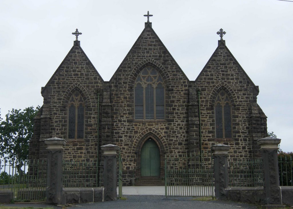
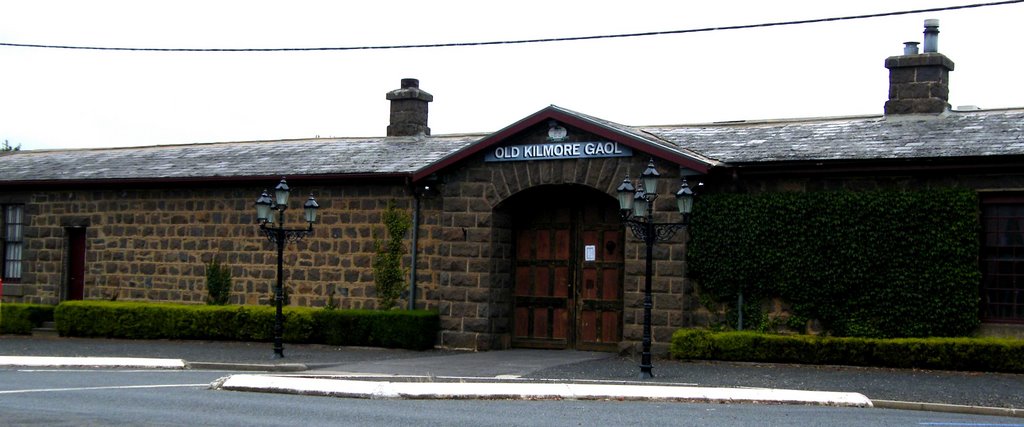
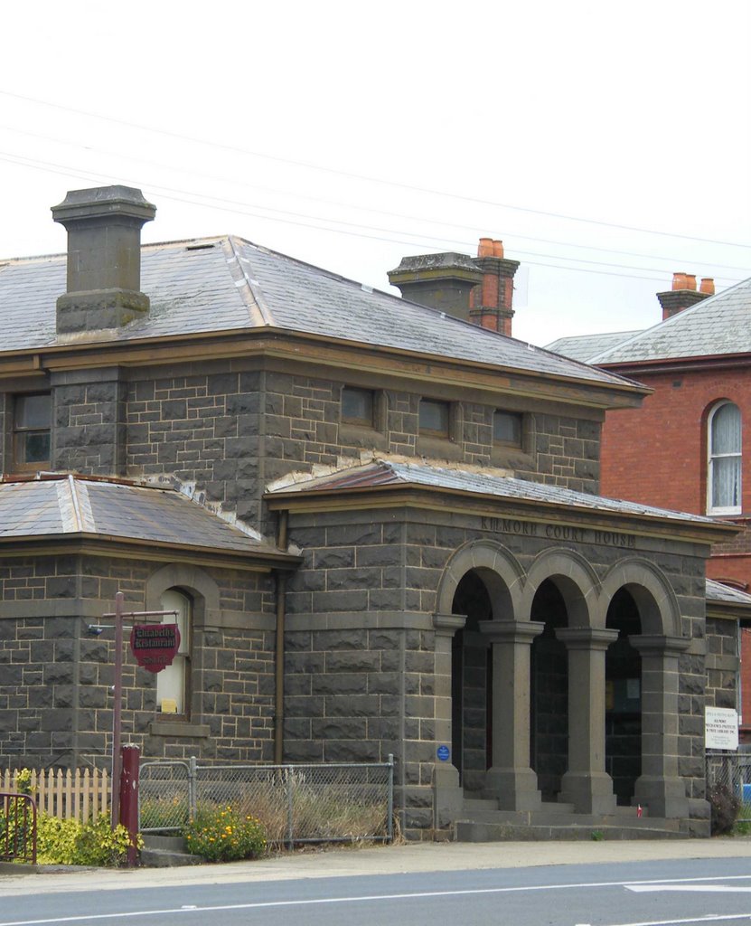
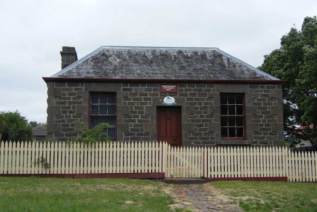
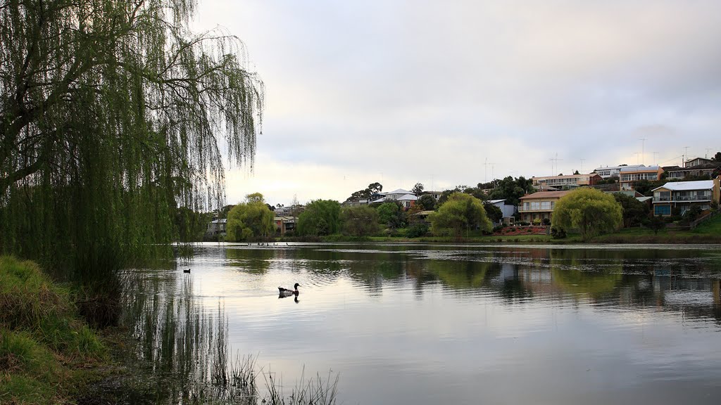
Photos of Willowmavin
Willowmavin Weather

Predicción: Overcast clouds
Temperatura: 11.7°
Humedad: 69%
Hora actual: 09:59 PM
Amanece: 06:47 AM
Anochece: 05:52 PM
Wallington, Australia
Latitude: -38.2171 // Longitude: 144.506
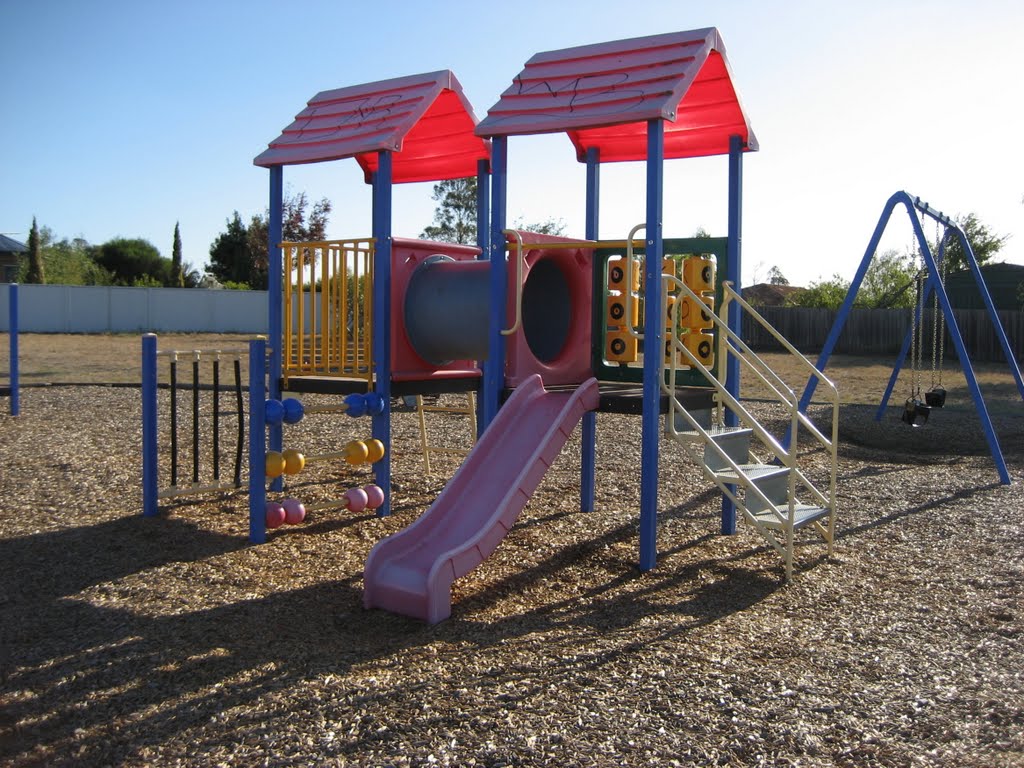
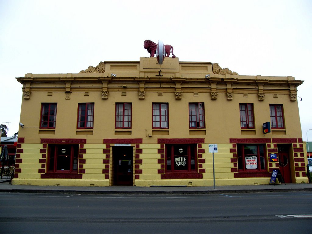
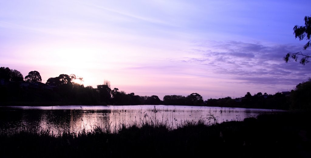
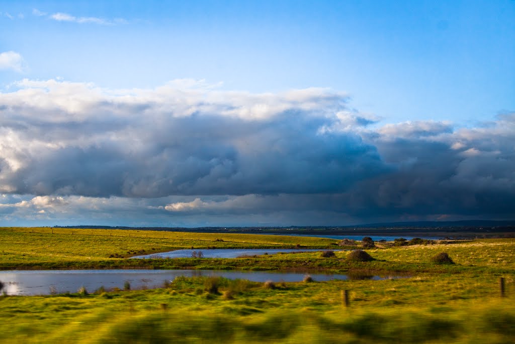
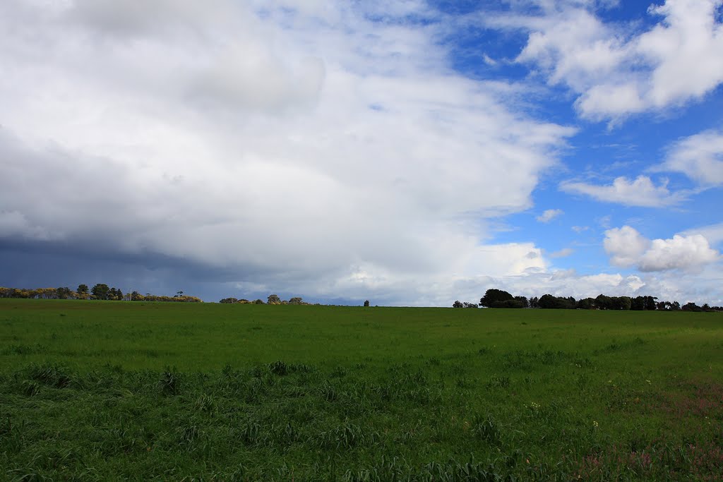
Photos of Wallington
Wallington Weather

Predicción: Overcast clouds
Temperatura: 11.2°
Humedad: 93%
Hora actual: 09:59 PM
Amanece: 06:50 AM
Anochece: 05:53 PM


