Distance between  Wiangaree and
  Tomingley
398.09 mi Straight Distance
528.62 mi Driving Distance
8 hours 48 mins Estimated Driving Time
The straight distance between Wiangaree (New South Wales) and Tomingley (New South Wales) is 398.09 mi, but the driving distance is 528.62 mi.
It takes to go from Wiangaree to Tomingley.
Driving directions from Wiangaree to Tomingley
Distance in kilometers
Straight distance: 640.53 km. Route distance: 850.55 km
Wiangaree, Australia
Latitude: -28.5064 // Longitude: 152.967
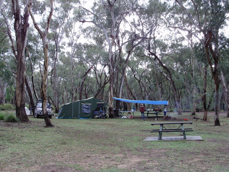
Photos of Wiangaree
Wiangaree Weather

Predicción: Clear sky
Temperatura: 16.1°
Humedad: 96%
Hora actual: 12:00 AM
Amanece: 08:06 PM
Anochece: 07:28 AM
Tomingley, Australia
Latitude: -32.5698 // Longitude: 148.222
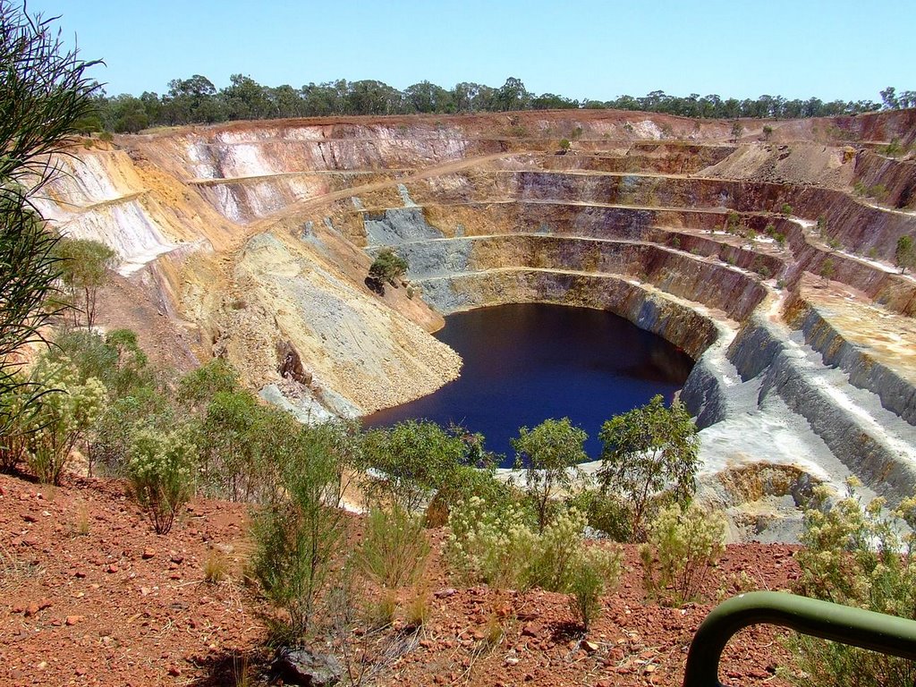
Photos of Tomingley
Tomingley Weather

Predicción: Clear sky
Temperatura: 13.4°
Humedad: 44%
Hora actual: 12:00 AM
Amanece: 08:29 PM
Anochece: 07:43 AM


