Distance between  Whitefoord and
  Talawa
79.97 mi Straight Distance
122.38 mi Driving Distance
2 hours 41 mins Estimated Driving Time
The straight distance between Whitefoord (Tasmania) and Talawa (Tasmania) is 79.97 mi, but the driving distance is 122.38 mi.
It takes to go from Whitefoord to Talawa.
Driving directions from Whitefoord to Talawa
Distance in kilometers
Straight distance: 128.67 km. Route distance: 196.91 km
Whitefoord, Australia
Latitude: -42.426 // Longitude: 147.512
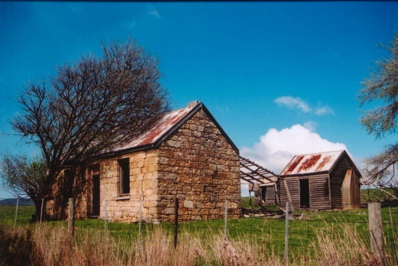
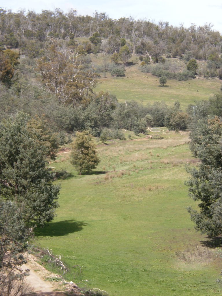
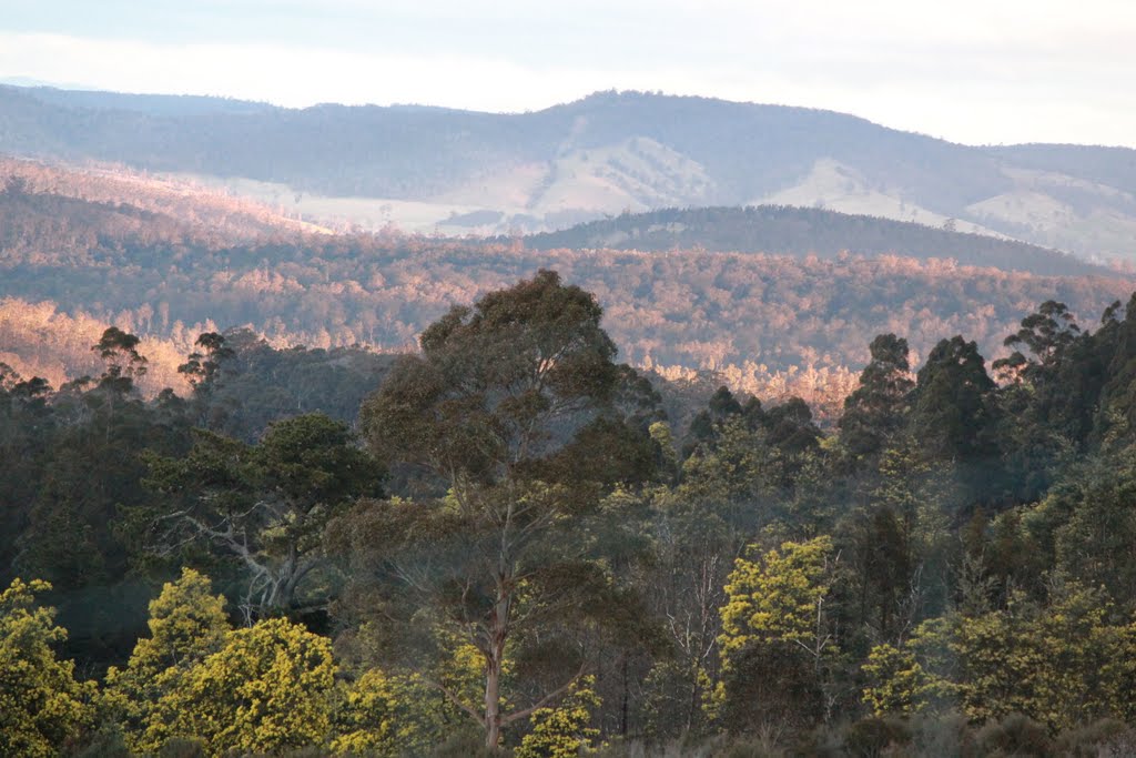
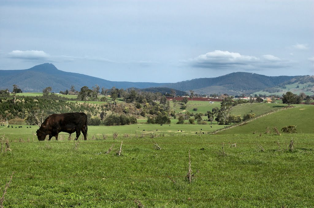
Photos of Whitefoord
Whitefoord Weather

Predicción: Scattered clouds
Temperatura: 12.6°
Humedad: 72%
Hora actual: 12:00 AM
Amanece: 08:45 PM
Anochece: 07:32 AM
Talawa, Australia
Latitude: -41.2789 // Longitude: 147.719
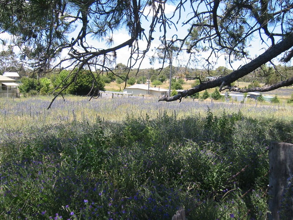
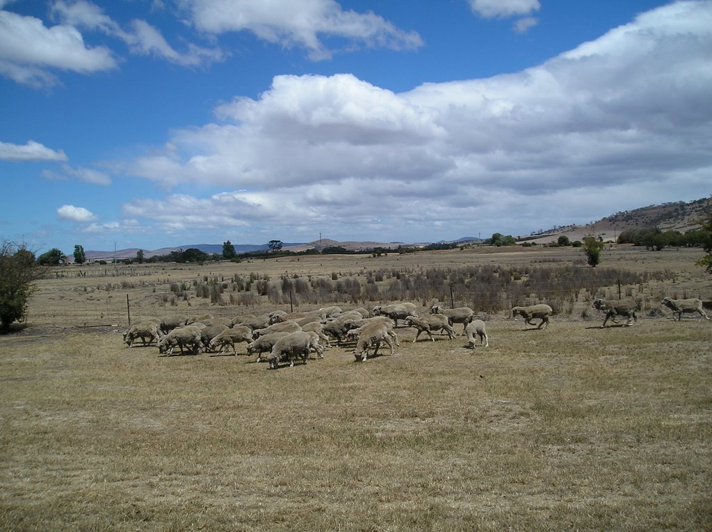
Photos of Talawa
Talawa Weather

Predicción: Overcast clouds
Temperatura: 10.8°
Humedad: 97%
Hora actual: 12:00 AM
Amanece: 08:43 PM
Anochece: 07:33 AM


