Distance between  White Hills and
  Punchbowl
360.89 mi Straight Distance
432.82 mi Driving Distance
11 hours 40 mins Estimated Driving Time
The straight distance between White Hills (Victoria) and Punchbowl (Tasmania) is 360.89 mi, but the driving distance is 432.82 mi.
It takes to go from White Hills to Punchbowl.
Driving directions from White Hills to Punchbowl
Distance in kilometers
Straight distance: 580.67 km. Route distance: 696.40 km
White Hills, Australia
Latitude: -36.7283 // Longitude: 144.306
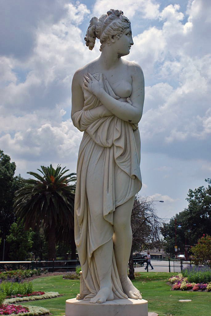
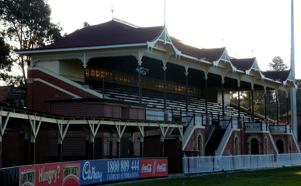
Photos of White Hills
White Hills Weather

Predicción: Clear sky
Temperatura: 8.8°
Humedad: 89%
Hora actual: 05:51 AM
Amanece: 06:51 AM
Anochece: 05:51 PM
Punchbowl, Australia
Latitude: -41.4588 // Longitude: 147.162
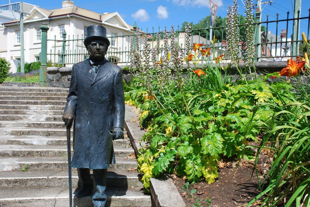
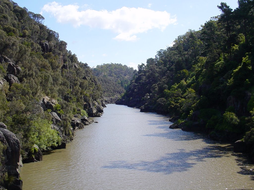
Photos of Punchbowl
Punchbowl Weather

Predicción: Overcast clouds
Temperatura: 9.4°
Humedad: 81%
Hora actual: 05:51 AM
Amanece: 06:46 AM
Anochece: 05:34 PM


