Distance between  Whaleback and
  Boyup Brook
690.81 mi Straight Distance
845.61 mi Driving Distance
14 hours 8 mins Estimated Driving Time
The straight distance between Whaleback (Western Australia) and Boyup Brook (Western Australia) is 690.81 mi, but the driving distance is 845.61 mi.
It takes to go from Whaleback to Boyup Brook.
Driving directions from Whaleback to Boyup Brook
Distance in kilometers
Straight distance: 1,111.52 km. Route distance: 1,360.58 km
Whaleback, Australia
Latitude: -23.9673 // Longitude: 114.524
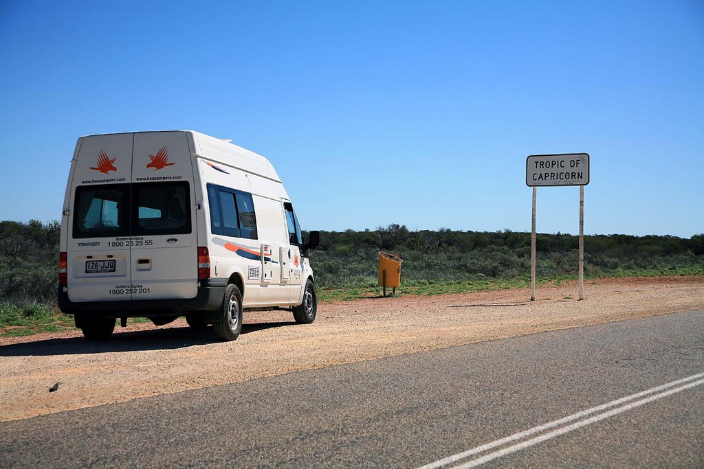
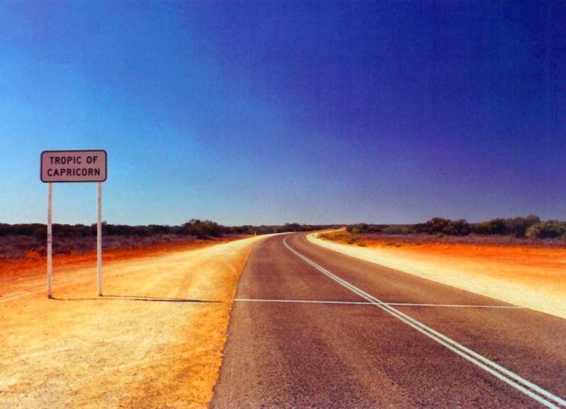
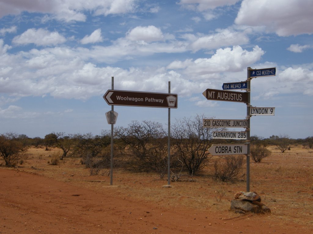
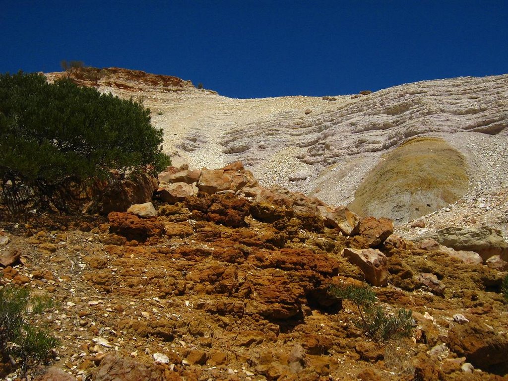
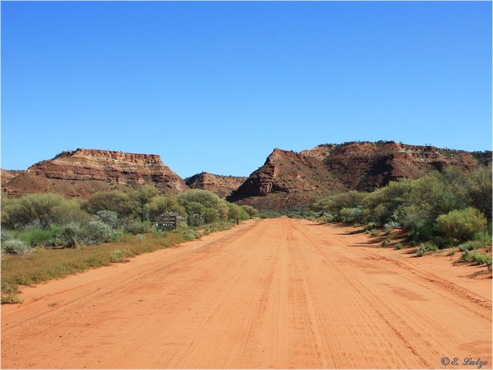
Photos of Whaleback
Whaleback Weather

Predicción: Overcast clouds
Temperatura: 28.8°
Humedad: 21%
Hora actual: 12:00 AM
Amanece: 10:37 PM
Anochece: 10:04 AM
Boyup Brook, Australia
Latitude: -33.832 // Longitude: 116.389
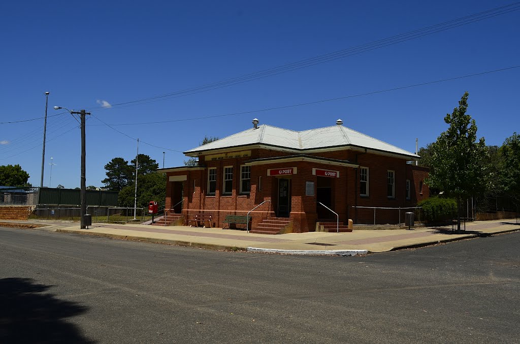
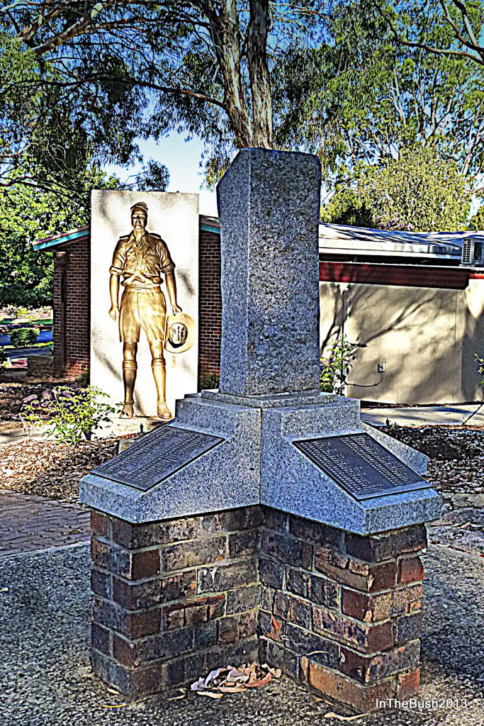
Photos of Boyup Brook
Boyup Brook Weather

Predicción: Clear sky
Temperatura: 15.4°
Humedad: 41%
Hora actual: 12:07 AM
Amanece: 06:40 AM
Anochece: 05:46 PM


